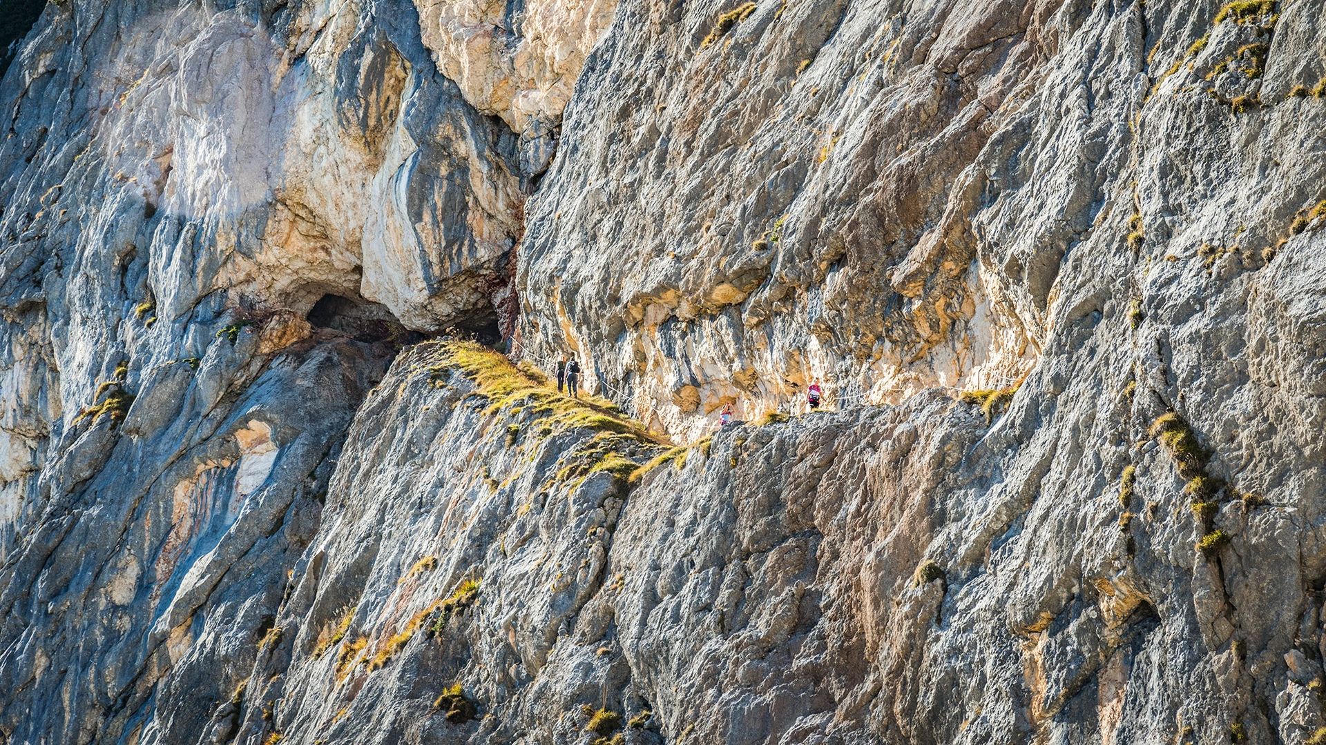
Carved into the rock: The Thomas Eder Trail on the Untersberg
Bergerlebnis Berchtesgaden

Thomas-Eder-Steig

Alpine loop route on Untersberg
  • Mountain Hike
  • Mountaineering

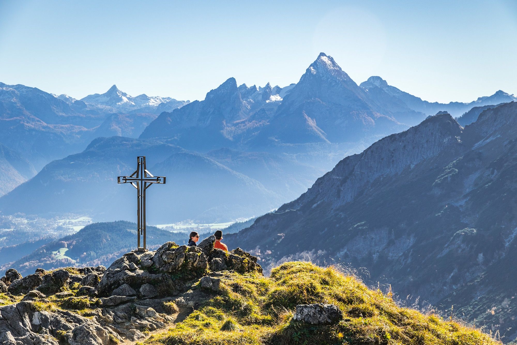
The Thomas-Eder-Steig is a varied and scenic loop hike along secured trails—some of which have been blasted into the rock—through the steep cliffs of Mount Untersberg. Scenic highlights along the route include Mittagsscharte and the Schellenberg Ice Cave.

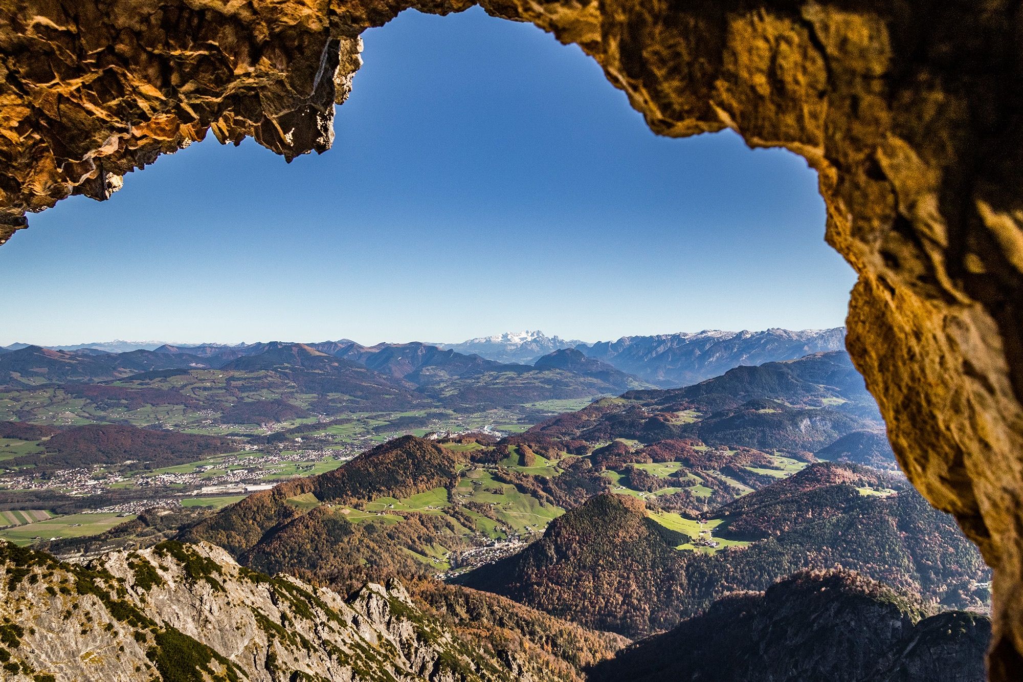
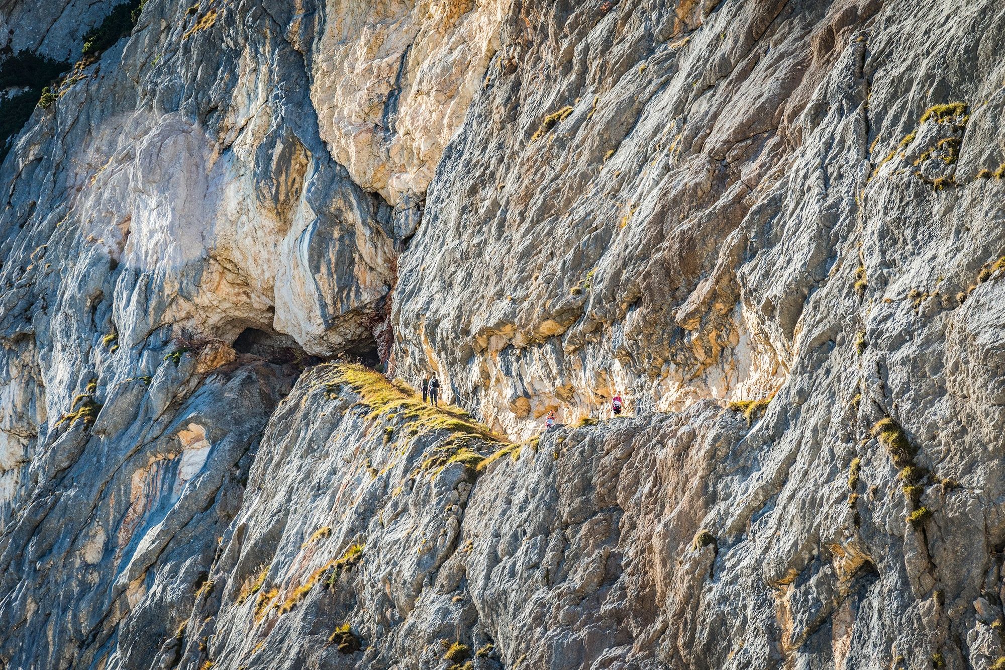
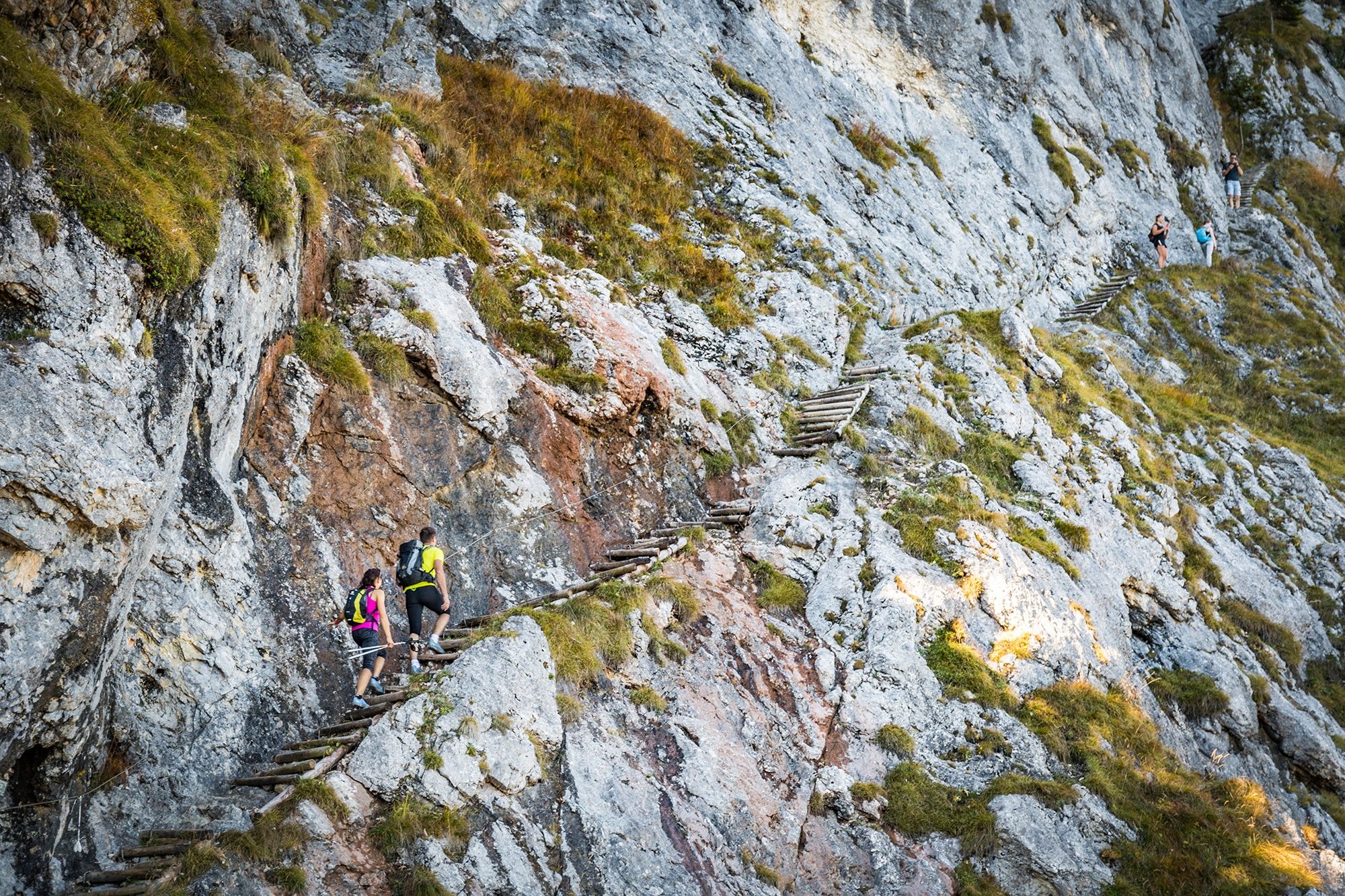
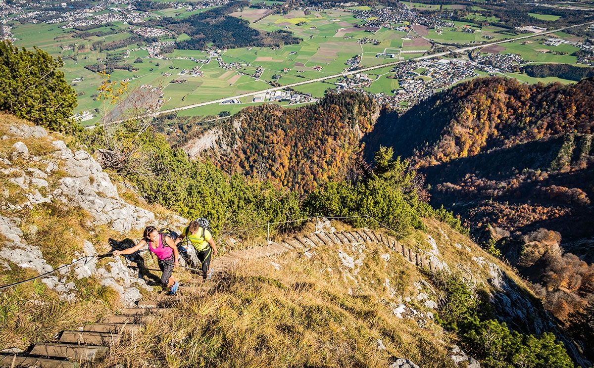
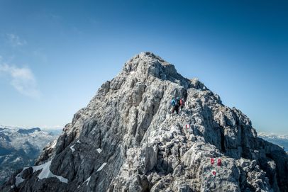
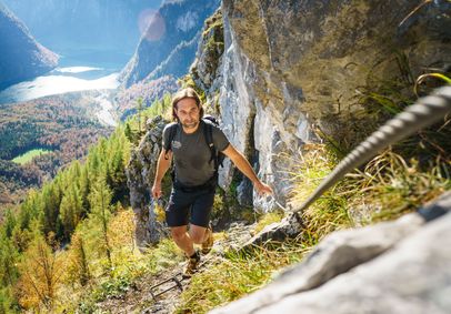
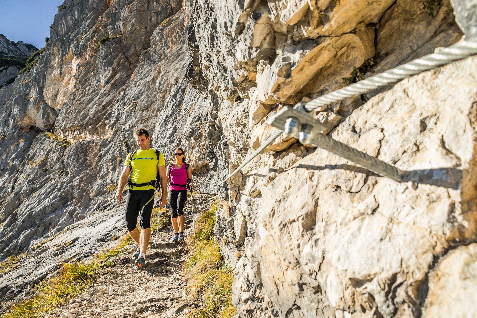
Thomas-Eder-Steig is a challenging mountain trail (KS 1) that runs largely through tunnels blasted into the rock. Completely renovated in 2004, the trail follows an impressive route through the brittle, reddish-brown south face of Großer Heubergkopf on Untersberg. Some sections of Thomas-Eder-Steig are exposed and equipped with fixed cables, offering dramatic views of the sheer walls of Untersberg.

Although the trail is well equipped with fixed cables, particular care and surefootedness are required in wet conditions. In the lower section of the trail, a short side trail leads to the Schellenberg Ice Cave, where guided tours are offered hourly from June through October.

Warning: For experienced hikers only! Thomas-Eder Trail should only be attempted by truly experienced mountaineers who are absolutely sure-footed, have a head for heights, and are in excellent physical condition.
Route details

  • Difficulty
    intermediate
  • Start point

    Untersbergbahn summit station

  • Destination

    Untersbergbahn summit station

      Fitness level4/6
      Difficulty5/6
      Landscape5/6
      Experience5/6

    J F M A M J J A S O N D

    Caution: For experienced mountaineers only! Thomas-Eder-Steig should only be attempted by highly experienced mountaineers who are absolutely surefooted, have a head for heights, and are in excellent physical condition.
    Directions

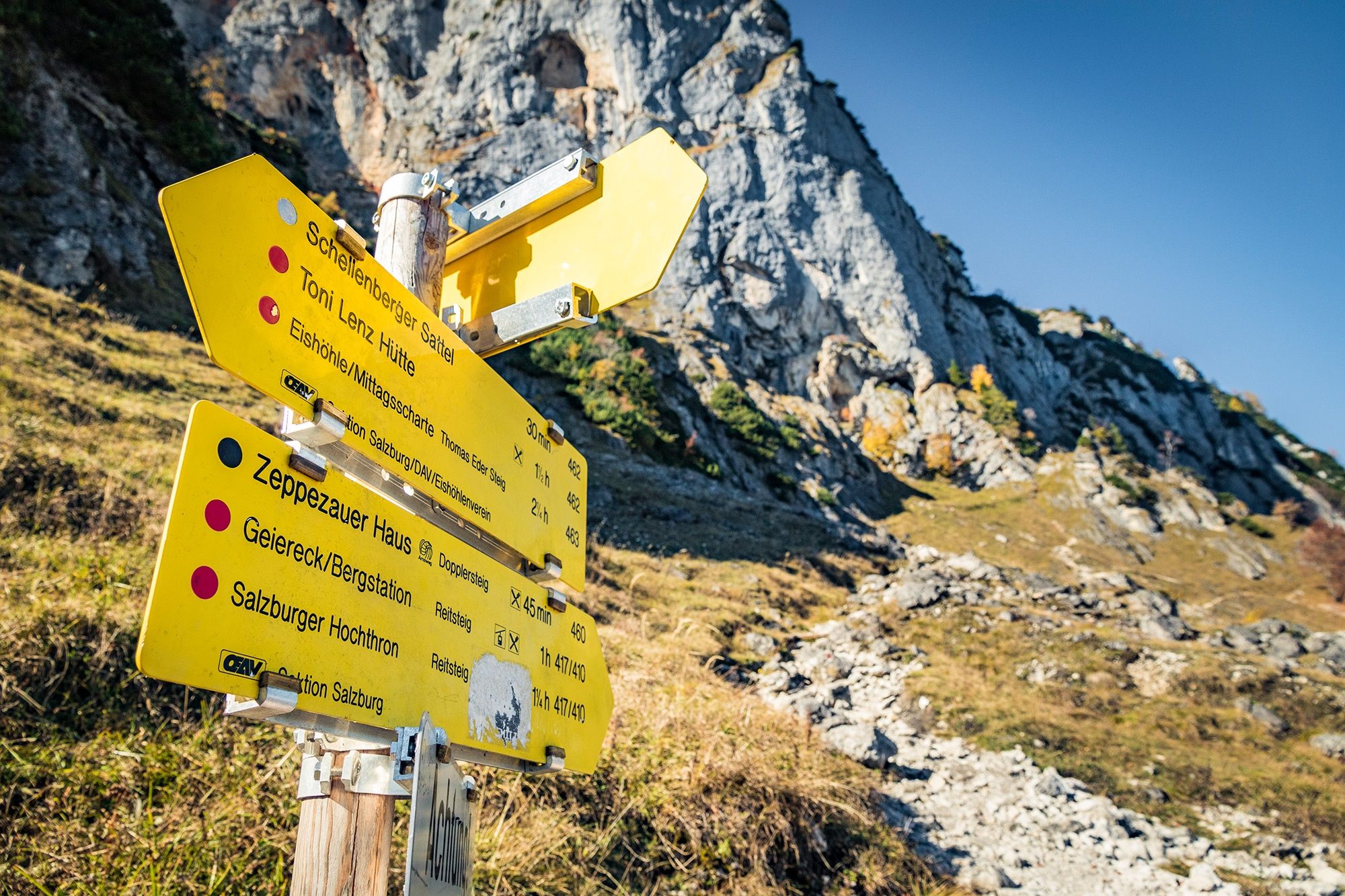
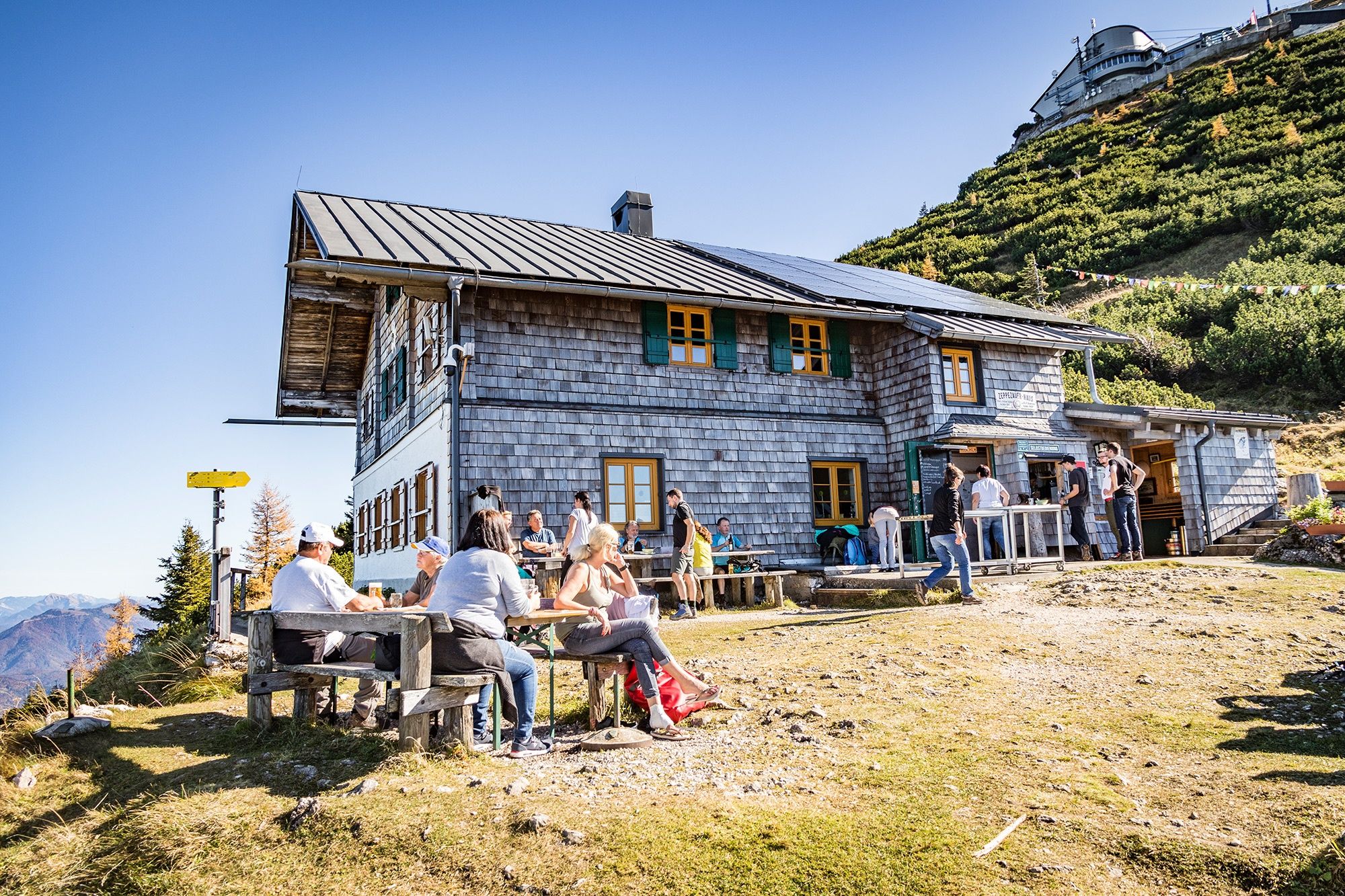
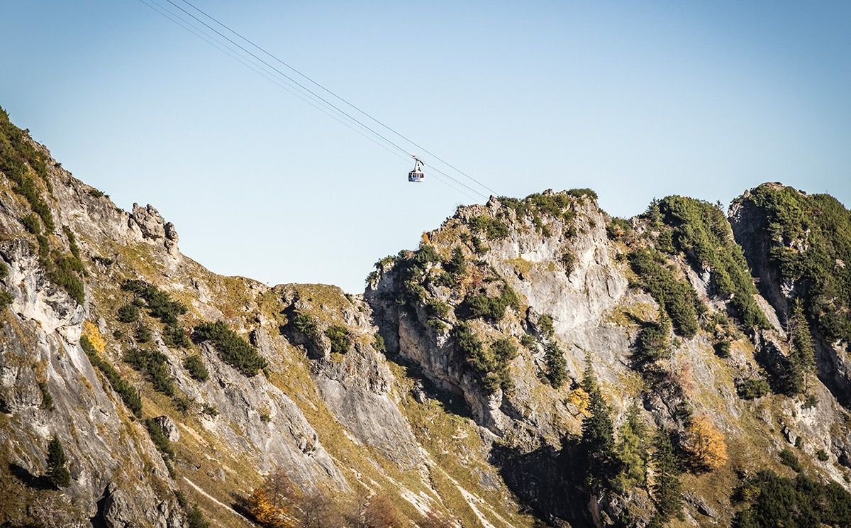
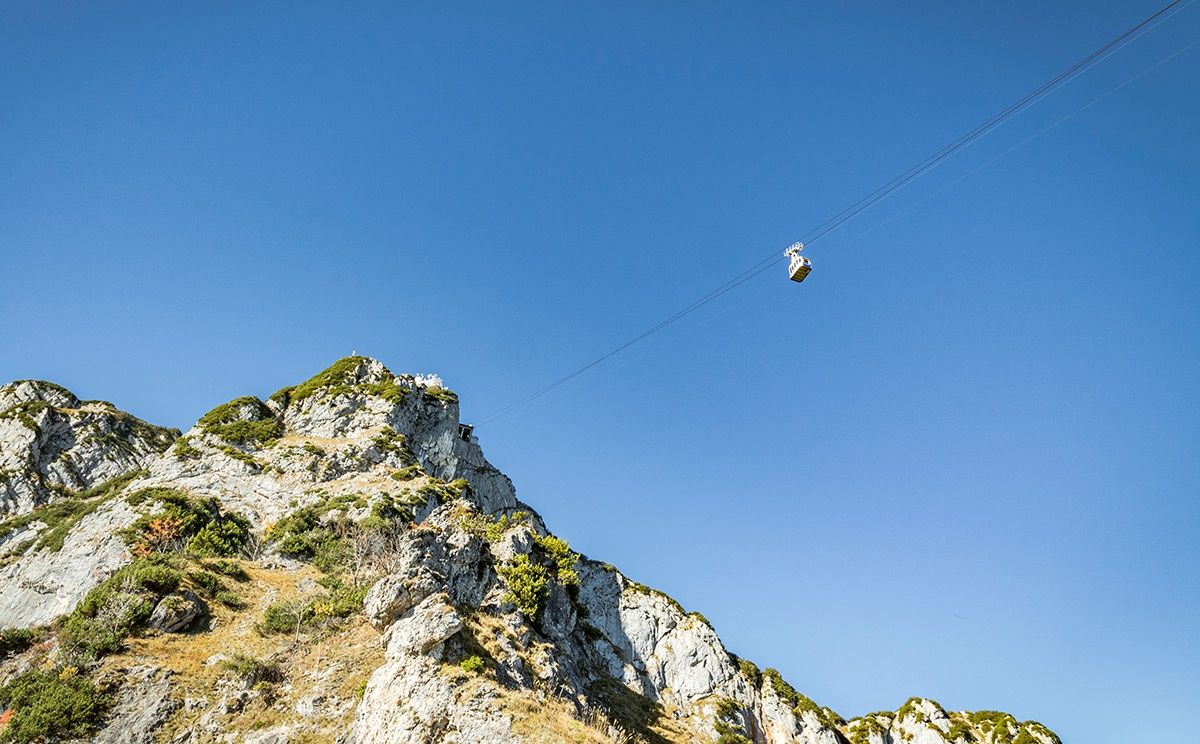
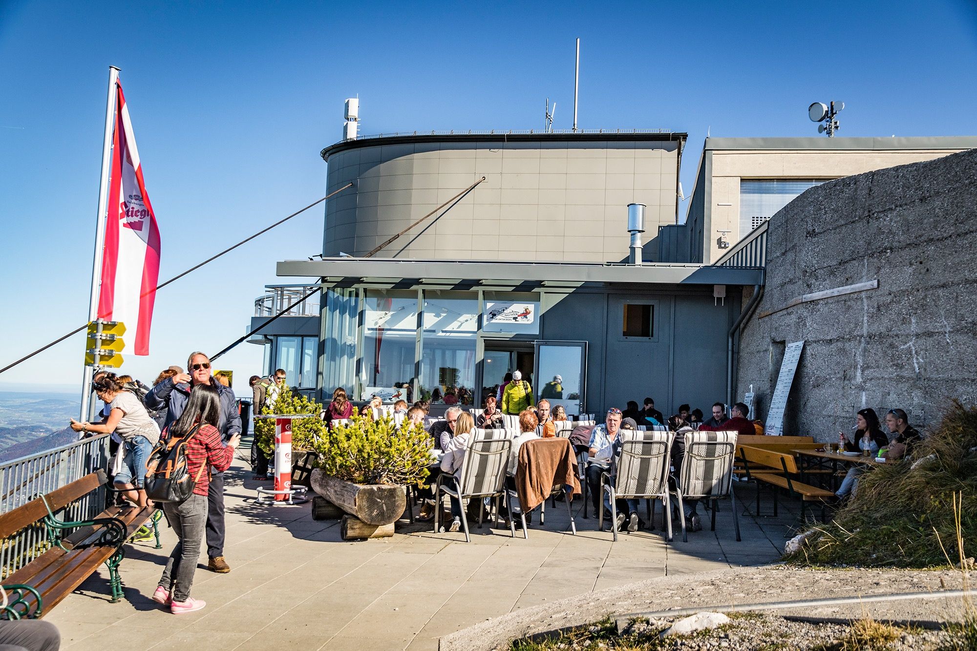
    Take the Untersbergbahn cable car to the summit station. Follow trail no. 417 across Salzburger Hochthron, then descend to Mittagsscharte. This is where Thomas-Eder-Steig (trail no. 463) begins. Following the fixed cables, the trail descends via stairways and through tunnels to Schellenberger Ice Cave. Continue to Toni-Lenz-Hütte, where you can stop for food and refreshments. Shortly afterward, narrow trail no. 462 branches off to the left. Follow it across several gullies and over Schellenberger Sattel. At the next trail junction, keep left. Continue along the steep Dopplersteig (trail no. 460), which is equipped with fixed cables, to Zeppezauerhaus and then back to the Untersbergbahn summit station.

    Mount Untersberg

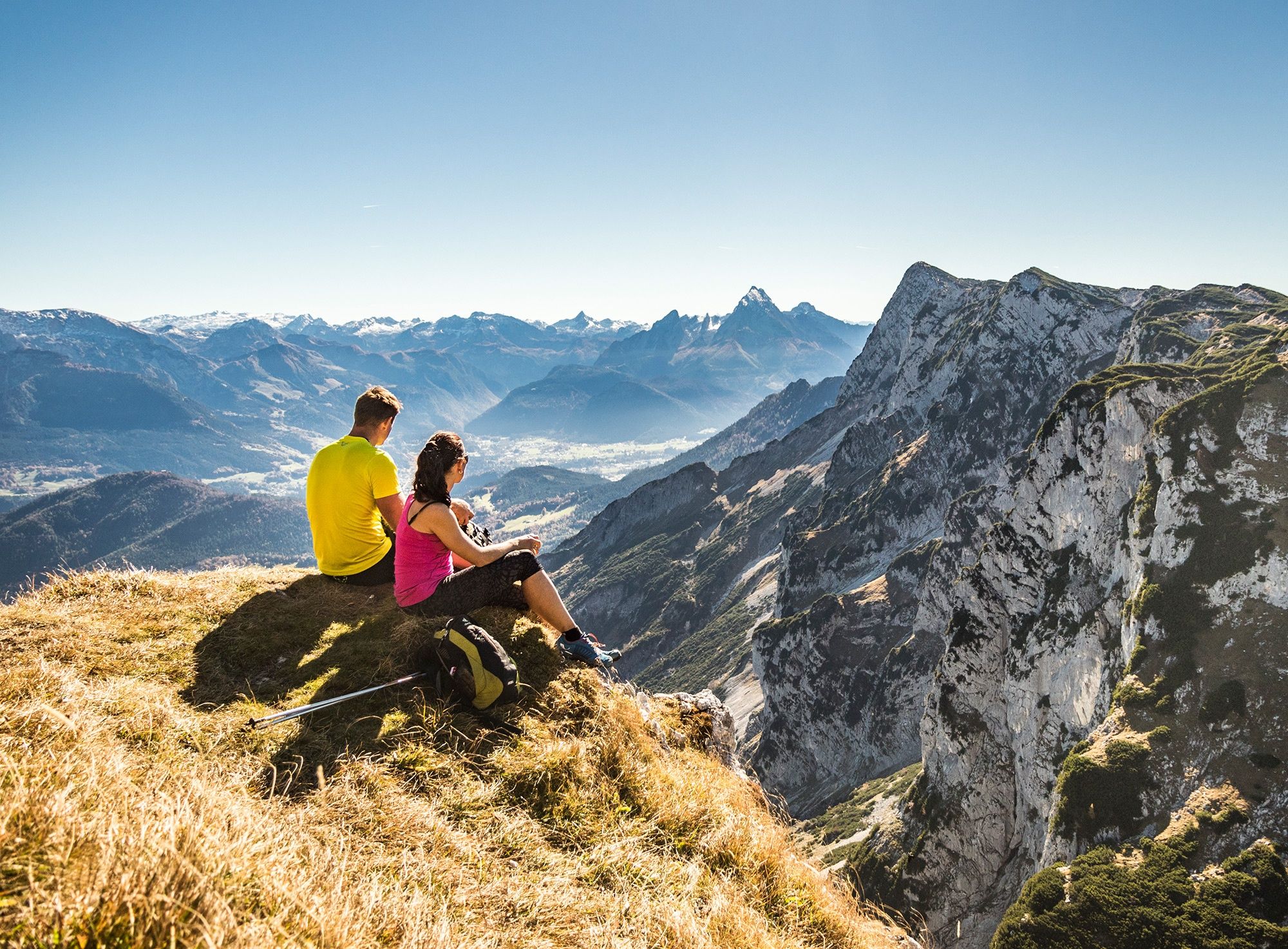
    Untersberg is the northernmost massif in the Berchtesgaden Alps and is considered the most legendary mountain in the Alps. It straddles Bavaria and Salzburg, with the border running right across the mountain.

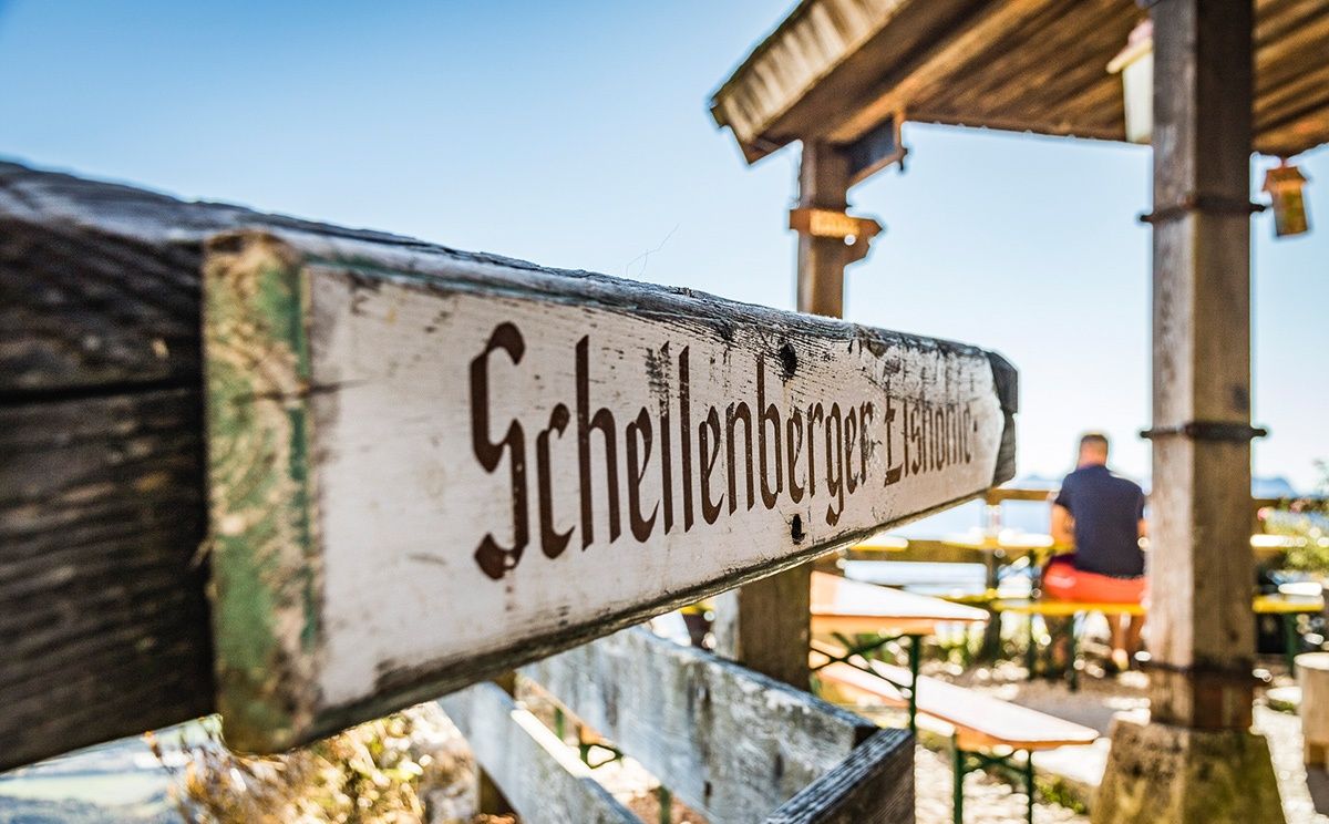
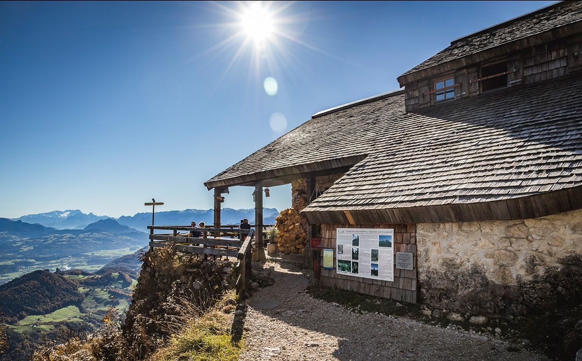
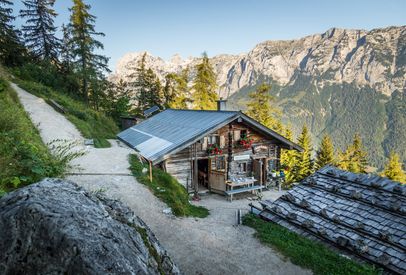
    • Toni-Lenz Hut on the Untersberg: The Ice Cave Hut

      Toni-Lenz-Hütte on Untersberg

      Marktschellenberg
      • Open today
    • Hiking Trip to the Schärtenspitze
      Bergerlebnis Berchtesgaden

      Schärtenspitze

      Ramsau
      • 9:00 h
      • 13,6 km
      • 1420 hm
      • Mountain Hike
      • Mountaineering
    • Ascent via Schärtenalm

      Hochkalter traverse

      Ramsau
      • 12:00 h
      • 18,4 km
      • 1725 hm
      • Mountain Hike
      • Mountaineering
    • On the Watzmann Ridge
      Bergerlebnis Berchtesgaden

      The Watzmann traverse

      Ramsau
      • 14:00 h
      • 23,2 km
      • 2022 hm
      • Mountain Hike
      • Mountaineering
    • The Rinnkendlsteig Trail from Königssee to Kühroint

      Rinnkendlsteig

      Schönau a. Königssee
      • 6:00 h
      • 11,0 km
      • 815 hm
      • Mountain Hike
      • Mountaineering
    • Hoher Göll Summit Cross
      Bergerlebnis Berchtesgaden

      The Göll-Brett traverse

      • 8:00 h
      • 10,2 km
      • 887 hm
      • Mountain Hike
      • Mountaineering