Hiking Trip to the Schärtenspitze
Bergerlebnis Berchtesgaden

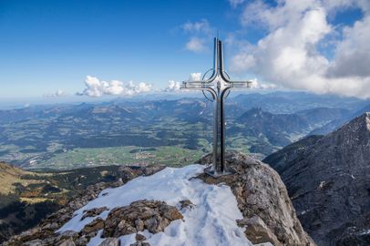
Schärtenspitze, 2,153 meters

An impressive mountain hike to Schärtenspitze in the Hochkalter massif
  • Mountain Hike
  • Mountaineering
  • 9:00 h
  • 13,6 km
  • 1420 hm

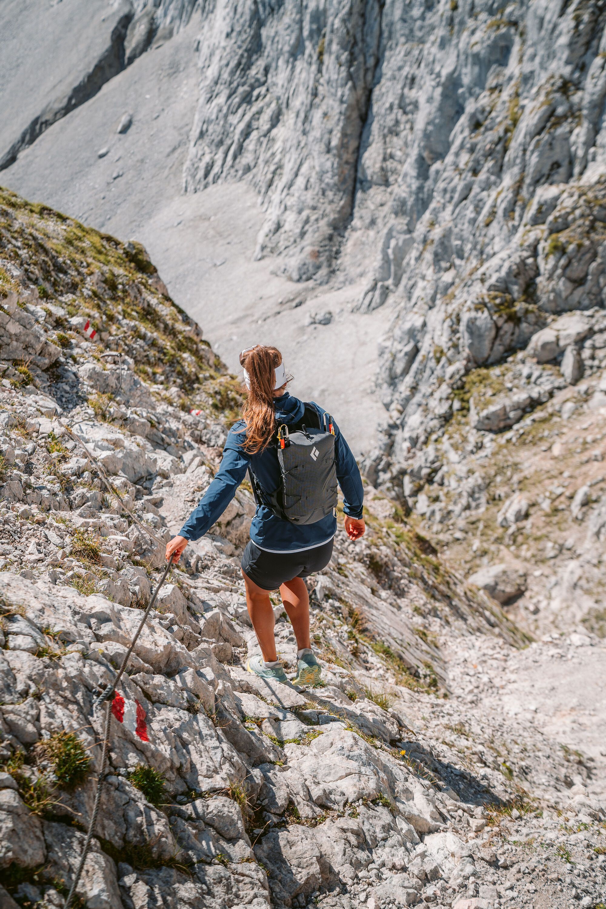
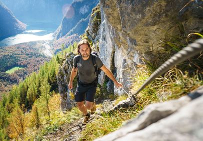
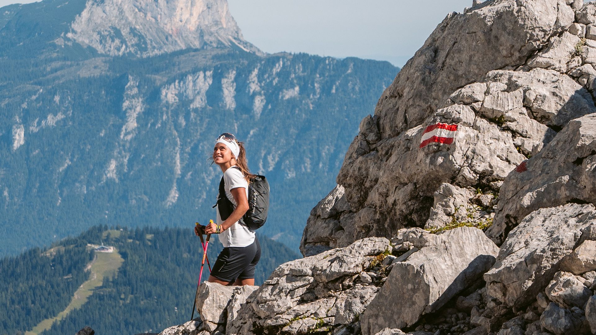
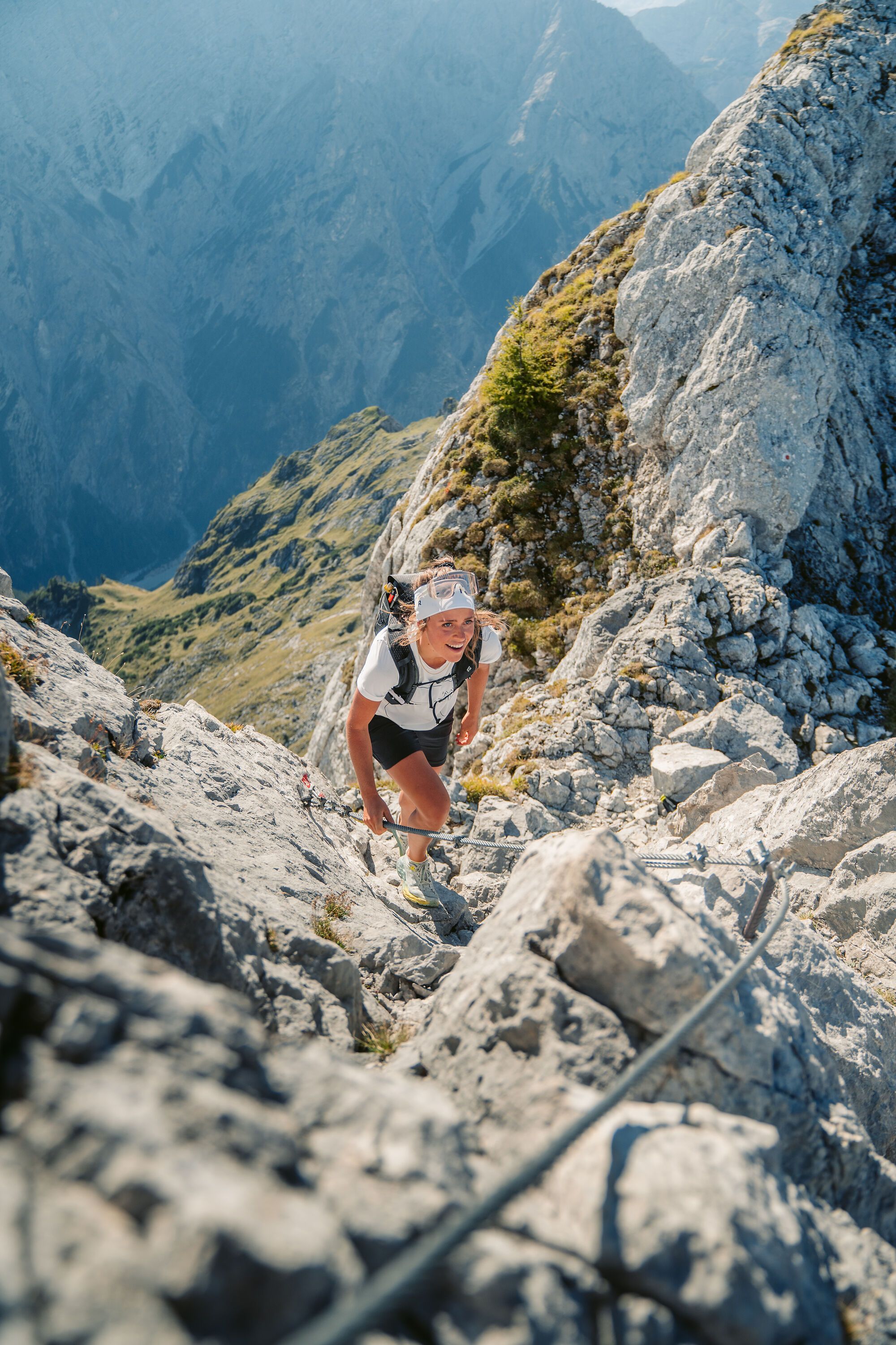
This scenic summit route rewards you with spectacular views of the remains of Blaueis Glacier. The trail to Blaueishütte is easy. Fixed cables are limited to the final 300 meters of elevation gain and must be negotiated both on the ascent and descent.

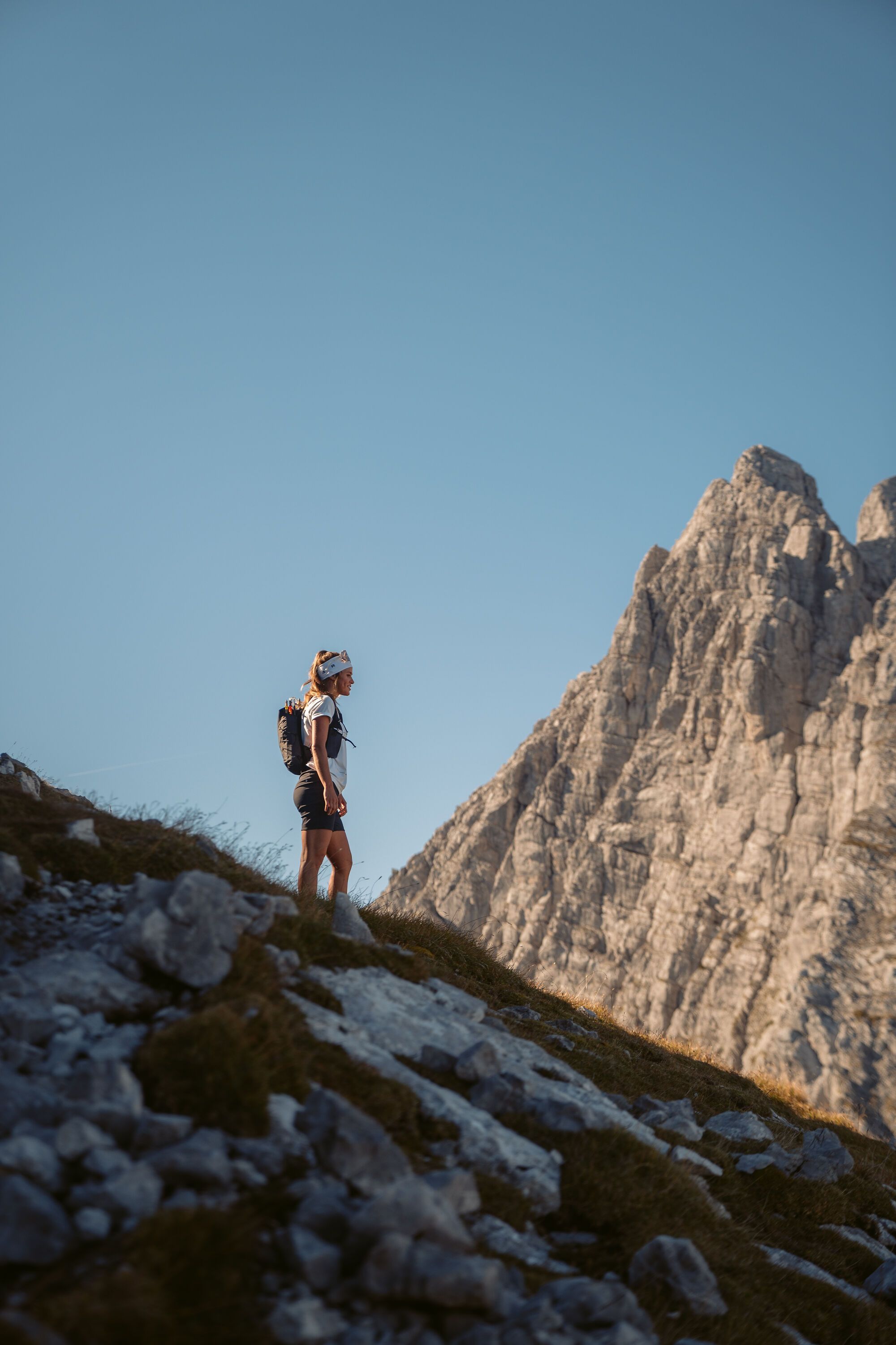
This difficult mountain trail (KS 1/2), equipped with fixed cables in some sections, leads to the striking rocky summit above Blaueishütte. The route to the exposed summit is popular due to its proximity to the hut.

Warning: For experienced mountaineers only! The hike to Schärtenspitze should only be attempted by truly experienced mountaineers who are absolutely sure-footed, have a head for heights, and are in excellent physical condition.

Route details

  • Difficulty
    hard
  • Start point

    Lake Hintersee, Ramsau

    Duration9:00 h
    Distance13,6 km
    Ascent1420 hm
    Descent1420 hm

    Fitness level5/6
    Difficulty5/6
    Landscape5/6
    Experience6/6

J F M A M J J A S O N D

Caution: For experienced mountaineers only! The route to Schärtenspitze should only be attempted by highly experienced mountaineers who are absolutely surefooted, have a head for heights, and are in excellent physical condition.
Directions

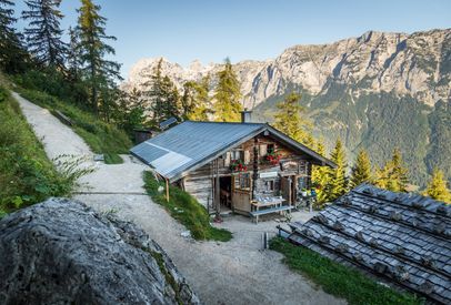
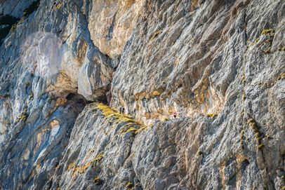
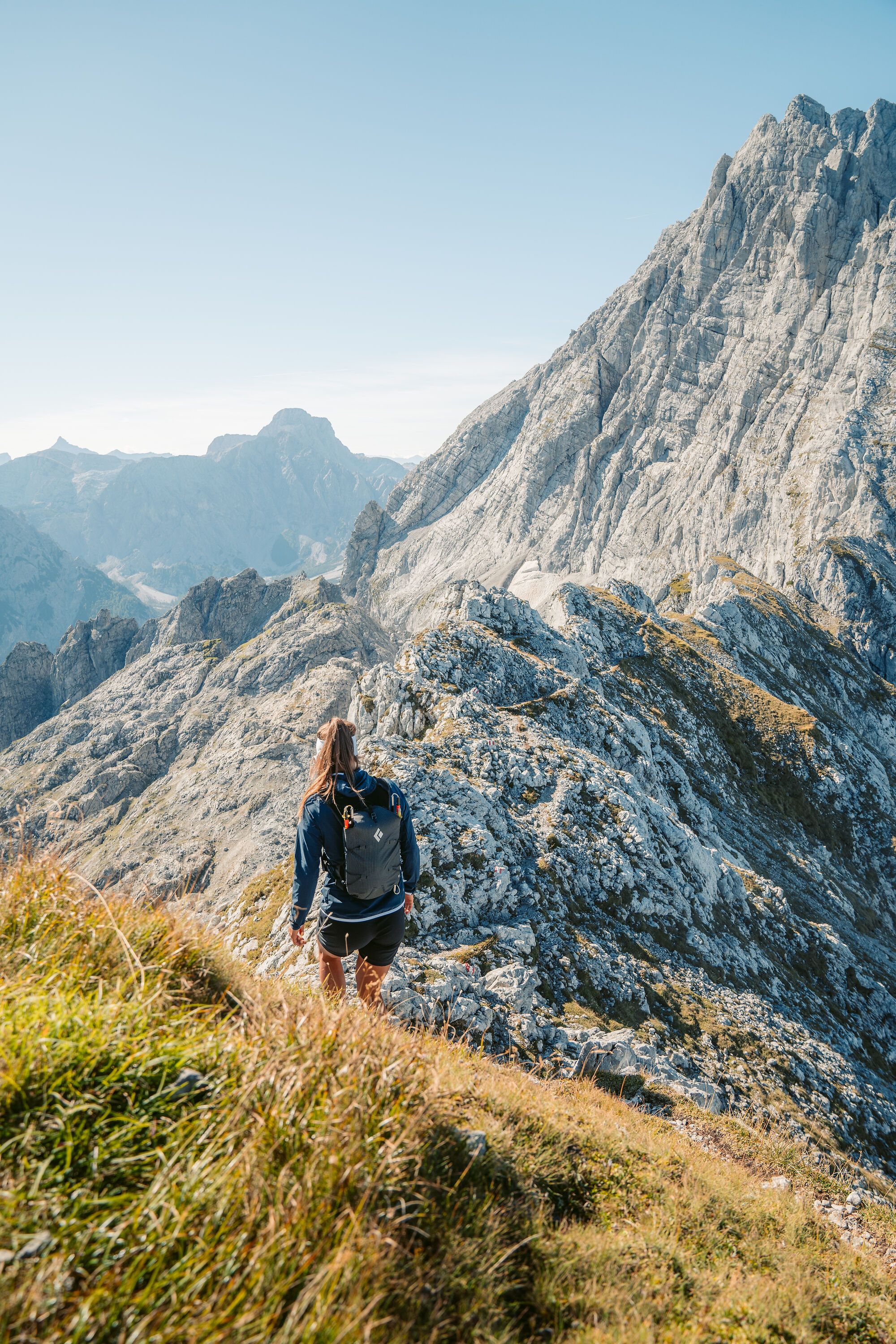
From Lake Hintersee, follow Alpine Club trail no. 482 past Schärtenalm to Blaueishütte. From Blaueishütte, continue into Blaueiskar, passing the remains of the old Blaueishütte, until you reach a huge boulder with memorial plaques and a water reservoir. From here, traverse diagonally to the left toward the base of the Schärtenspitze rock face. Climb a prominent gully that angles upward to the left and is equipped with fixed cables to negotiate the first band of slabby rock. Above it, continue diagonally left across partly grassy, broken rocky terrain on the southwest face until just below the west ridge.

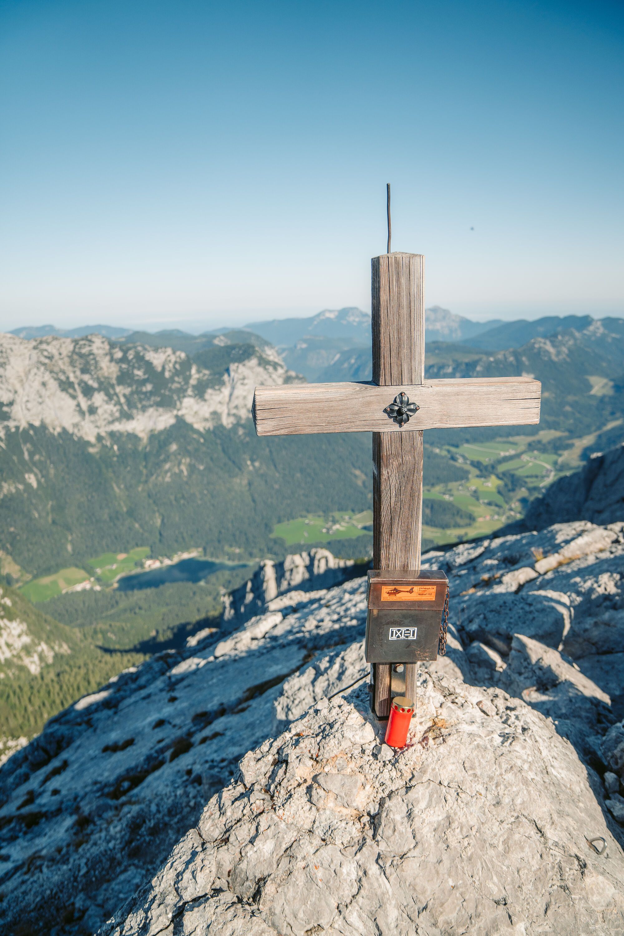
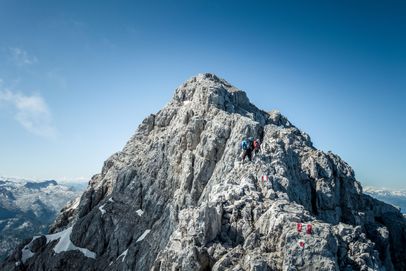
Shortly before a notch, the trail turns right. A short climbing section equipped with a fixed cable, followed by a cable-secured gully, leads to the south ridge just below the rocky summit structure of Schärtenspitze. Keep left and climb several sections equipped with fixed cables to reach the small, exposed summit of Schärtenspitze.

Descend the same route.

  • Ascent via Schärtenalm

    Hochkalter traverse

    Ramsau
    • 12:00 h
    • 18,4 km
    • 1725 hm
    • Mountain Hike
    • Mountaineering
  • Carved into the rock: The Thomas Eder Trail on the Untersberg
    Bergerlebnis Berchtesgaden

    Thomas-Eder-Steig

    Marktschellenberg
      • Mountain Hike
      • Mountaineering
    • On the Watzmann Ridge
      Bergerlebnis Berchtesgaden

      The Watzmann traverse

      Ramsau
      • 14:00 h
      • 23,2 km
      • 2022 hm
      • Mountain Hike
      • Mountaineering
    • The Rinnkendlsteig Trail from Königssee to Kühroint

      Rinnkendlsteig

      Schönau a. Königssee
      • 6:00 h
      • 11,0 km
      • 815 hm
      • Mountain Hike
      • Mountaineering
    • Hoher Göll Summit Cross
      Bergerlebnis Berchtesgaden

      The Göll-Brett traverse

      • 8:00 h
      • 10,2 km
      • 887 hm
      • Mountain Hike
      • Mountaineering