Göll Brett Crossing

The Göll-Brett traverse

Traverse of Hoher Göll and Hohes Brett
  • Mountain Hike
  • Mountaineering
  • 8:00 h
  • 10,2 km
  • 887 hm

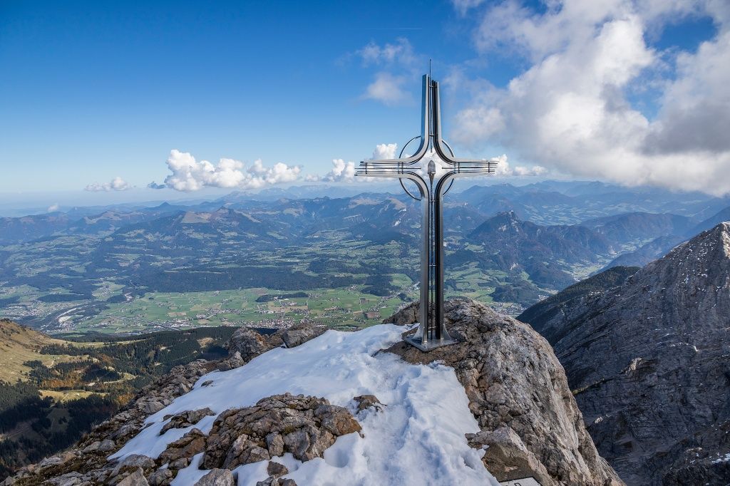
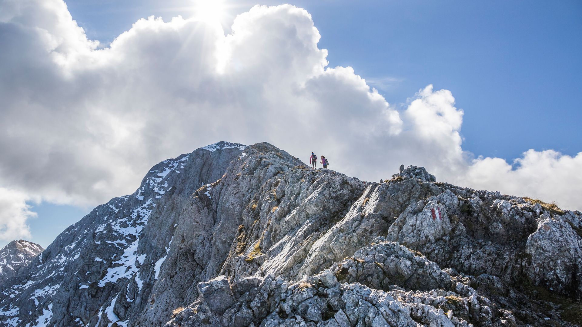
An extensive ridge traverse connecting the summits of Hoher Göll and Hohes Brett, and one of the most impressive alpine routes in the Berchtesgaden Alps.

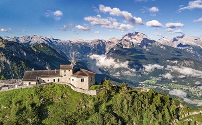
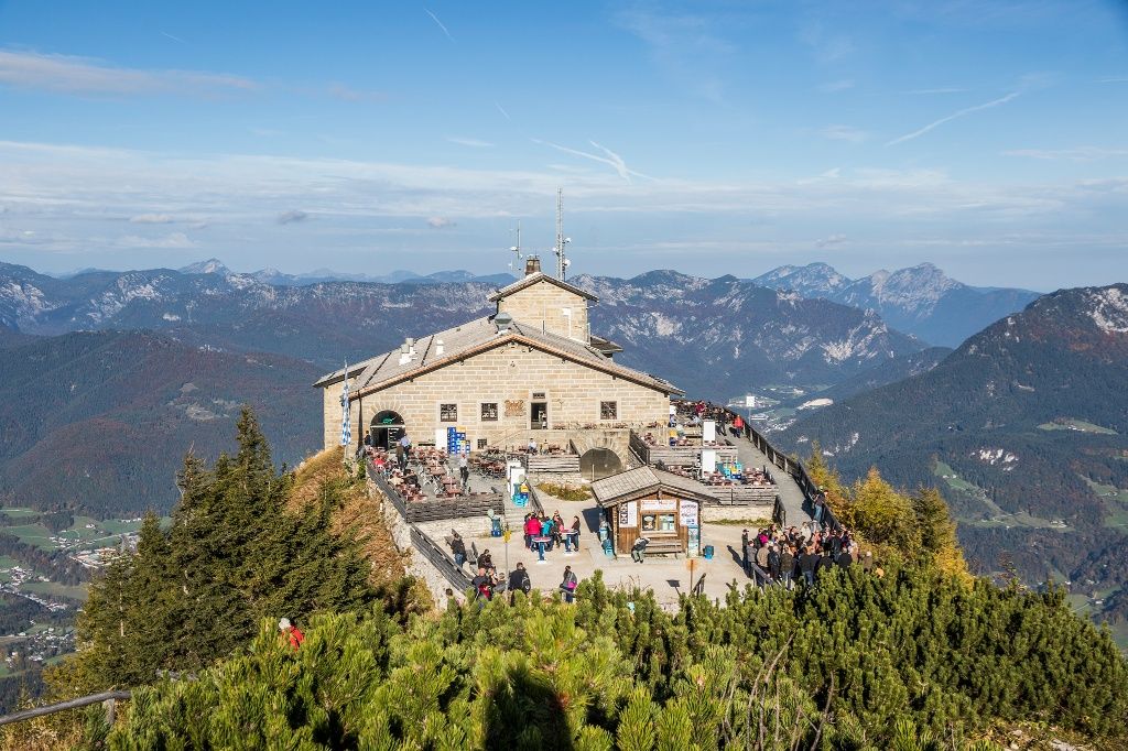
This high-alpine mountain hike connects the two main peaks of the Hoher Göll massif. There are several different routes you can take on this hike. A good starting point is to take the first bus up to the the Eagle's Nest.

Warning: For experienced mountaineers only! The Göll-Brett traverse can only be tackled by truly experienced mountaineers who are absolutely sure-footed, have a head for heights, and are in excellent physical condition.
Route details

  • Difficulty
    hard
  • Start point

    Kehlstein, Berchtesgaden

  • Destination

    Hinterbrand, Schönau am Königssee

    Duration8:00 h
    Distance10,2 km
    Ascent887 hm
    Descent813 hm

    Fitness level6/6
    Difficulty5/6
    Landscape6/6
    Experience6/6

J F M A M J J A S O N D

Caution: For experienced mountaineers only! The Göll-Brett traverse should only be attempted by highly experienced mountaineers who are absolutely surefooted, have a head for heights, and are in excellent physical condition.
Directions

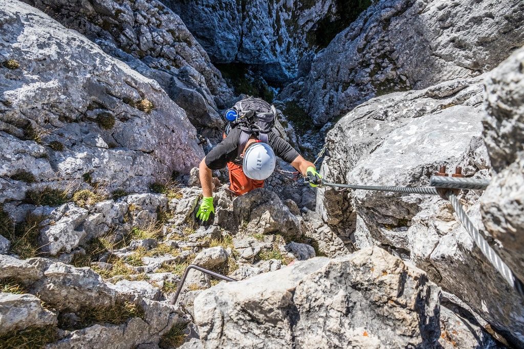
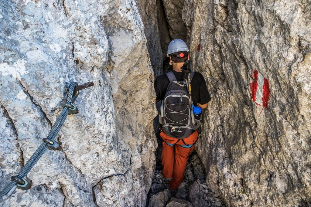
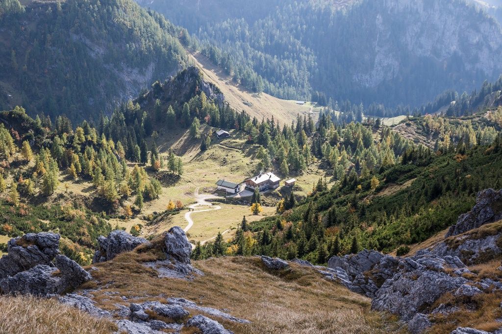
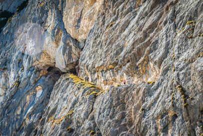
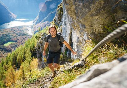
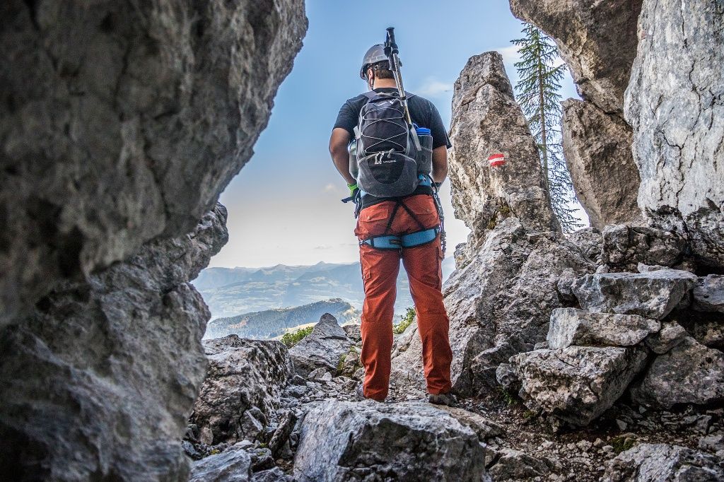
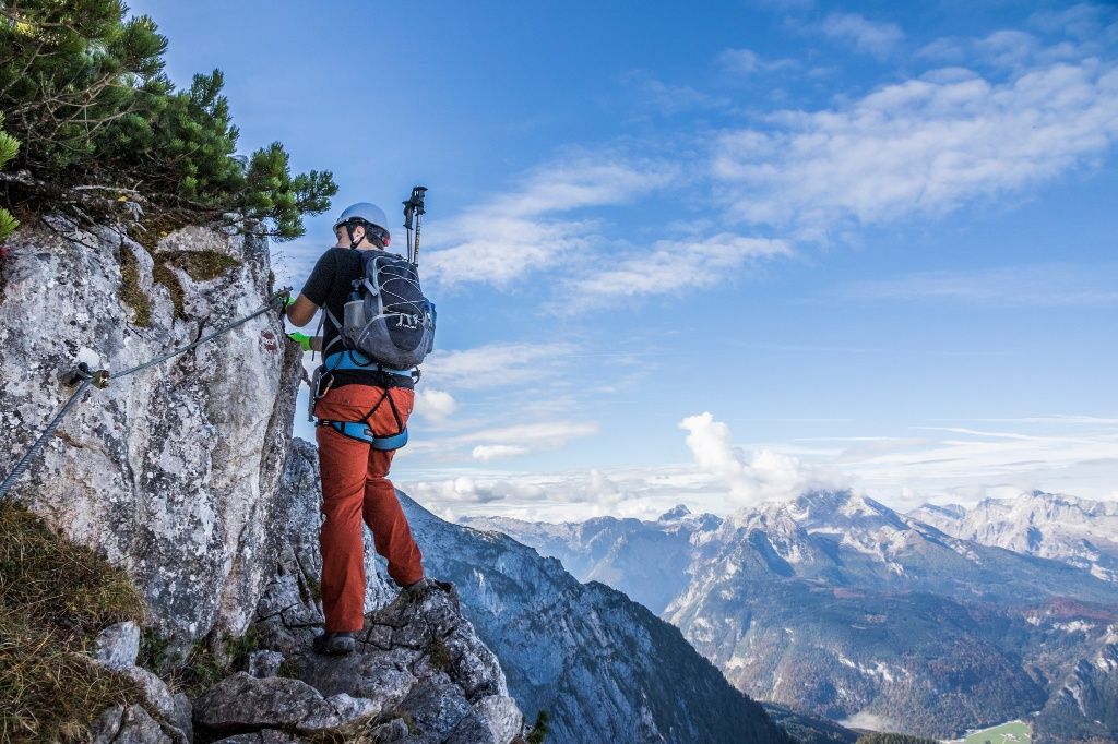
Take the first bus up to Mount Kehlstein, then hike up to the Eagle’s Nest and continue to the summit of Kehlstein. Follow the Kehlstein loop trail to a stone wall in a meadow. This is where Mandlgrat begins: A high-alpine trail leads past rock towers, along ledges and through notches, alternating between the left and right sides of the ridge. You then have to climb a vertical rock face equipped with footholds.

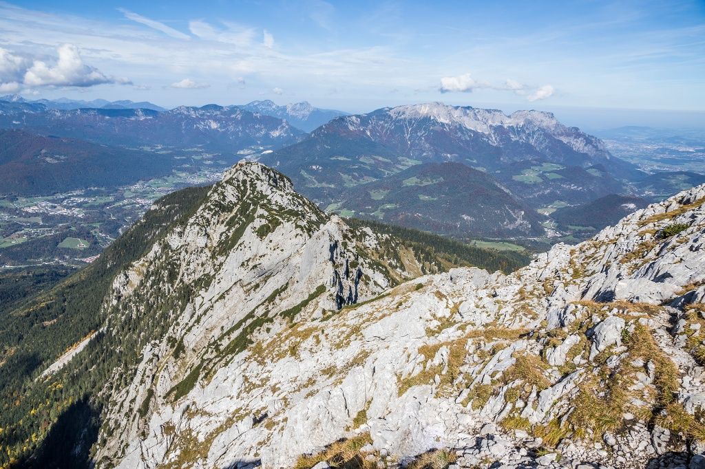
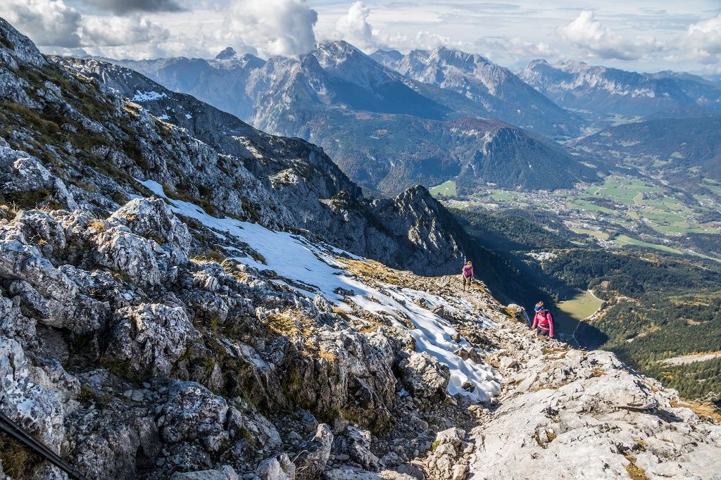
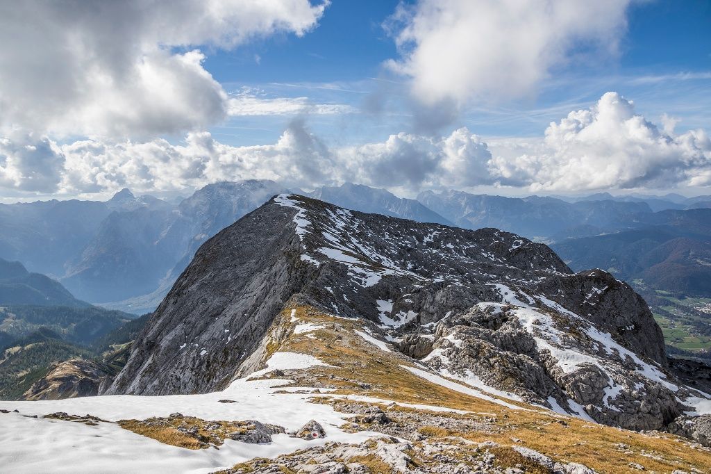
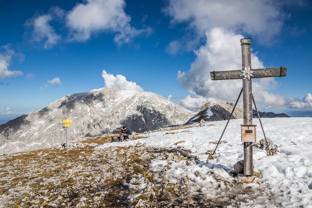
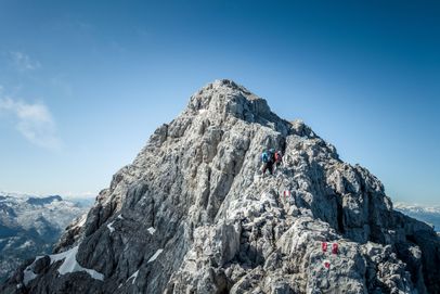
From there, the route takes you to the 2,522-meter summit of Hoher Göll. From the summit, follow the signs toward Hohes Brett and descend behind a subsidiary summit into the broad Göllscharte. Passing below Kleiner Archenkopf, you’ll reach the start of the rocky ridge, which you follow over Großer Archenkopf to Hohes Brett.

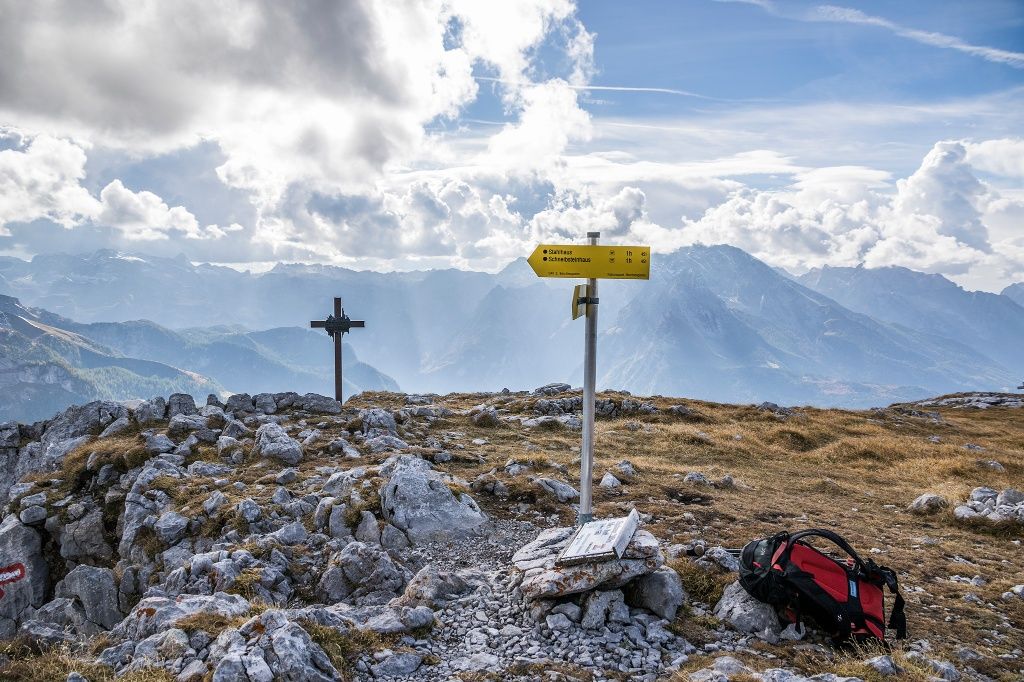
After descending via Jägerkreuz to Stahlhaus, follow the established trails either to the Jennerbahn summit station, to Hinterbrand, or all the way down to Lake Königssee.

  • Hiking Trip to the Schärtenspitze
    Bergerlebnis Berchtesgaden

    Schärtenspitze, 2,153 meters

    Ramsau
    • 9:00 h
    • 13,6 km
    • 1420 hm
    • Mountain Hike
    • Mountaineering
  • Ascent via Schärtenalm

    Hochkalter traverse

    Ramsau
    • 12:00 h
    • 18,4 km
    • 1725 hm
    • Mountain Hike
    • Mountaineering
  • Carved into the rock: The Thomas Eder Trail on the Untersberg
    Bergerlebnis Berchtesgaden

    Thomas-Eder-Steig

    Marktschellenberg
      • Mountain Hike
      • Mountaineering
    • On the Watzmann Ridge
      Bergerlebnis Berchtesgaden

      The Watzmann traverse

      Ramsau
      • 14:00 h
      • 23,2 km
      • 2022 hm
      • Mountain Hike
      • Mountaineering
    • The Rinnkendlsteig Trail from Königssee to Kühroint

      Rinnkendlsteig

      Schönau a. Königssee
      • 6:00 h
      • 11,0 km
      • 815 hm
      • Mountain Hike
      • Mountaineering
    • plenk.MEDIA

      Kehlsteinhaus - the Eagle's Nest

      Berchtesgaden
      • Open today
    • Jenneralm

      Schönau a. Königssee
      • Open today