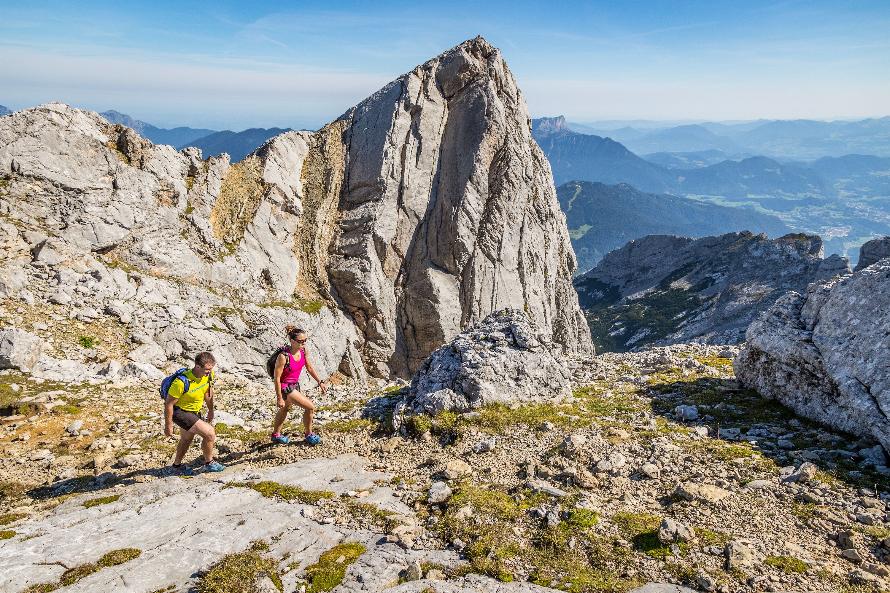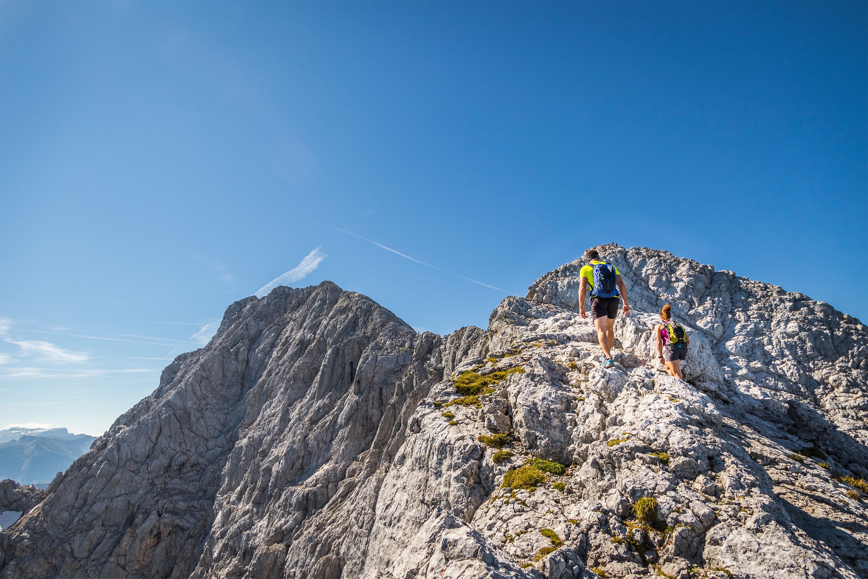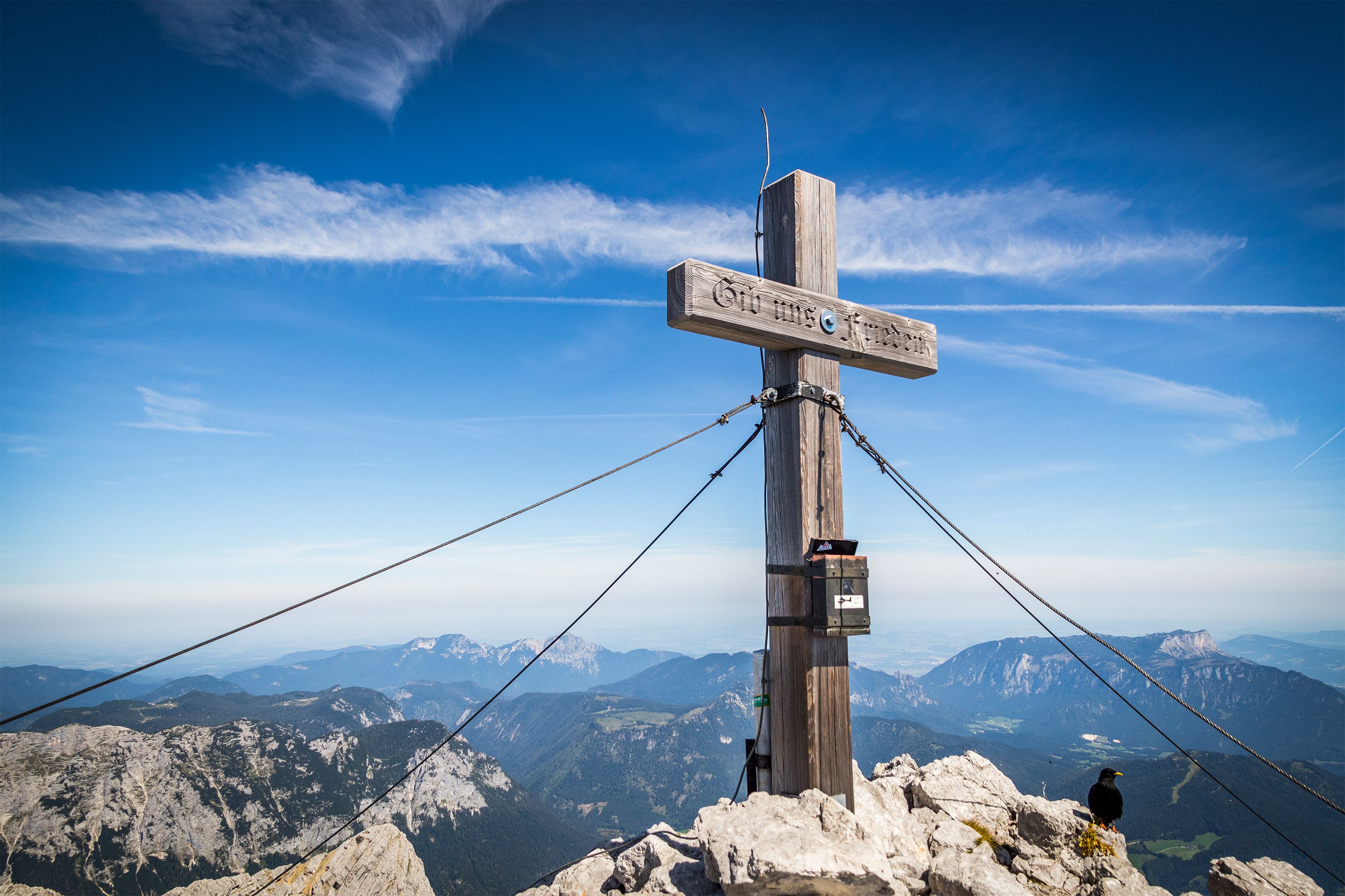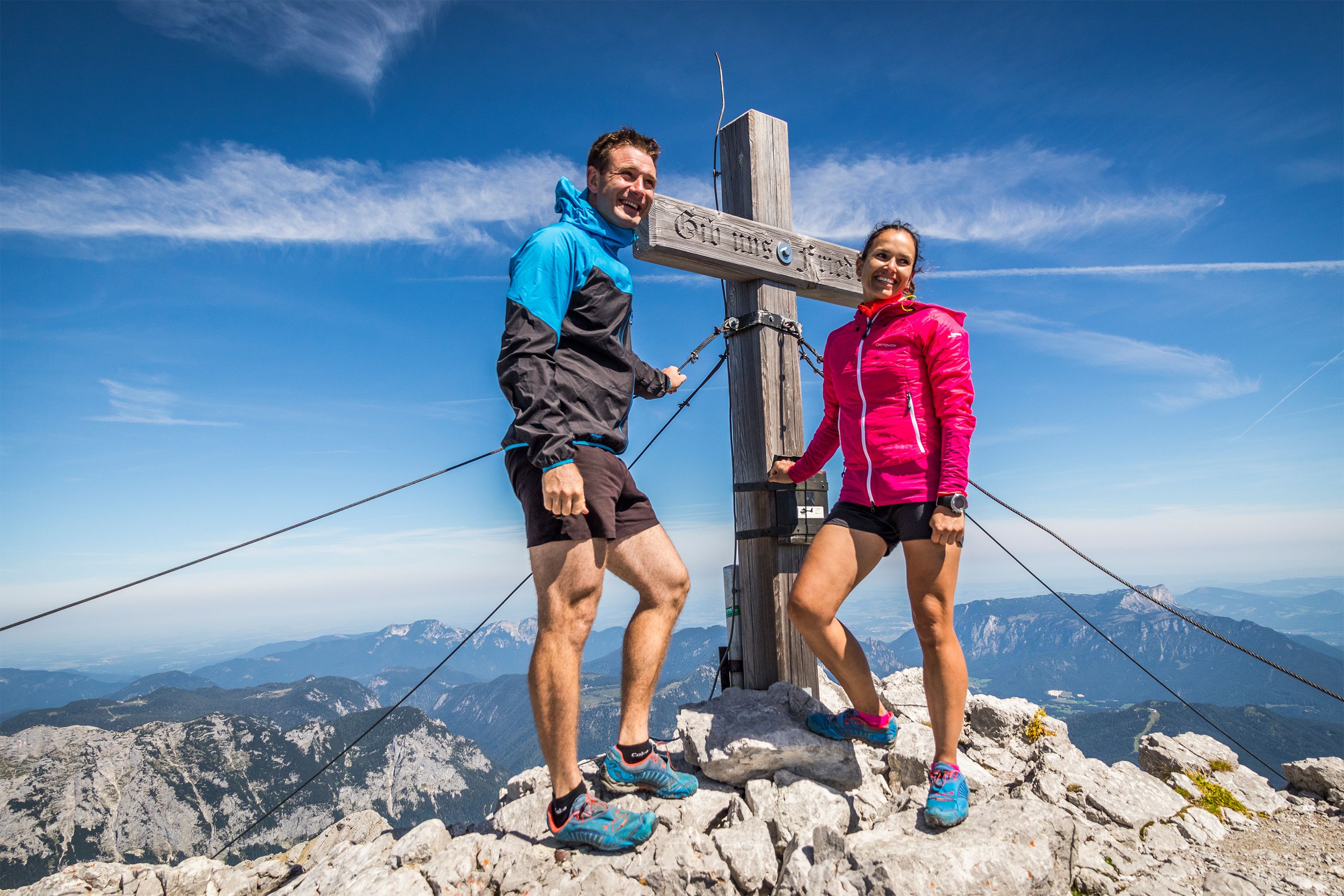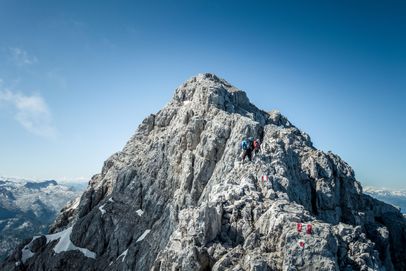
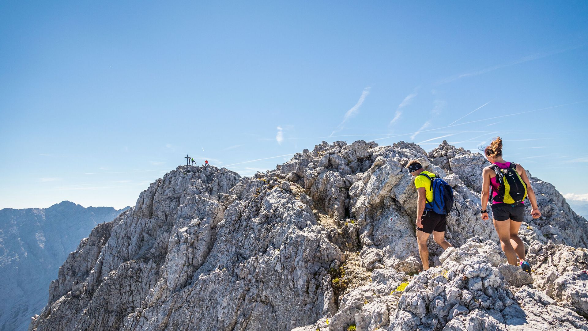
The final few meters to the summit of the Hochkalter
Bergerlebnis Berchtesgaden

Hochkalter traverse

Challenging traverse of Hochkalter
  • Mountain Hike
  • Mountaineering
  • 12:00 h
  • 18,4 km
  • 1725 hm

The challenging high-alpine traverse of the 2,607-meter-high Hochkalter in the mountaineering village of Ramsau has no safety anchors and challenges you with climbing sections up to difficulty level II.

Warning: For experienced climbers only! The Hochkalter traverse should only be attempted by truly experienced mountaineers who are absolutely sure-footed, have no fear of heights, and are in excellent physical condition.
Route details

  • Difficulty
    hard
  • Start point

    Hintersee, Ramsau

  • Destination

    Hintersee, Ramsau

    Duration12:00 h
    Distance18,4 km
    Ascent1725 hm
    Descent1726 hm

    Fitness level6/6
    Difficulty6/6
    Landscape6/6
    Experience6/6

J F M A M J J A S O N D

Caution: For experienced mountaineers only! The Hochkalter Traverse should only be attempted by highly experienced mountaineers who are absolutely surefooted, have a head for heights, and are in excellent physical condition.
Impressions

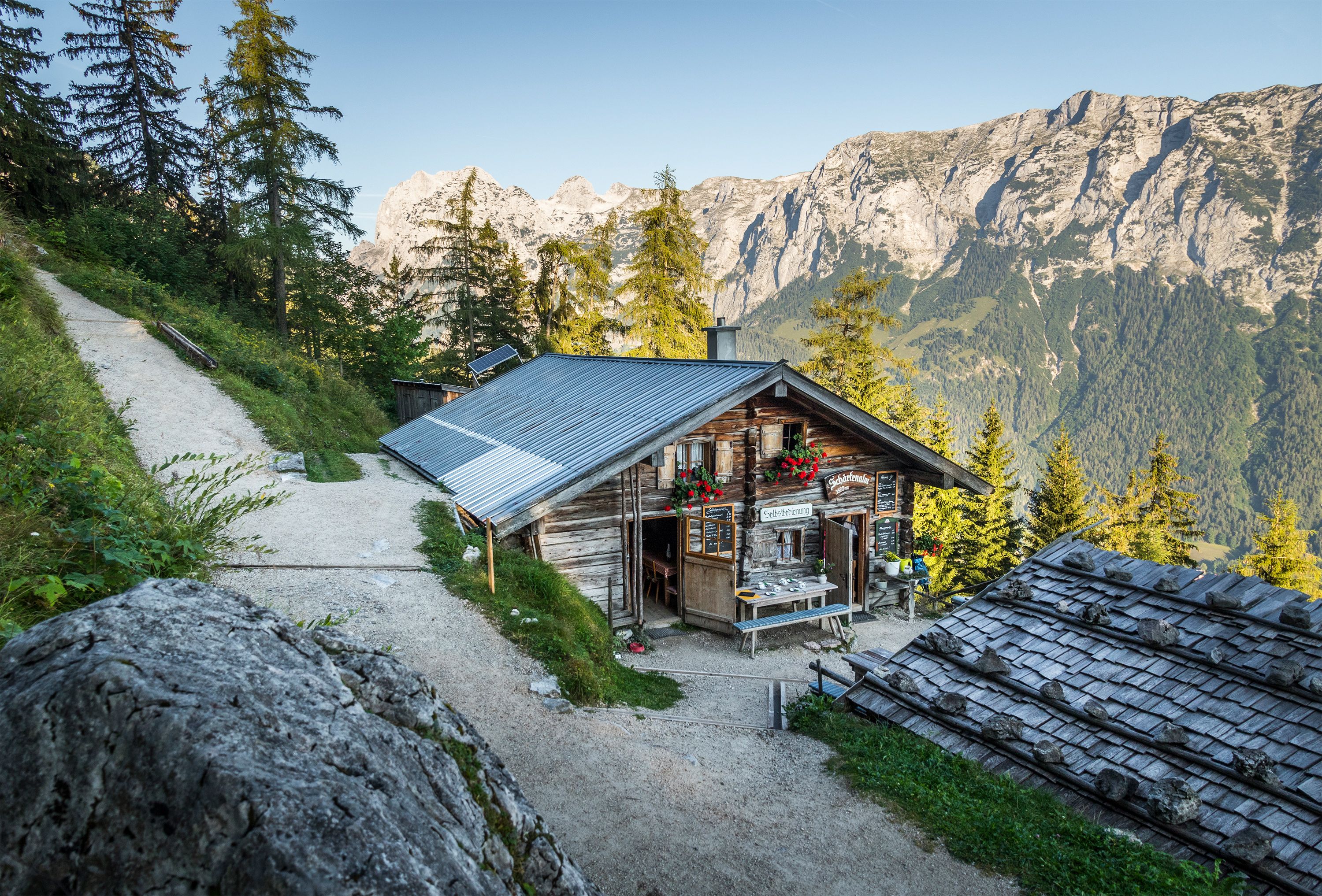
  • Ascent via Schärtenalm
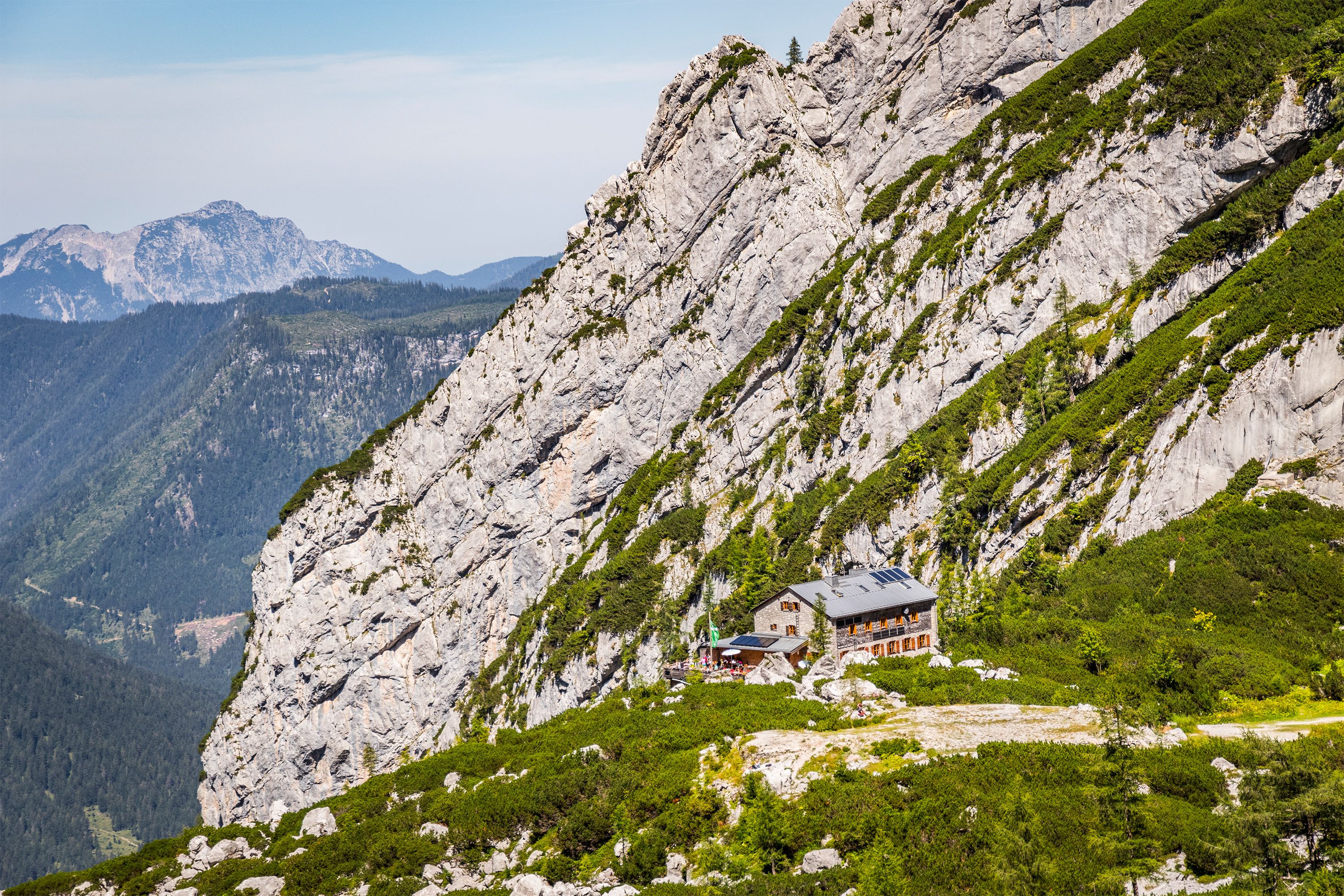
  • The Blaueishütte
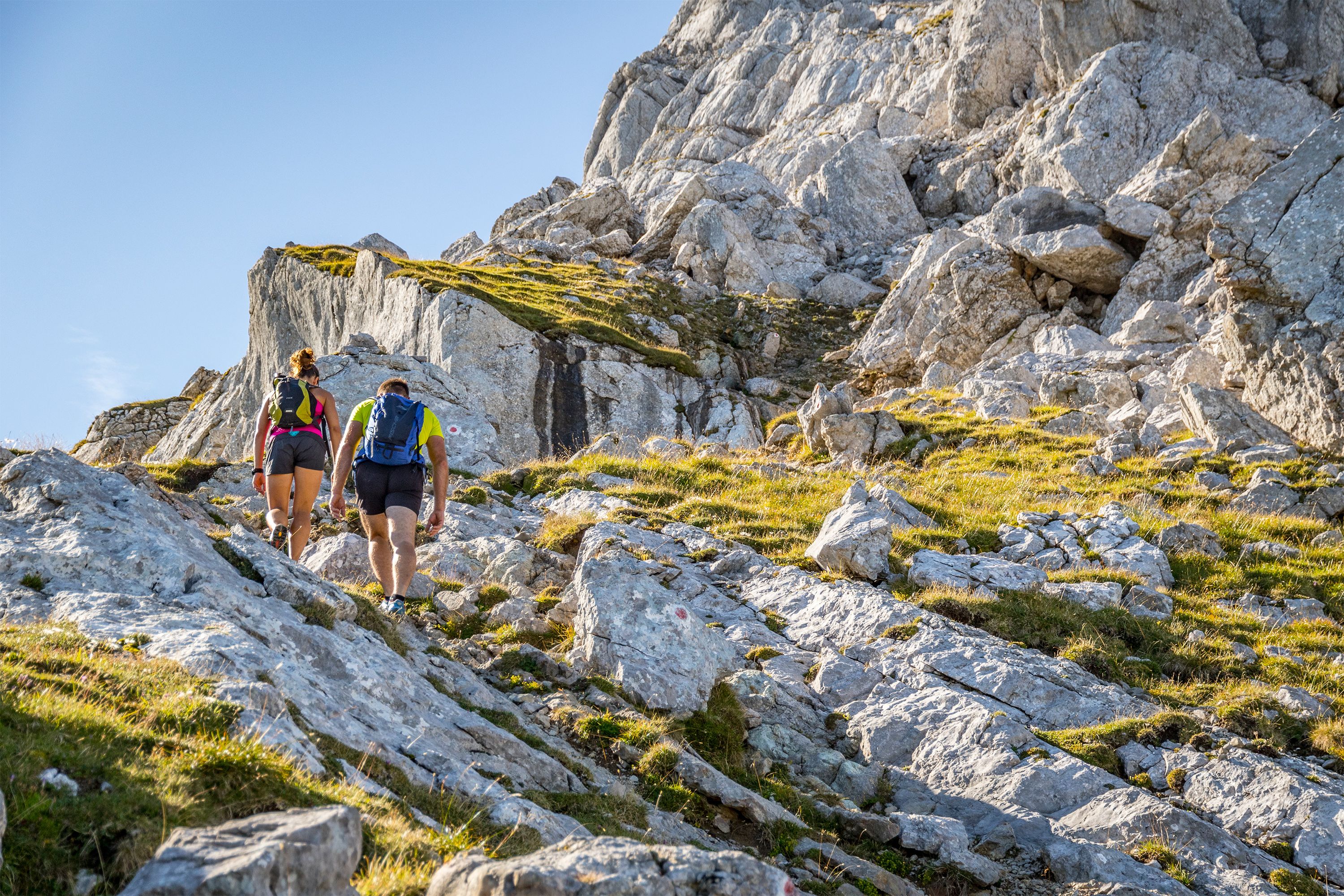
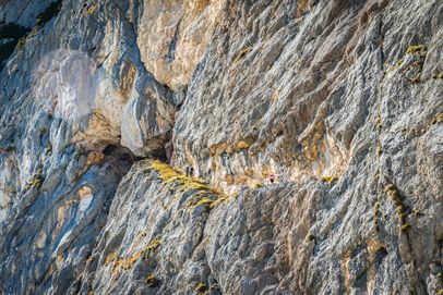
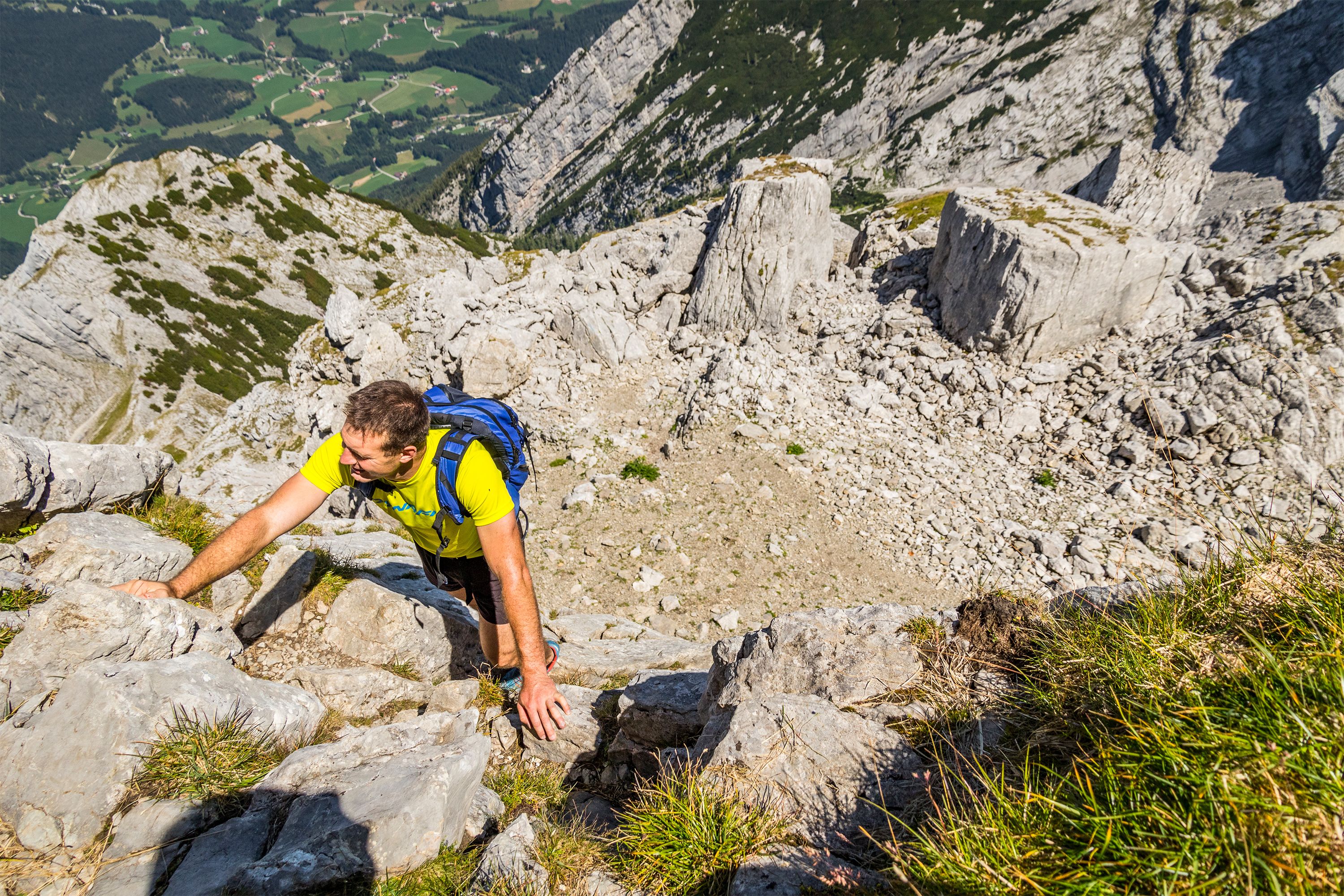
  • Climbing section on the ascent to the Hochkalter
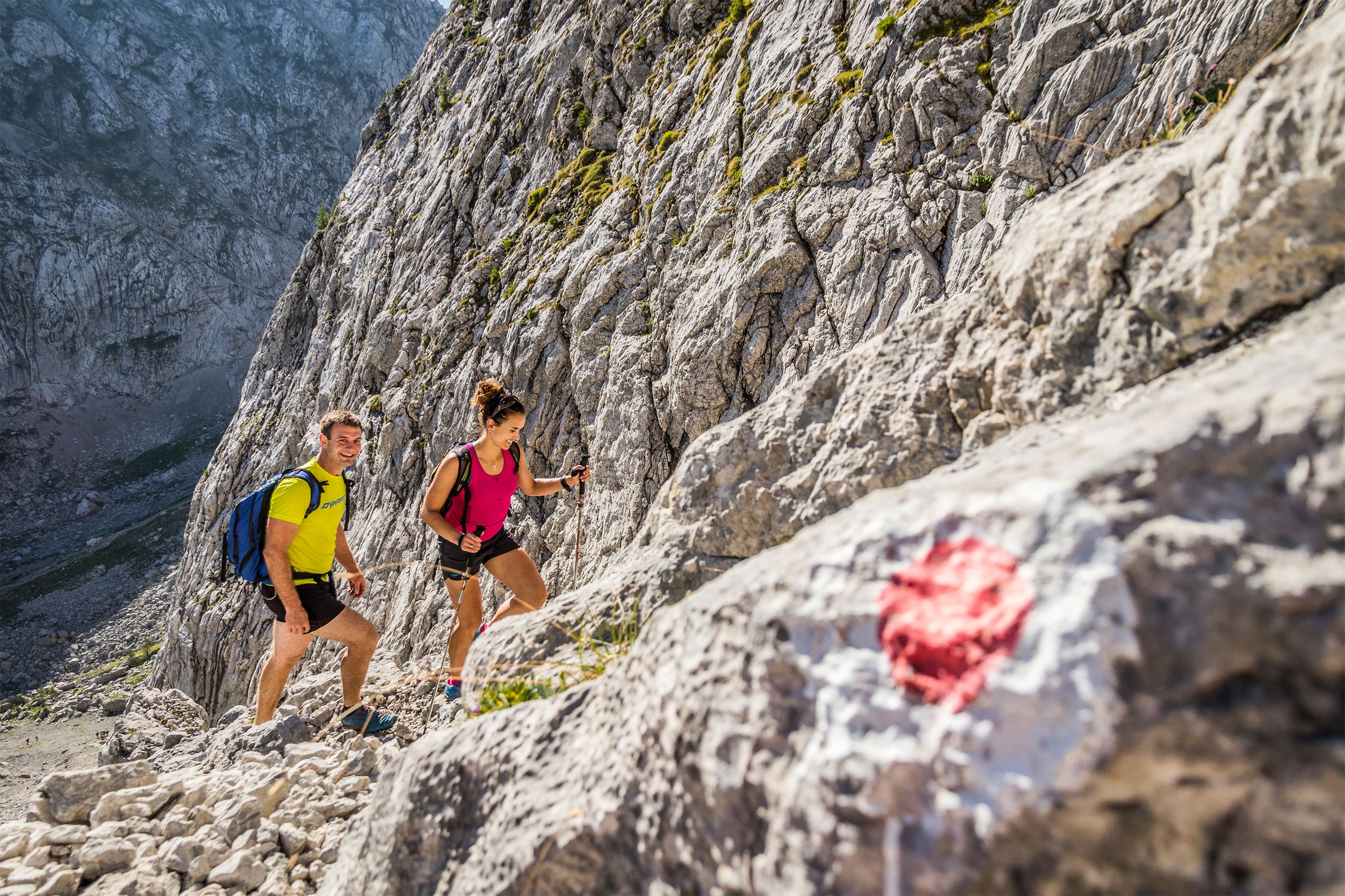
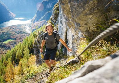
  • Stunning scenery on the ascent to the Hochkalter
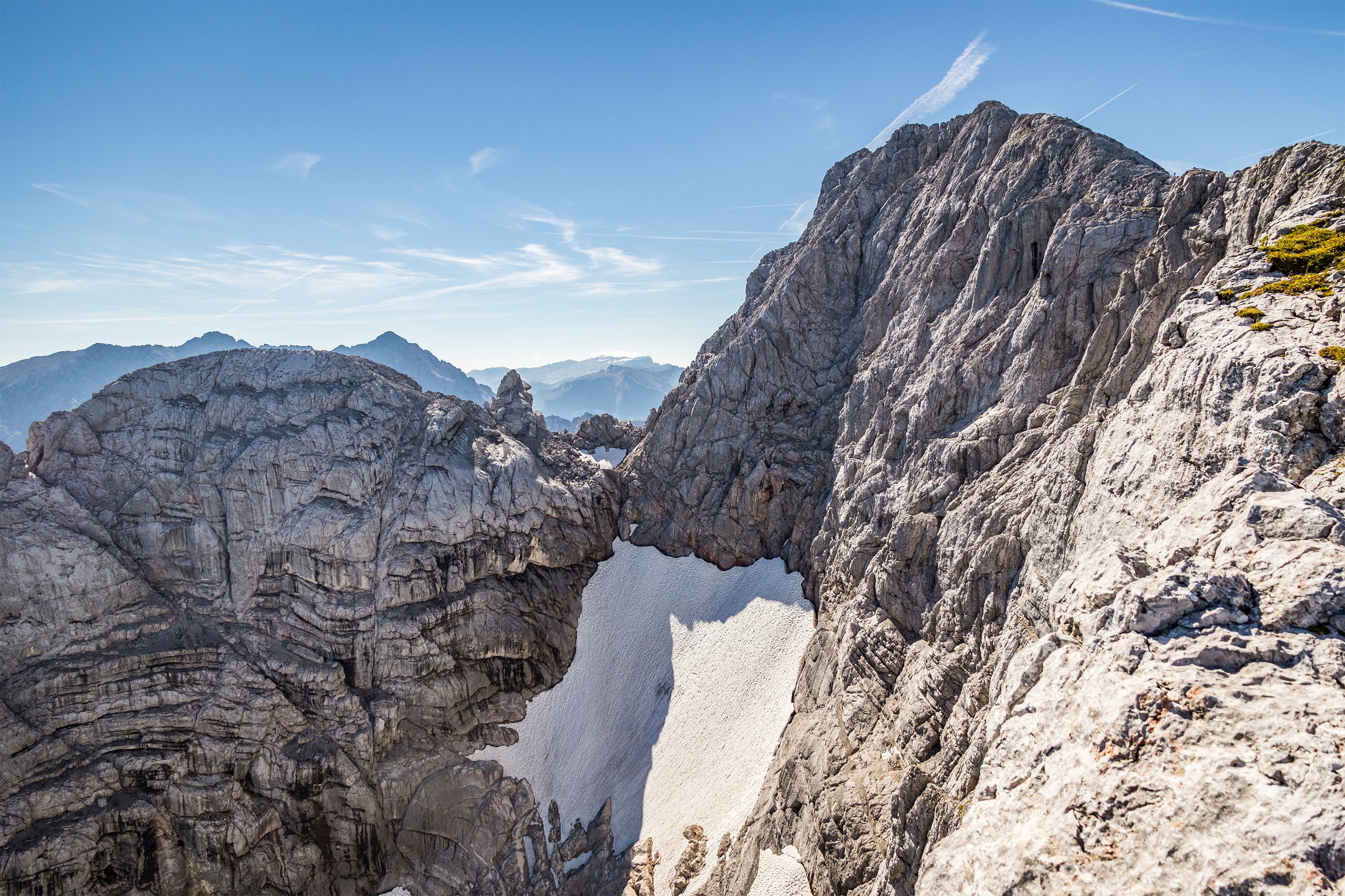
  • The Remnants of the Blaueis Glacier
  • Further ascent over walking terrain
  • Alpine Hiking on the Hochkalter
  • Kleinkalter Ridge
  • Hochkalter Peak, 2,607 m
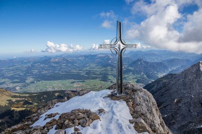
  • Hochkalter Summit Cross, 2,607 m

Directions

From Lake Hintersee, follow the well-known ascent past Schärtenalm to Blaueishütte. From here, continue uphill to the remains of the old hut. Just beyond them, keep right and climb through a scree gully below the distinctive notch known as “Schöner Fleck.” Approach it from the right, climbing over solid slabs interspersed with mountain pines (UIAA grade I–II). Keep left, then climb along the right side of the ridge through blocky terrain to a 15-meter-high slabby rock face. Good handholds help you negotiate this crux section (UIAA grade II) and reach easier terrain on the summit slopes of Rotpalfen. Bypass Rotpalfen along a manageable ridge, crossing Kleinkalter before descending into a notch. From here, the terrain steepens once again, with short, exposed climbing sections leading to the summit of Hochkalter.

From the summit, descend through steep rocky terrain into Ofental and follow the valley down to the tree line. From here, a broad trail leads through the forest back down to Lake Hintersee.

Alpine Information Service

You’ll want to clear up a few things before you set off on your tour – like the current weather conditions, trail quality, or places to stop for a bite to eat.

Find the answers at the Alpine Information Service: several alpine advisors are available Monday through Friday from 4 to 6 PM, taking the time to personally answer your questions.

  • Hiking Trip to the Schärtenspitze
    Bergerlebnis Berchtesgaden

    Schärtenspitze

    Ramsau
    • 9:00 h
    • 13,6 km
    • 1420 hm
    • Mountain Hike
    • Mountaineering
  • Carved into the rock: The Thomas Eder Trail on the Untersberg
    Bergerlebnis Berchtesgaden

    Thomas-Eder-Steig

    Marktschellenberg
      • Mountain Hike
      • Mountaineering
    • On the Watzmann Ridge
      Bergerlebnis Berchtesgaden

      The Watzmann traverse

      Ramsau
      • 14:00 h
      • 23,2 km
      • 2022 hm
      • Mountain Hike
      • Mountaineering
    • The Rinnkendlsteig Trail from Königssee to Kühroint

      Rinnkendlsteig

      Schönau a. Königssee
      • 6:00 h
      • 11,0 km
      • 815 hm
      • Mountain Hike
      • Mountaineering
    • Hoher Göll Summit Cross
      Bergerlebnis Berchtesgaden

      The Göll-Brett traverse

      • 8:00 h
      • 10,2 km
      • 887 hm
      • Mountain Hike
      • Mountaineering