

Municipality of Anger
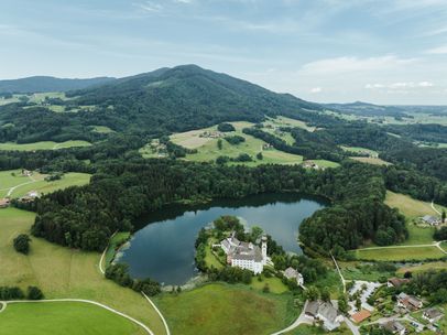
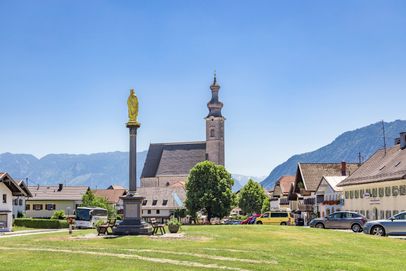
Culture • tradition • historyIn Anger, you’ll find scenic hiking trails, fresh air, and genuine Bavarian hospitality. The municipality lies between the Högl ridge and Stoißberg, an outlier of the Hochstaufen massif. From around 470 meters above sea level in the Jechling district, Anger rises to 827 meters at Högl—and up to its highest point, the Teisenberg “Schneid” at 1,333 meters. The Stoißer Ache stream flows through the village.
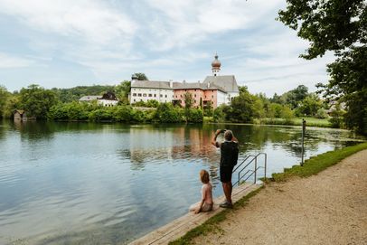
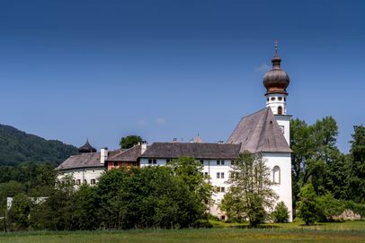
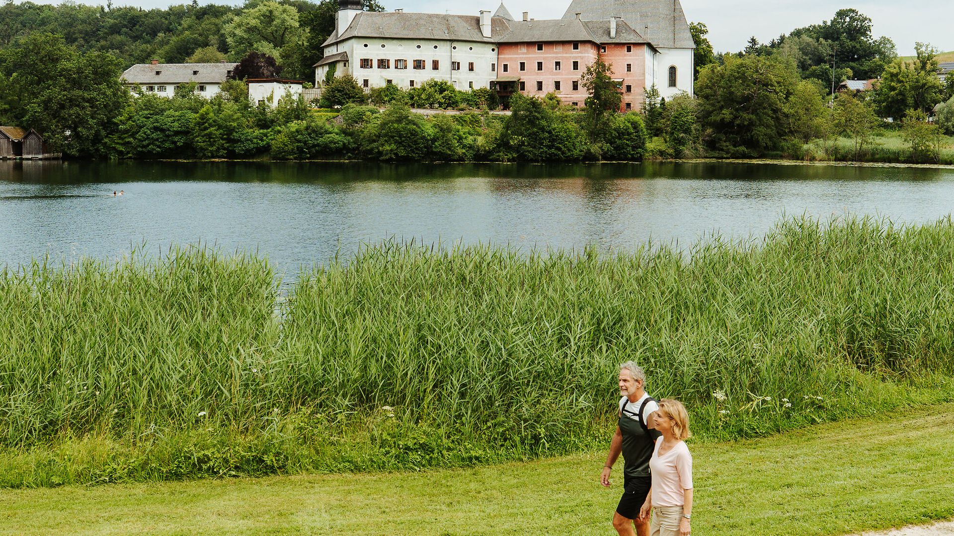
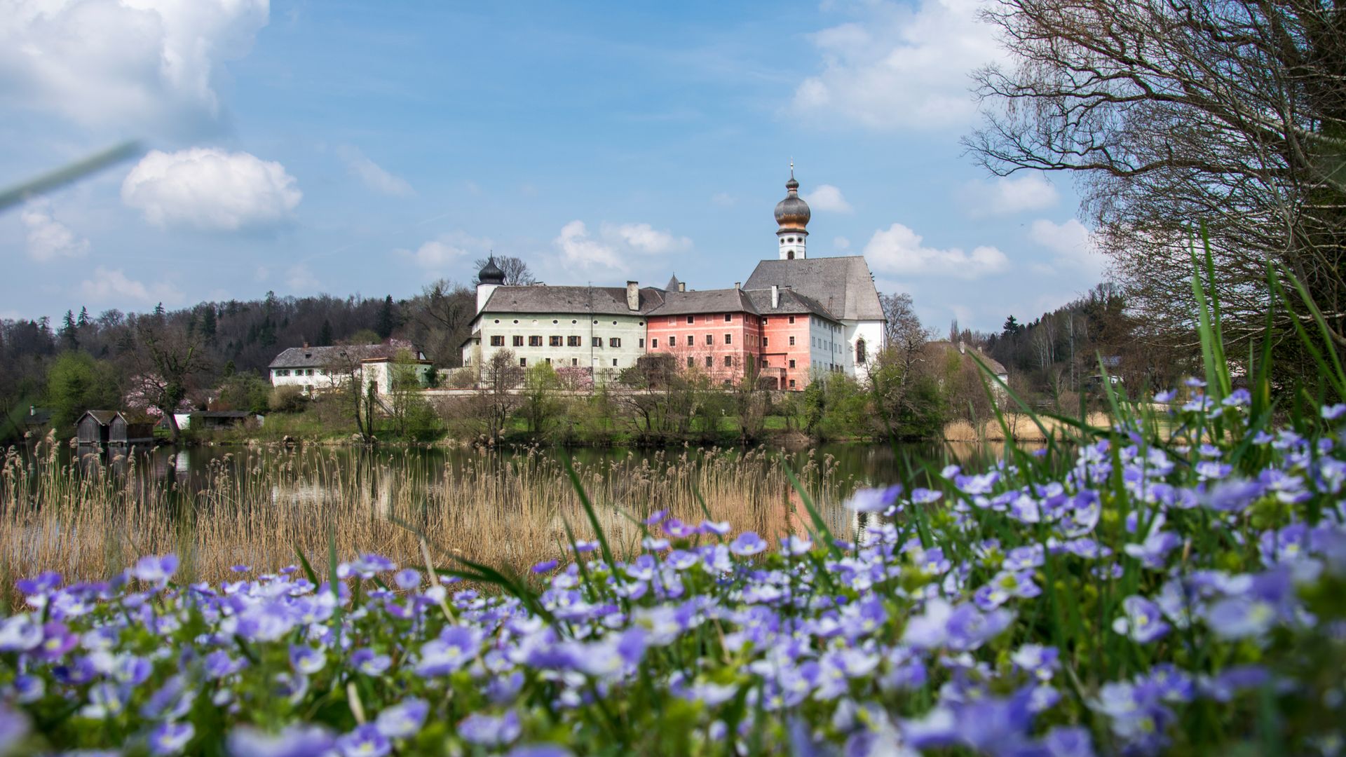
In the northeast of Anger, you can unwind by the idyllic Lake Höglwörth, home to a former Augustinian monastery. The exhibitions at Hans-Peter Porsche Traumwerk invite you to dream. And the mighty Berchtesgaden Alps, with the iconic Watzmann, as well as the city of Salzburg, are all within easy reach.
Even King Ludwig I of Bavaria once called Anger “his most beautiful village in the kingdom.” Come see for yourself—it still holds true today.