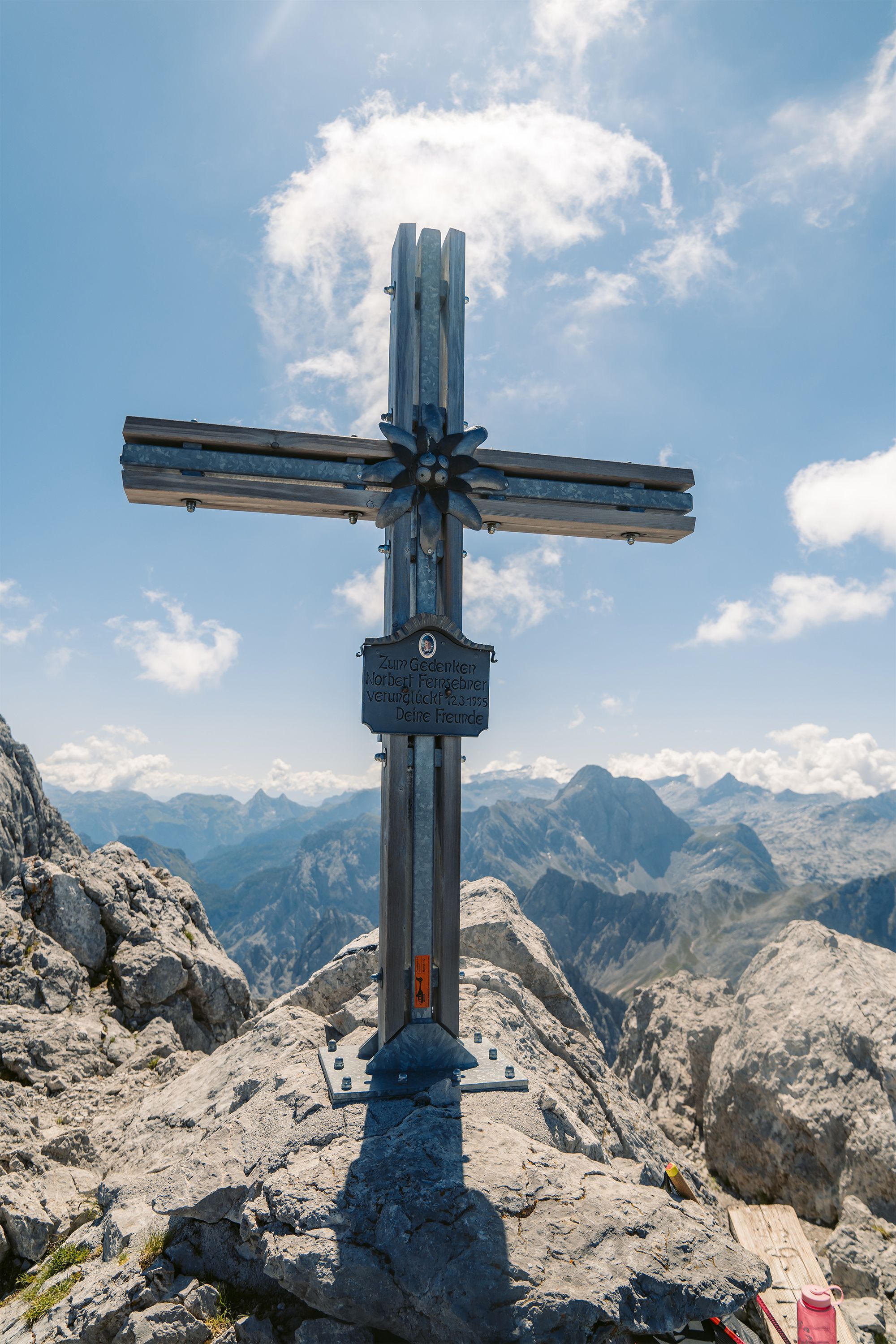



Kammerlinghorn, 2,484 meters
Spectacular alpine hike in Berchtesgaden National Park- Mountain Hike
- Mountaineering
- 10:00 h
- 20,8 km
- 1542 hm
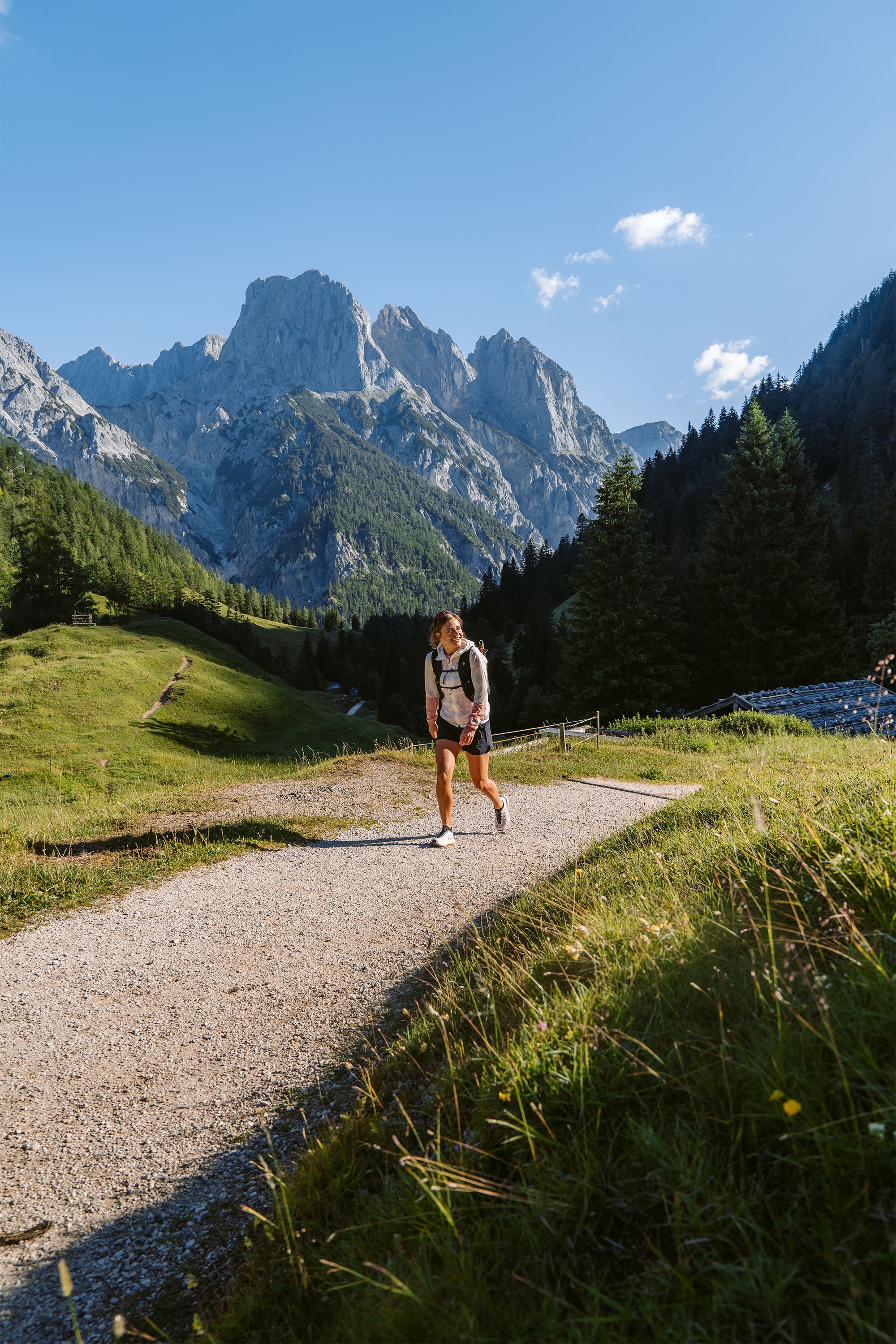
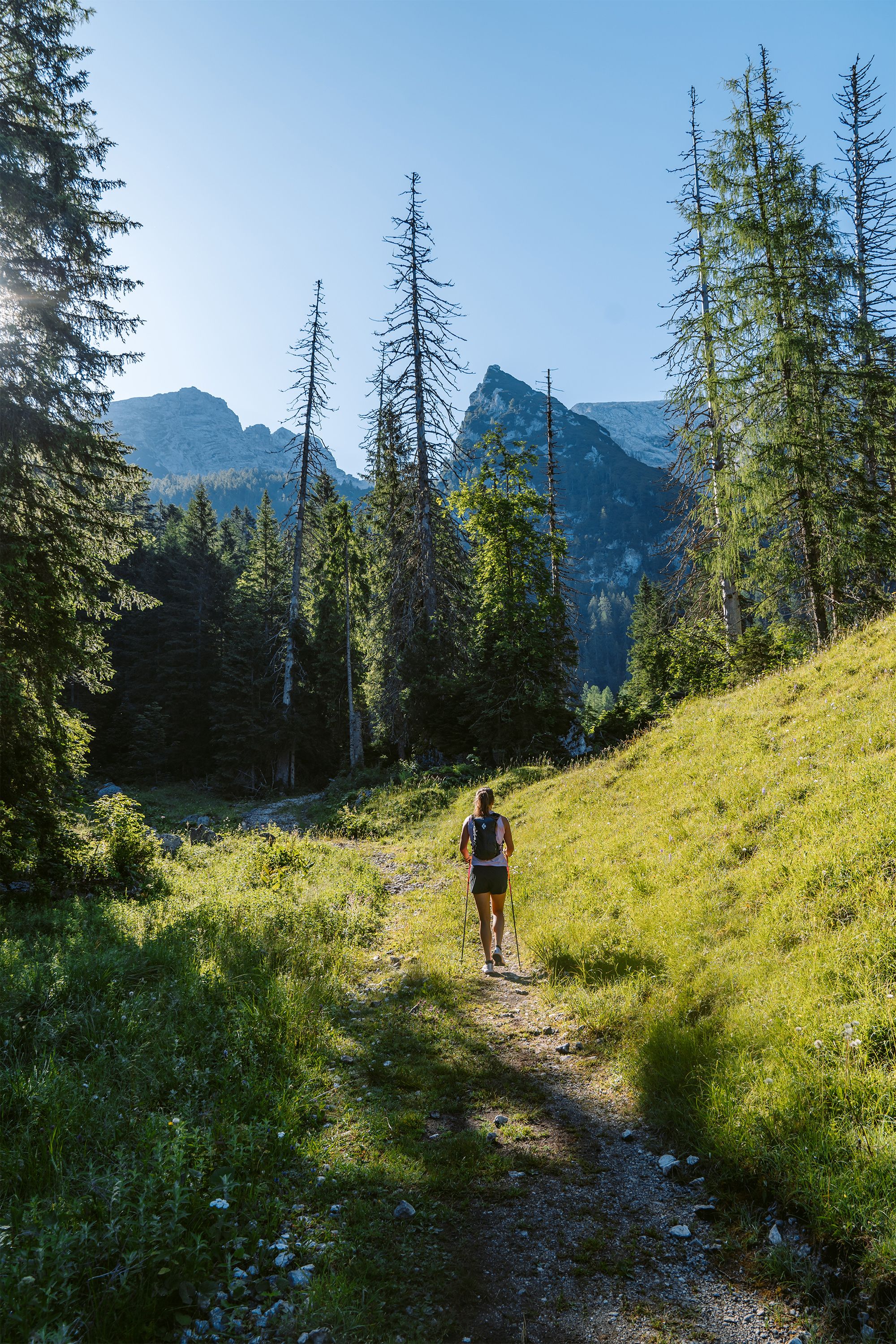
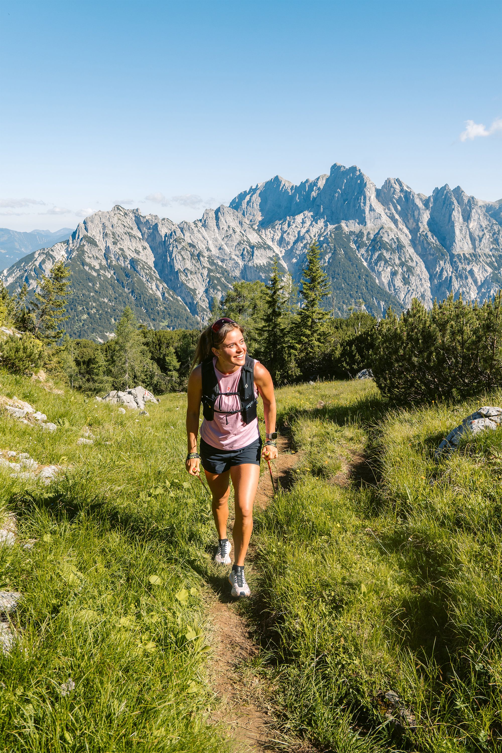
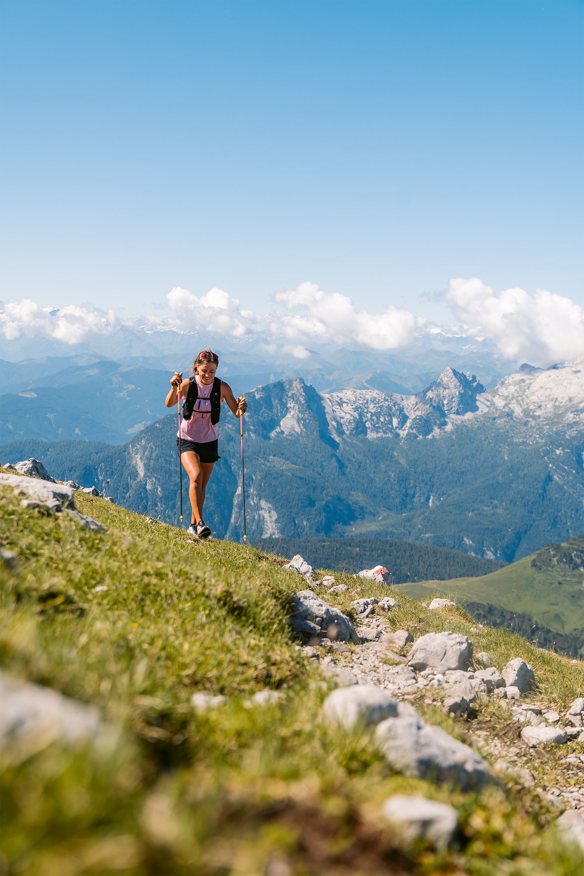
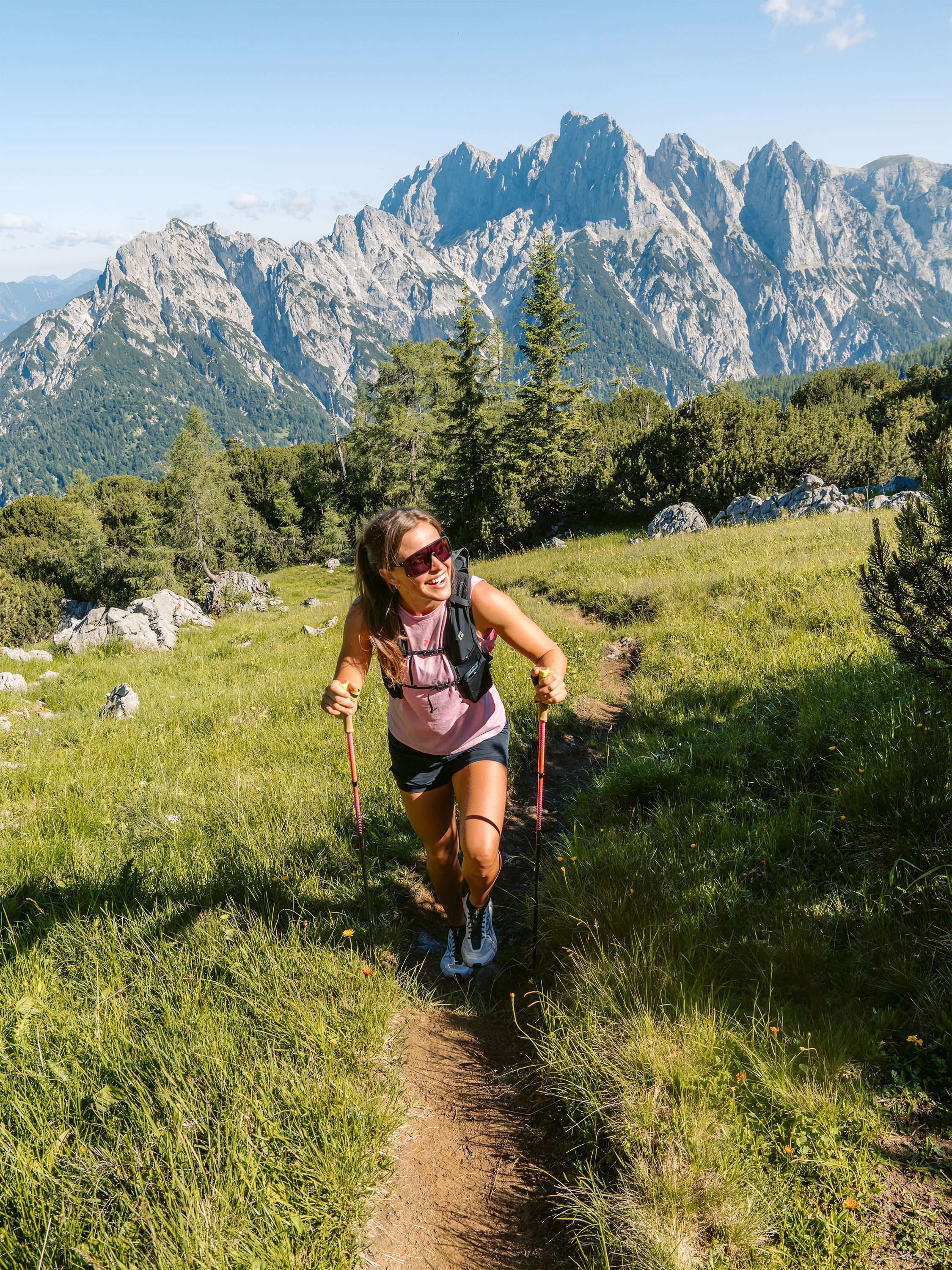
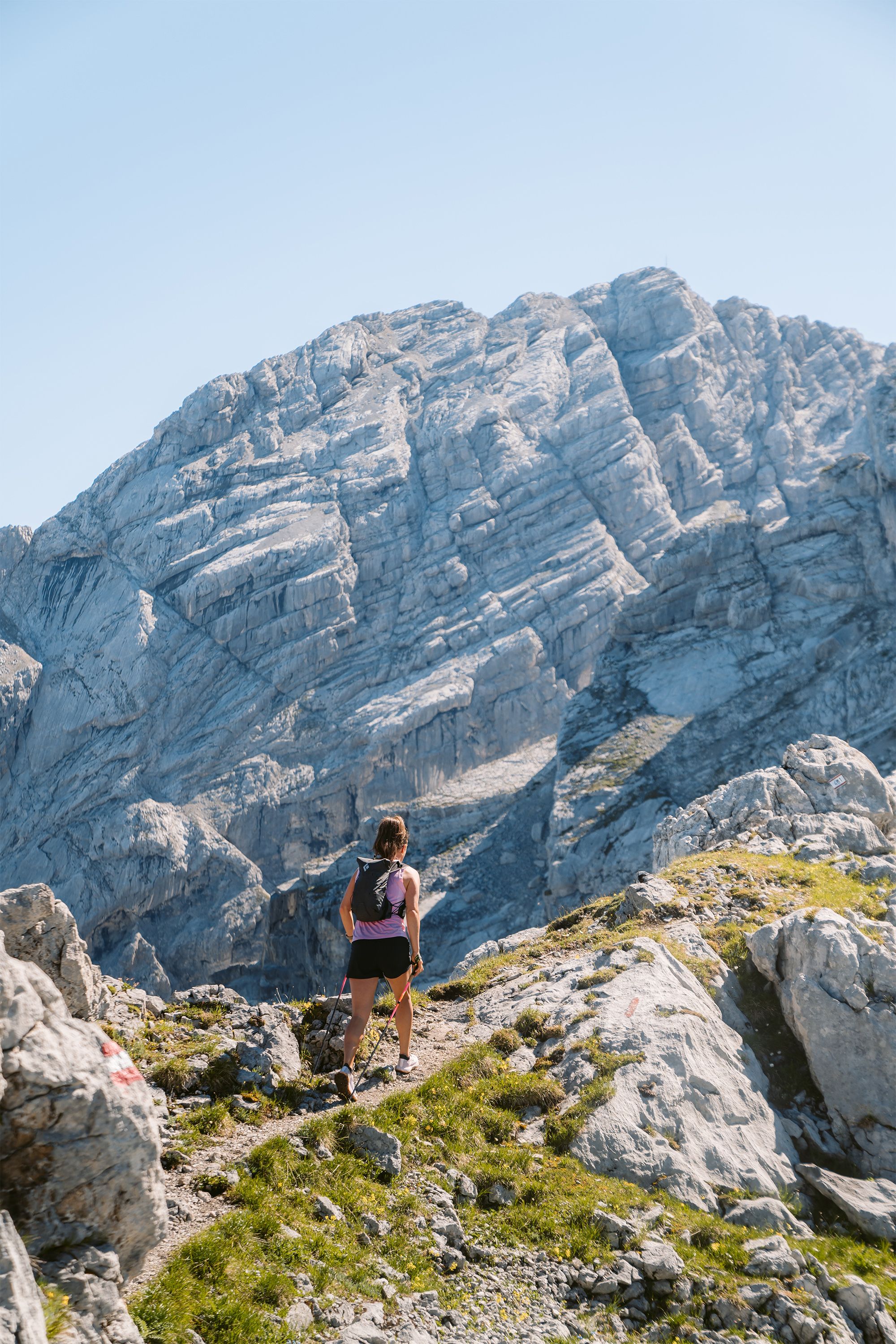
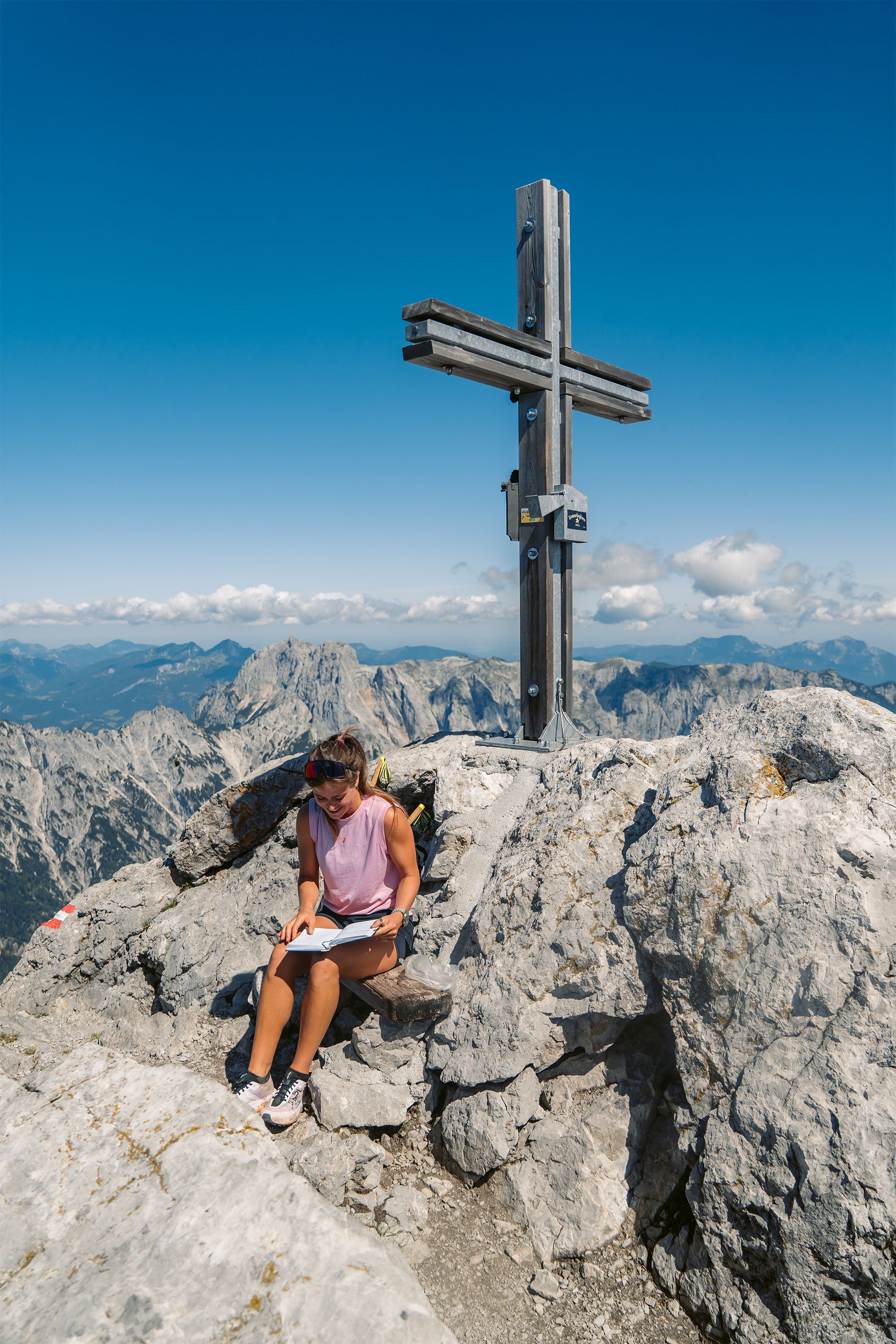
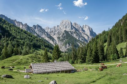
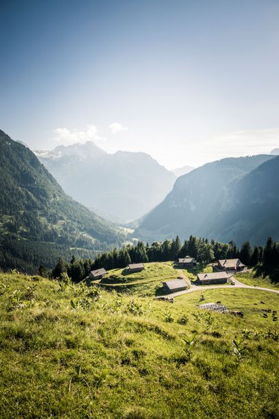
Kammerlinghorn is one of the few peaks in the entire Hochkalter region—apart from the routes around Blaueishütte—that can be reached via a marked hiking trail. In the Hocheis area, it is the only summit accessible by an official trail. The alpine hike from Hintersee via Bindalm or Hirschbichl to Kammerlinghorn is long and challenging, but rewards you with spectacular and varied scenery. Along the way, you’ll climb more than 1,400 vertical meters and pass through several different vegetation zones of Berchtesgaden National Park.
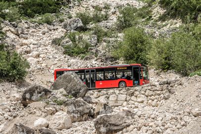
The ridge extending from the summit of Kammerlinghorn connects Hochkammerlinghorn, Hocheisspitze, Hinterberghorn, and Hocheishörnl, forming the mountain rim around the Hocheis area. The starting point for the alpine hike to Kammerlinghorn is Bindalm, just before the Hirschbichl border crossing. From Hintersee in the mountaineering village of Ramsau, the ALMErlebnisBUS takes you to Bindalm in just a few minutes. Alternatively, you can cover the distance by mountain bike or hike through Klausbachtal. Either way, be sure to allow enough time to reach the starting point of the alpine hike. If you hike the entire route from Hintersee, it makes for an exceptionally long day.