Scheffau - Lärcheckwand - Obersalzberg Documentation Center

Berchtesgaden High-Altitude Trail: Stage 6
  • Mountain Hike
  • Mountaineering
  • 7:05 h
  • 15,2 km
  • 966 hm

Stage 6 takes you via Anfangmühle into Scheffau, then continues via Lärcheckwand to Oberau and along part of the Stollenweg to the Obersalzberg Documentation Center.

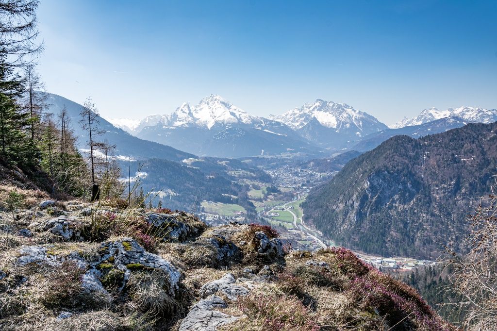
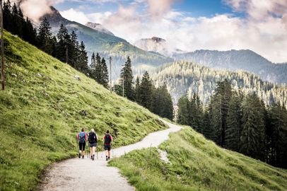
From the Almbachklamm bus stop, turn onto the Anfangmühlweg and follow the forest trail to Gasthof Oberstein. The Lärchecker Wand rises up ahead of you. You’ll circle around it and reach its viewpoint. From here, you’ll look out over Watzmann, Hochkalter, Reiter Alm, and Untersberg. Then you’ll descend to Oberau and hike through the forest on the other side to the Resten. From there, hike toward Obersalzberg down to the Larosbach creek. After crossing it, climb up to the two tunnels on the Stollenweg. A flashlight is very useful here. Above the golf course, continue hiking to the Obersalzberg Documentation Center.
Route details

  • Difficulty
    intermediate
  • Start point

    Almbachklamm gorge bus stop

  • Destination

    Obersalzberg Documentation Center bus stop

    Duration7:05 h
    Distance15,2 km
    Ascent966 hm
    Descent516 hm

    Fitness level4/6
    Difficulty2/6
    Landscape6/6
    Experience6/6

J F M A M J J A S O N D

Directions

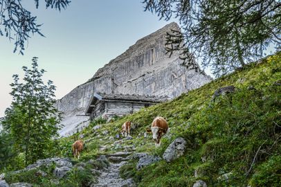
Your stage begins at the Almbachklamm bus stop. Follow the main road for a short distance, then turn toward Auffangmühle and follow the signs for Scheffau and Oberstein. The forest trail climbs steadily uphill, passing mountain farms and meadows. Before long, Lärchecker Wand comes into view. Follow the signs for Lärchecker Wand until the trail branches off toward the viewpoint. Once at the top, enjoy beautiful views of Watzmann, Hochkalter, Reiter Alm, and Untersberg.

Return to the forest trail and keep right toward Oberau. Pass the church and walk through the village. From there, the trail continues above Oberau toward Obersalzberg, leading through the forest to Resten. Cross Obersalzbergstraße and immediately head downhill to the right, passing a few scattered farms until you reach the creek. The trail then winds uphill again and takes you through two tunnels along the Stollenweg. A flashlight is recommended here, as the first tunnel is quite long and dark.

At the exit of the second tunnel, immediately turn left and follow the sign uphill toward Obersalzberg. Cross the meadow and continue onto the road, which ends above at the golf course. Walk past the golf course and Hotel zum Türken to reach the Obersalzberg Documentation Center. This is where Stage 6 ends.
  • Thomas Kujat

    Obersalzberg - Jennerbahn mid-station - Königssee parking lot

    • 8:00 h
    • 16,4 km
    • 928 hm
    • Mountain Hike
    • Mountaineering
  • Sepp Wurm

    Königssee - Kühroint - Falzsteig - Wimbachbrücke

    • 8:00 h
    • 16,8 km
    • 1153 hm
    • Mountain Hike
    • Mountaineering
  • Tourenportal Berchtesgadener Land

    Wimbachbrücke - Schattseitweg - Hintersee

    • 7:00 h
    • 14,6 km
    • 927 hm
    • Mountain Hike
    • Mountaineering
  • Sepp Wurm

    Hintersee - Mordaualm - Bischofswiesen

    • 8:00 h
    • 19,0 km
    • 841 hm
    • Mountain Hike
    • Mountaineering
  • Thomas Kujat

    Bischofswiesen - Scheibenkaser - Kugelmühle

    • 8:50 h
    • 17,0 km
    • 1033 hm
    • Mountain Hike
    • Mountaineering