Königssee - Kühroint - Falzsteig - Wimbachbrücke

Berchtesgaden High-Altitude Trail: Stage 2
  • Mountain Hike
  • Mountaineering
  • 8:00 h
  • 16,8 km
  • 1153 hm

Stage 2 takes you from Lake Königssee past the bobsled and luge track up to Grünstein, then on to Kühroint and via the Falzsteig to Mitterkaseralm and Stubenalm before descending to Wimbachbrücke.

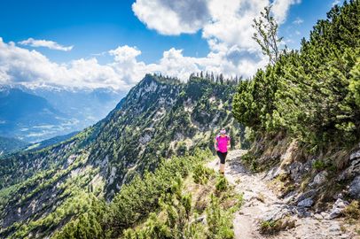
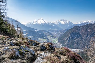
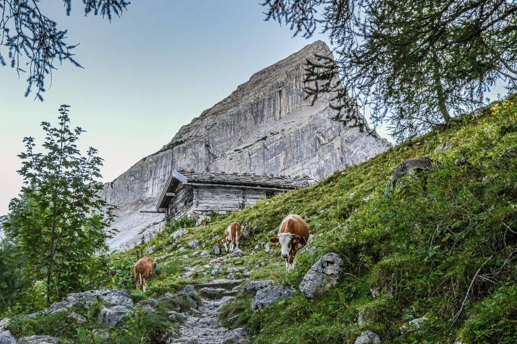
From Lake Königssee, climb toward Grünstein. Please note: The turnoff is 50 meters after the entrance to the via ferrata. From there, the trail winds steeply uphill before you continue toward Kühroint. Climbing steadily on a forest road, you’ll reach Kührointhütte with the impressive Watzmann massif always in view. The small chapel in front of the hut was built in memory of mountaineers who lost their lives in the mountains. A detour to Achenkanzel is well worth it for the spectacular view over Lake Königssee.
Route details

  • Difficulty
    intermediate
  • Start point

    Königssee

  • Destination

    Wimbachbrücke parking lot

    Duration8:00 h
    Distance16,8 km
    Ascent1153 hm
    Descent1129 hm

    Fitness level4/6
    Difficulty2/6
    Landscape6/6
    Experience6/6

J F M A M J J A S O N D

Sure-footedness and a head for heights

Directions

Stage 2 of the Berchtesgaden High-Altitude Trail starts at the Königssee bus stop. From here, walk toward the lakefront, keep right, and follow the signs toward the bobsled and luge track and Grünstein. Cross the Triftsteg bridge, then keep left and follow the lakeshore toward the bobsled and luge track. Walk uphill through the grounds of the track and follow the Klingerweg toward Grünstein. Pass the entrance to the via ferrata and, after another 50 meters, you’ll reach the turnoff for Grünstein. From here, the trail winds steeply uphill. Once you reach the forest road, keep left toward Kühroint. If you like, you can make a detour to the panoramic summit of Grünstein. From the top, enjoy magnificent views of Schönau, the Göll massif, and far into SalzburgerLand.

Continue climbing steadily toward Kührointhütte until you reach the forest road. Keep left here and follow the road to Kührointhütte, with impressive views of the entire Watzmann massif along the way. If you like, make another detour to Achenkanzel. From there, you’ll enjoy fantastic views of Lake Königssee, St. Bartholomä, Lake Obersee, and Saletalm.

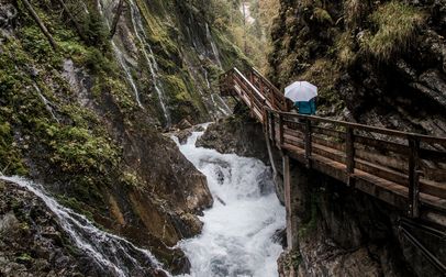
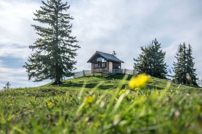
From Kühroint, head southwest through the turnstile, pass the small chapel dedicated to mountaineers who lost their lives in the mountains, and follow the signs toward Watzmannhaus via the Falzsteig. Climb the Falzsteig, which is secured with cables in places, until you reach Falzalm, an unstaffed alpine pasture hut. Keep right and continue past Falzalm, descending to Mitterkaseralm and then farther downhill to Stubenalm. Pass Stubenalm on your right and follow the hiking trail down into the valley to Wimbachbrücke.

This is where Stage 2 ends.

  • Thomas Kujat

    Obersalzberg - Jennerbahn mid-station - Königssee parking lot

    • 8:00 h
    • 16,4 km
    • 928 hm
    • Mountain Hike
    • Mountaineering
  • Tourenportal Berchtesgadener Land

    Wimbachbrücke - Schattseitweg - Hintersee

    • 7:00 h
    • 14,6 km
    • 927 hm
    • Mountain Hike
    • Mountaineering
  • Sepp Wurm

    Hintersee - Mordaualm - Bischofswiesen

    • 8:00 h
    • 19,0 km
    • 841 hm
    • Mountain Hike
    • Mountaineering
  • Thomas Kujat

    Bischofswiesen - Scheibenkaser - Kugelmühle

    • 8:50 h
    • 17,0 km
    • 1033 hm
    • Mountain Hike
    • Mountaineering
  • View from the Lärchecker Wand across the Berchtesgaden Valley
    Bergerlebnis Berchtesgaden

    Scheffau - Lärcheckwand - Obersalzberg Documentation Center

    • 7:05 h
    • 15,2 km
    • 966 hm
    • Mountain Hike
    • Mountaineering