

Königsbergalm
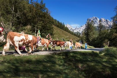
High alpine pasture between Lake Königssee and Mount Jenner- am Jenner
- 1650m
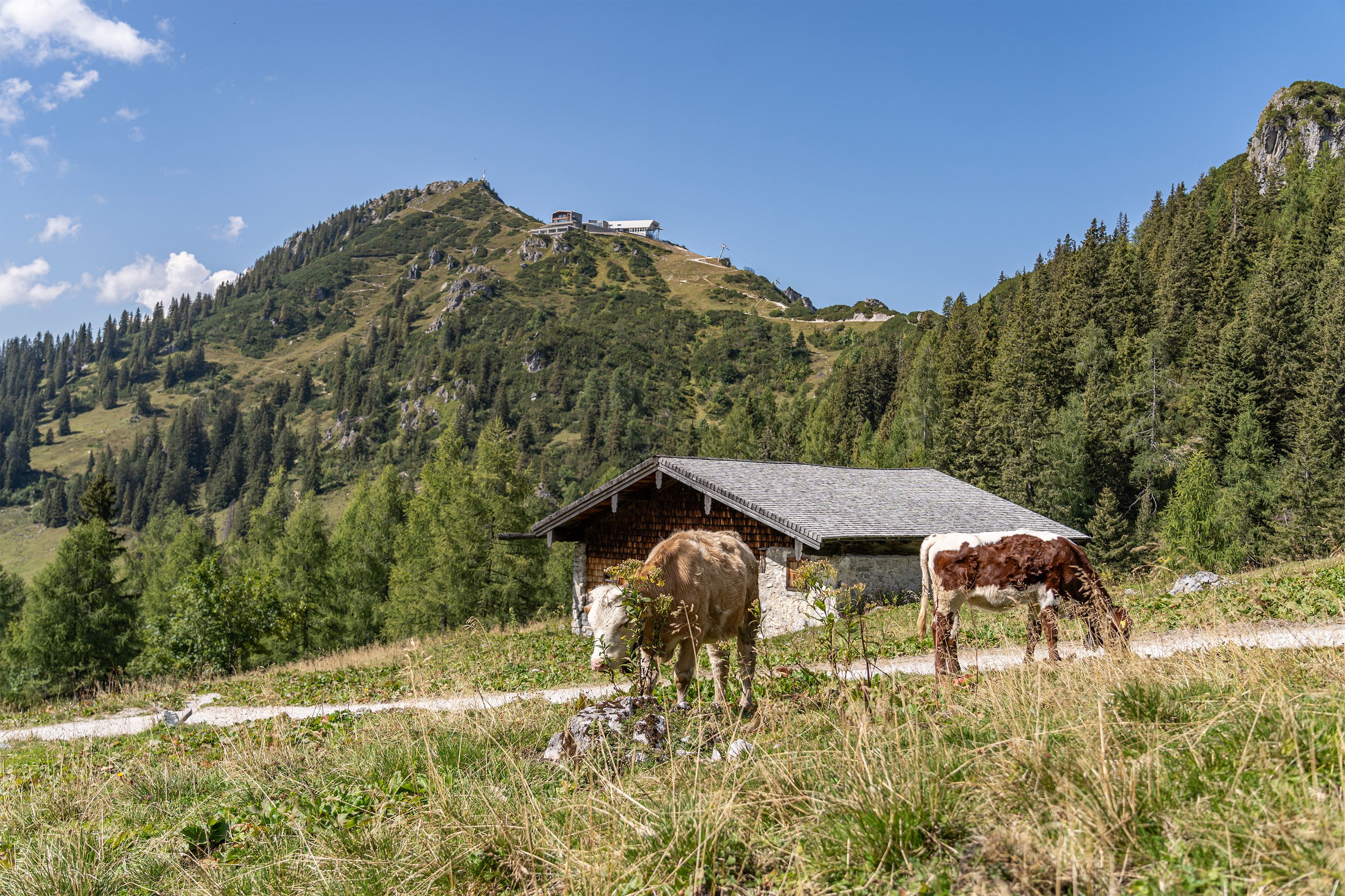
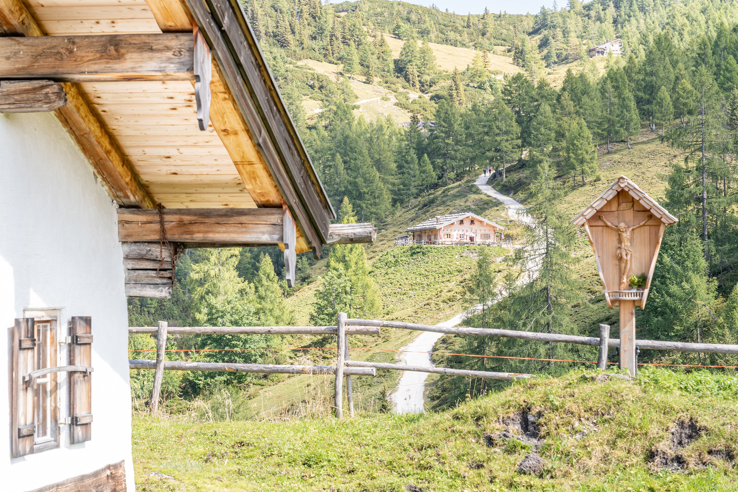
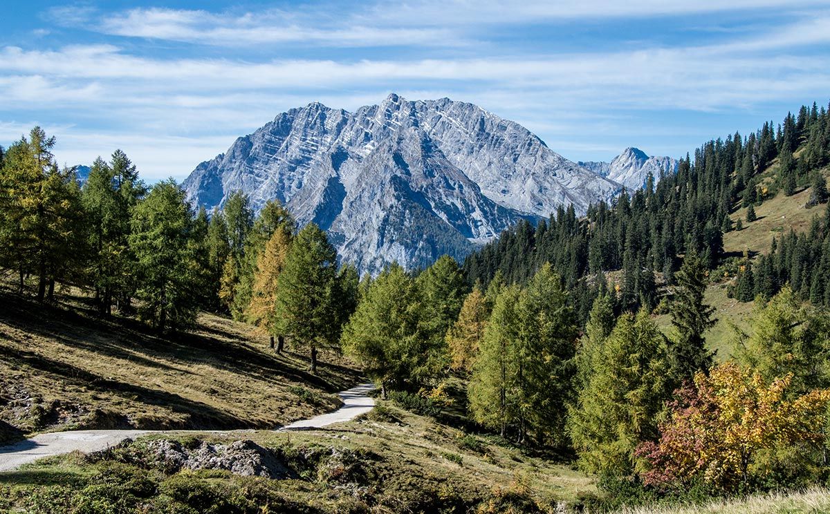
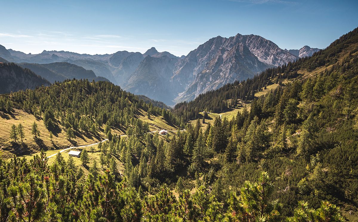
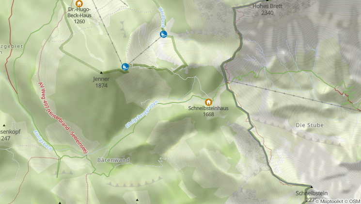
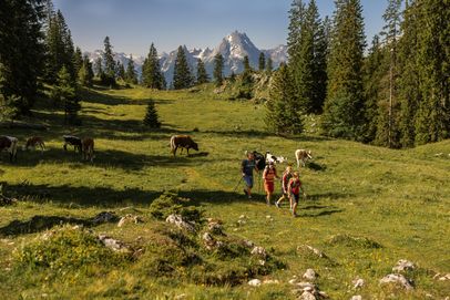
Located just below Schneibsteinhaus, Königsbergalm stretches across the wide alpine slopes of Jenner.
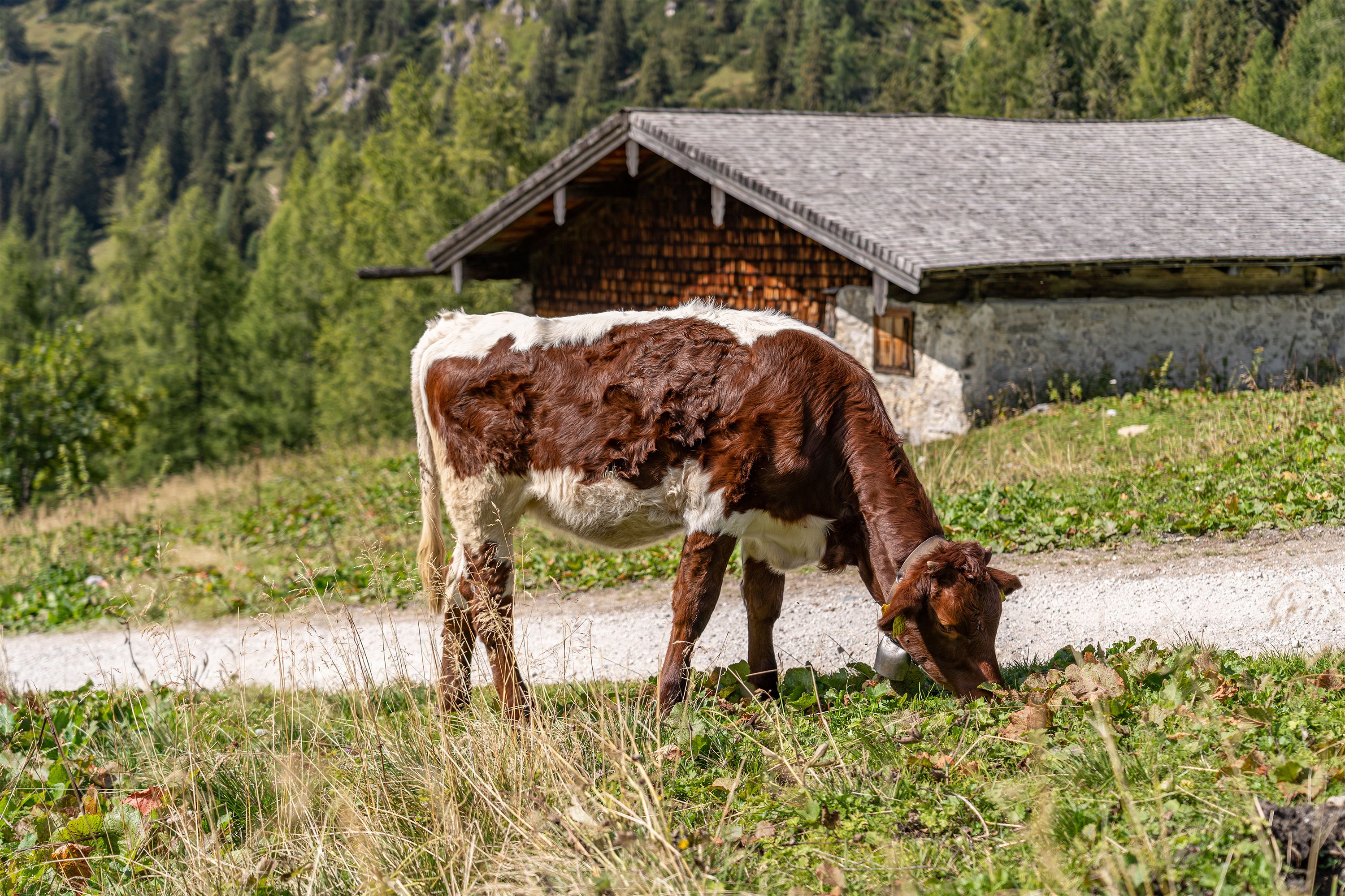
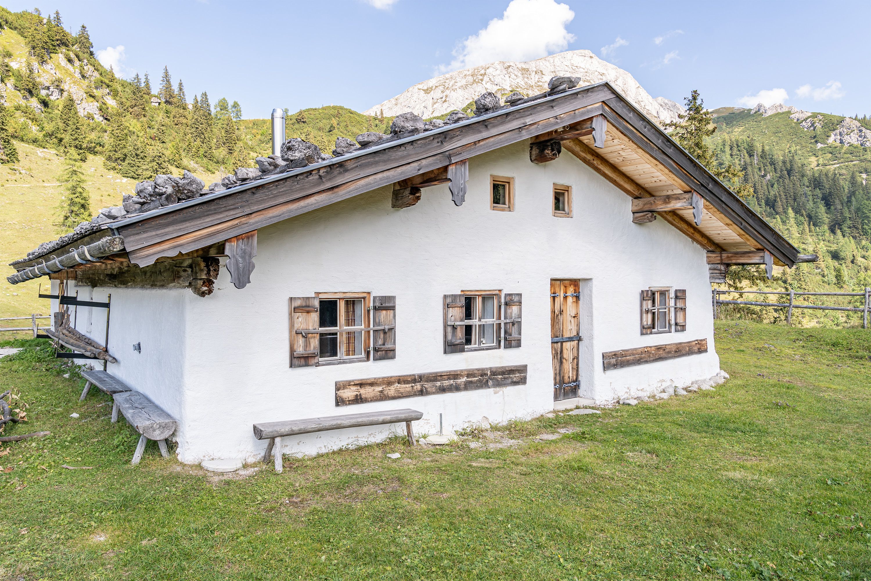
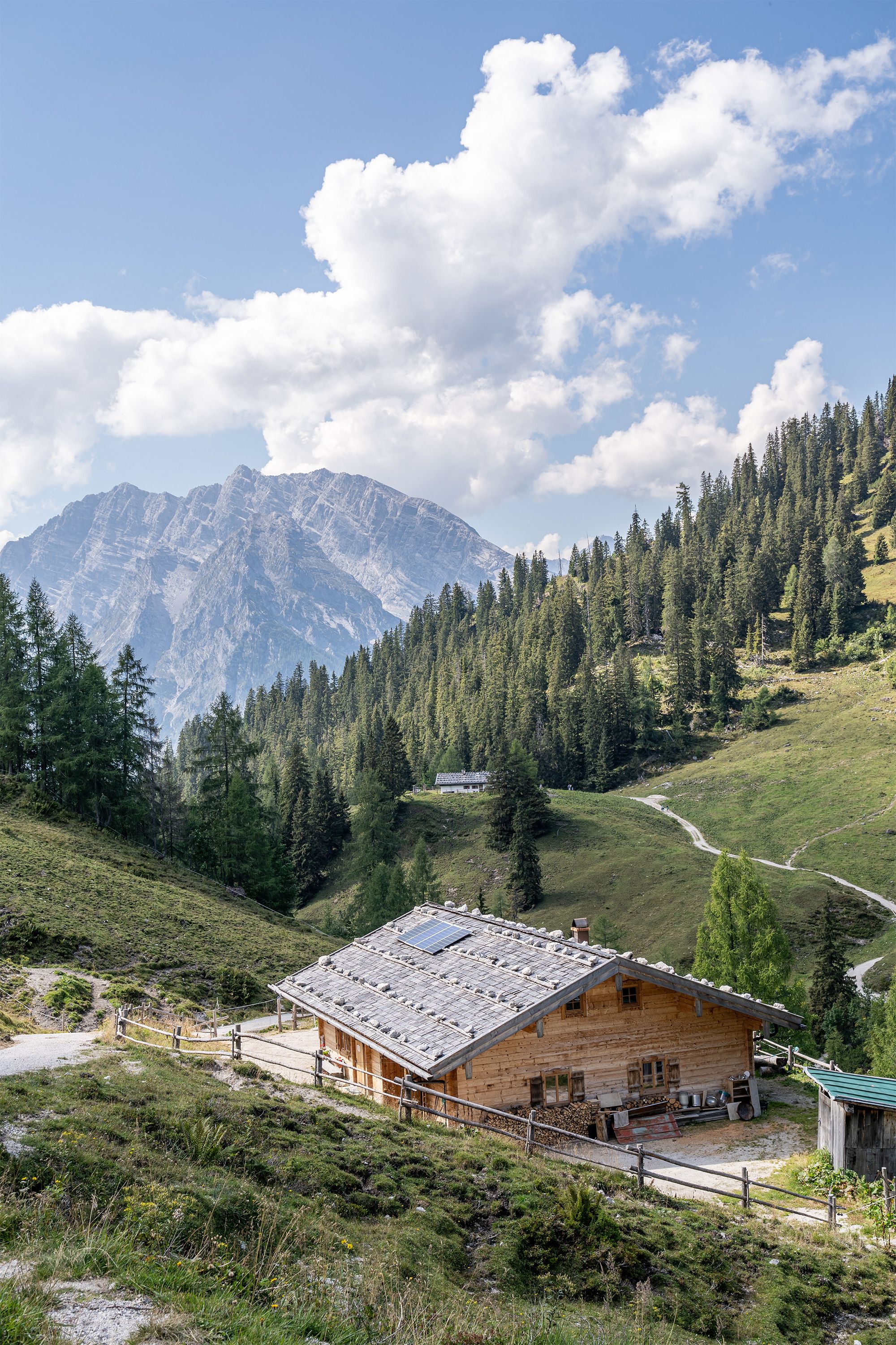
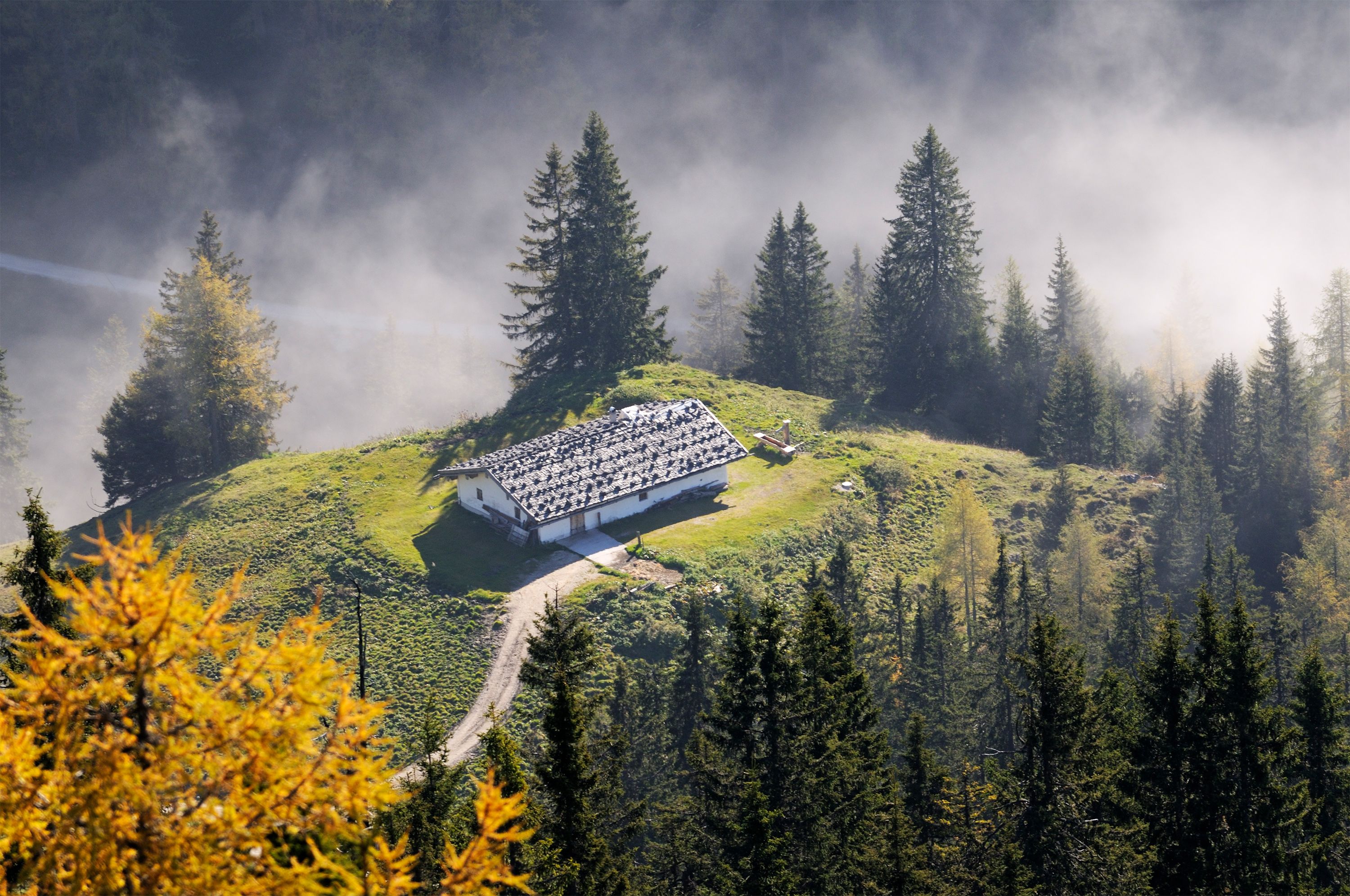
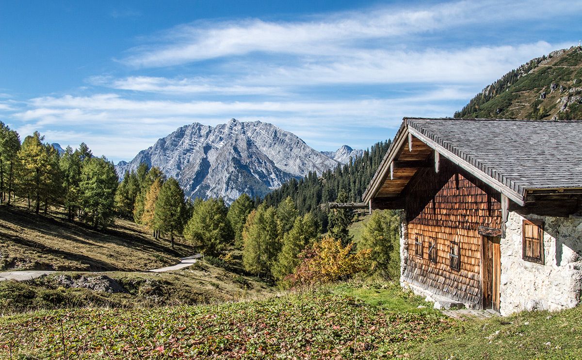
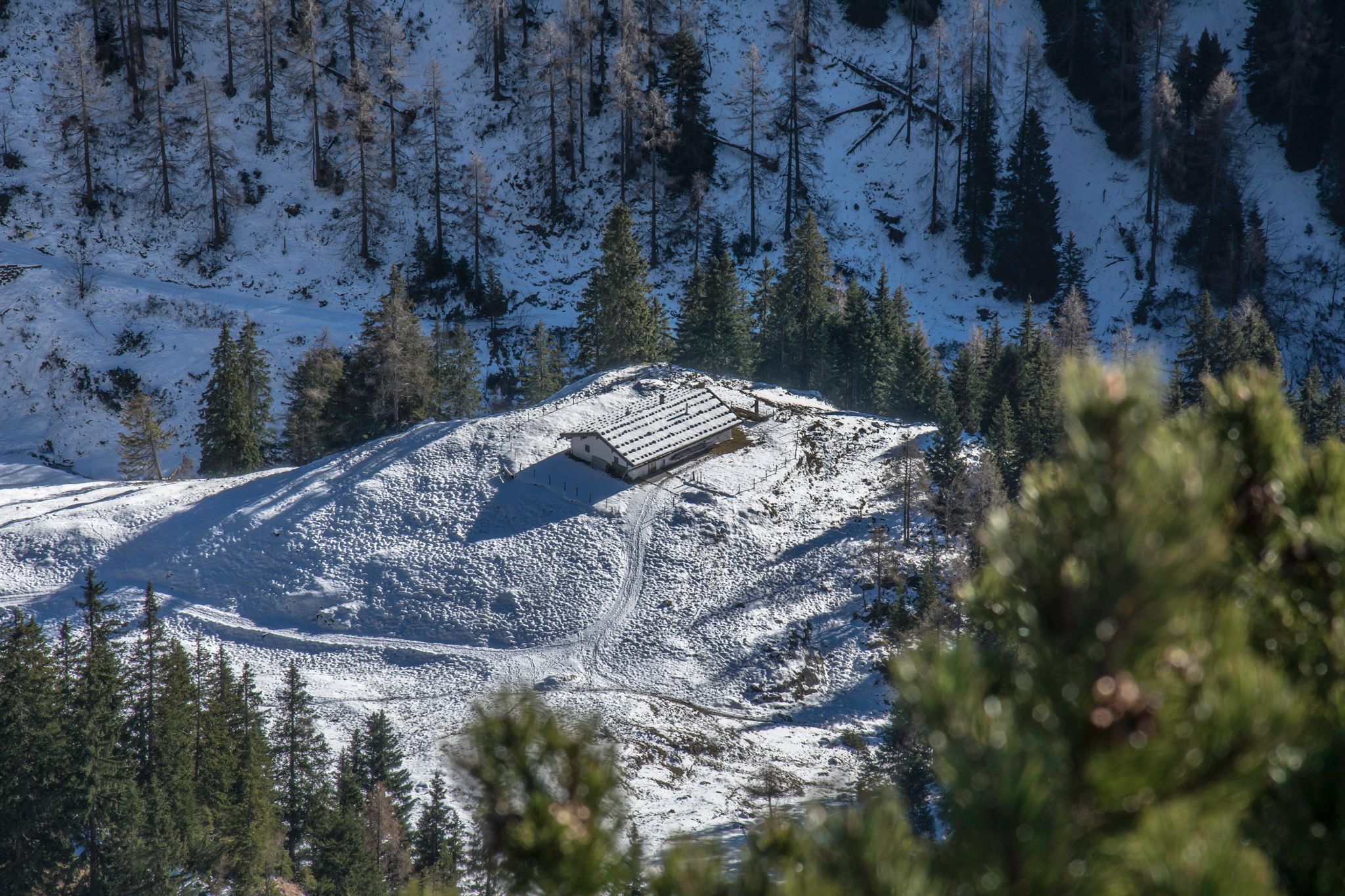
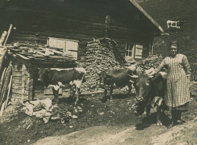
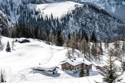
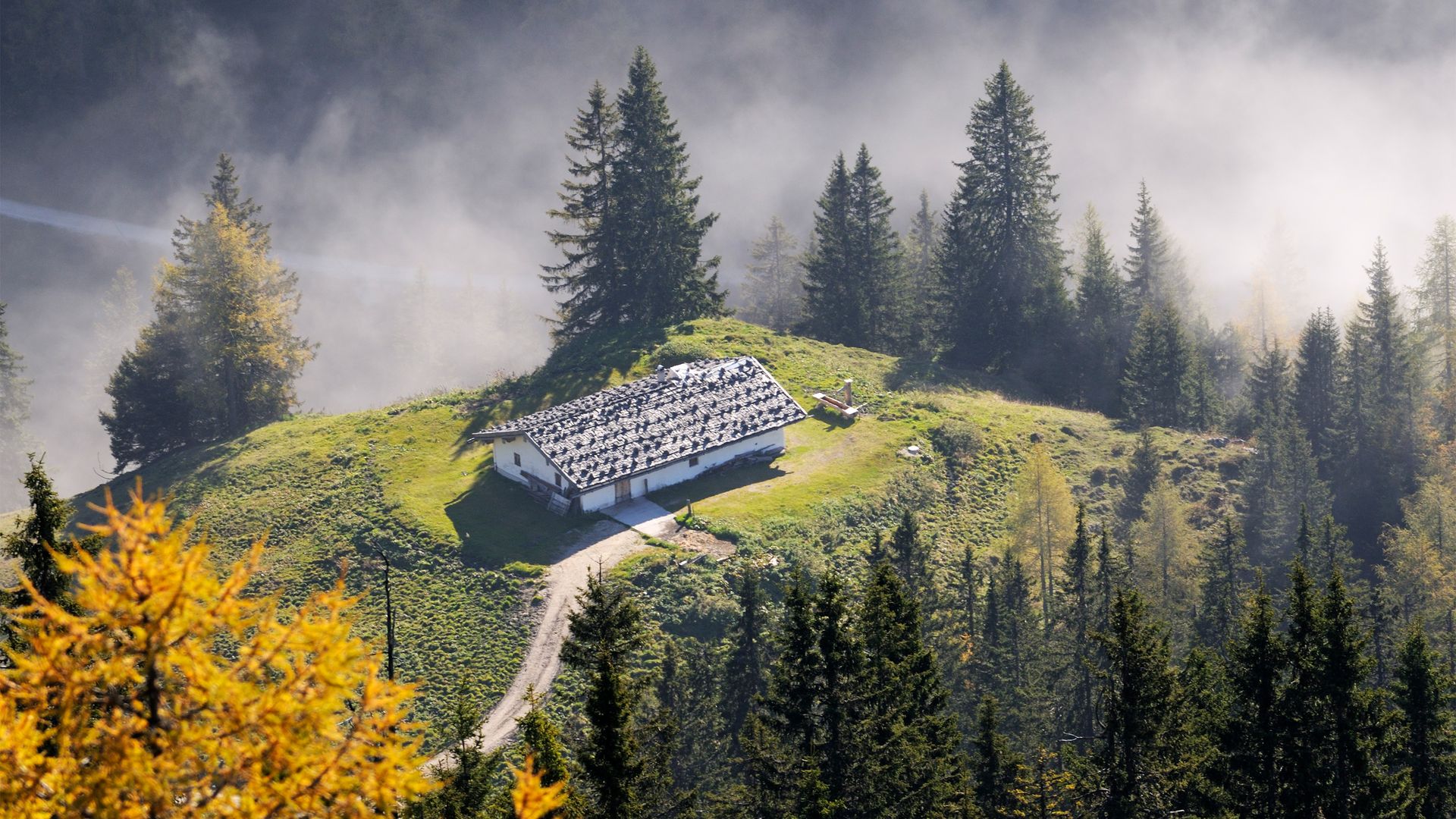
The alpine pastures surrounding Sulzbergkaser stretch between 1,500 and 1,650 meters above sea level. According to alpine farmer Franz Stangassinger, Sulzbergkaser was built as early as the 17th century. Originally, the alpine hut served as lodging for the region's miners, who extracted manganese, copper, and even gold from the surrounding mountains.
The stone foundations from that era are still visible in today's stone-built Sulzbergkaser. Equally striking are the heavy stones weighing down the shingle roof, a traditional way of securing it against harsh alpine weather. Carefully maintained over the centuries, the hut continues to provide an excellent working environment for alpine herdsman Markus.
Historic mining on Königsbergalm
The former mining area on Königsbergalm, west of Torrener Joch, was divided into a western and an eastern field. Both are located on the gently sloping northern slope of the Königsberg ridge in the immediate vicinity of Schneibsteinhaus at an elevation of 1,670 meters.
The western field, Georg, included, in addition to smaller mines, the Georgschacht and the Clarastollen on the northern slope of the Königsberg ridge at elevations of 1,656 and 1,600 meters, respectively.
In the eastern field Anton and Barbara—the actual mining area—the Anton mine was located near Königsbergalm at an elevation of 1,670 meters. It was likely the starting point for all mining activities in this area. The eastern field also includes the still-open, approximately 300-meter-long Barbarastollen, with several mining shafts at an elevation of 1,581 meters along Königsbach. The Heinrich-Unterbaustollen, now inaccessible and located at an elevation of 1,518 meters, never progressed beyond the exploration stage.
Hiking to Königsbergalm
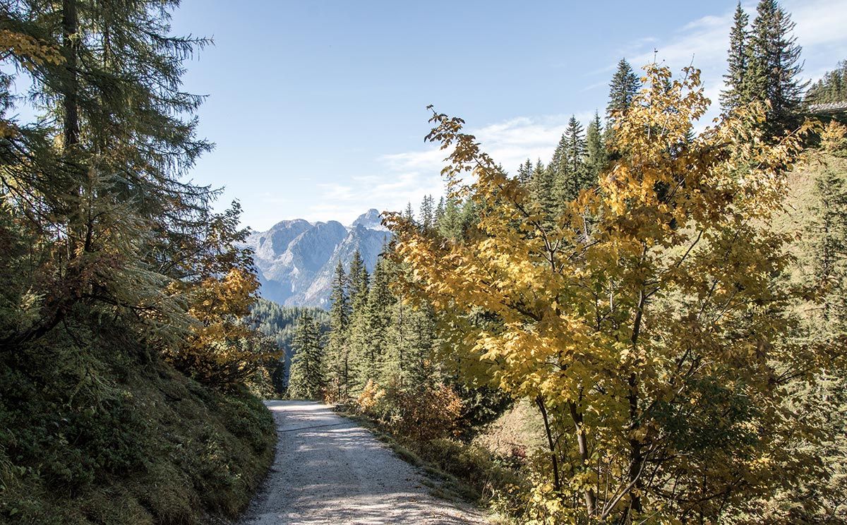
You can reach Königsbergalm from the Hinterbrand parking lot or from the Jennerbahn mid-station on an easy hike along the Königsweg trail. Alternatively, you can hike from Jennerbahn summit station down to Königsbergalm.
Mountain biking to Königsbergalm
The trail via Königsbergalm is now also open to mountain bikers. This route is part of the Hoher Göll mountain bike circuit. This challenging tour takes you from the parking lot at Obersalzberg Documentation Center, starting with a leisurely ride past Scharitzkehlalm and the Hinterbrand parking lot to Königsbachalm. This is followed by a steep climb via Königsbergalm and past Schneibsteinhaus, and on to Stahlhaus on the Torrener Joch. After a break, you’ll push or carry your mountain bike down the steep section to Oberjochalm in the Bluntau Valley. From there, you’ll continue riding—past Lake Bluntau on the Tauern Cycle Path toward Hallein. From Hallein, the tour leads along Winterstallstraße and through Bad Dürrnberg to the Gmerk Pass summit. With a view of the Berchtesgadener Land, the route then descends toward Oberau and back to the starting point via Obersalzbergstraße.
Schneibsteinhaus and Stahlhaus
The alpine pastures of Königsbergalm are bordered by two mountain huts. Schneibsteinhaus is a mountain refuge operated by the German Alpine Club's Berchtesgaden section. A little higher up, just across the Austrian border, you'll reach Stahlhaus. Both huts serve as important mountain bases and are ideal starting points for hikes and alpine adventures in Hagengebirge.