RoHa Fotothek Fürmann

Stoißer Alm via Schneid

  • Hiking route
  • Hiking
  • 3:30 h
  • 10,1 km
  • 533 hm

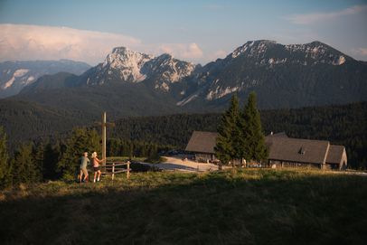
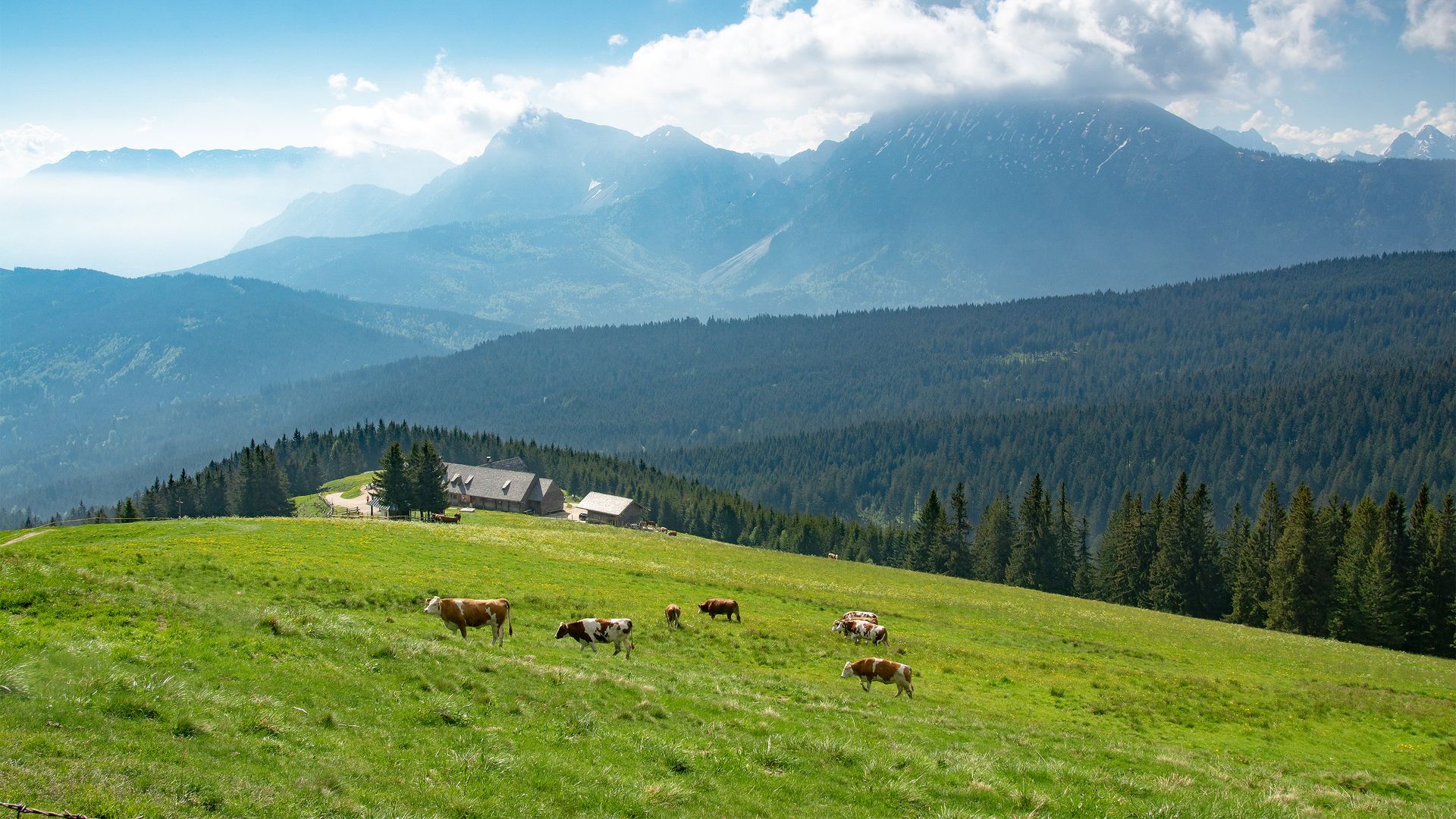
Mountain views and a wonderful place to stop for a break in the Rupertiwinkel region

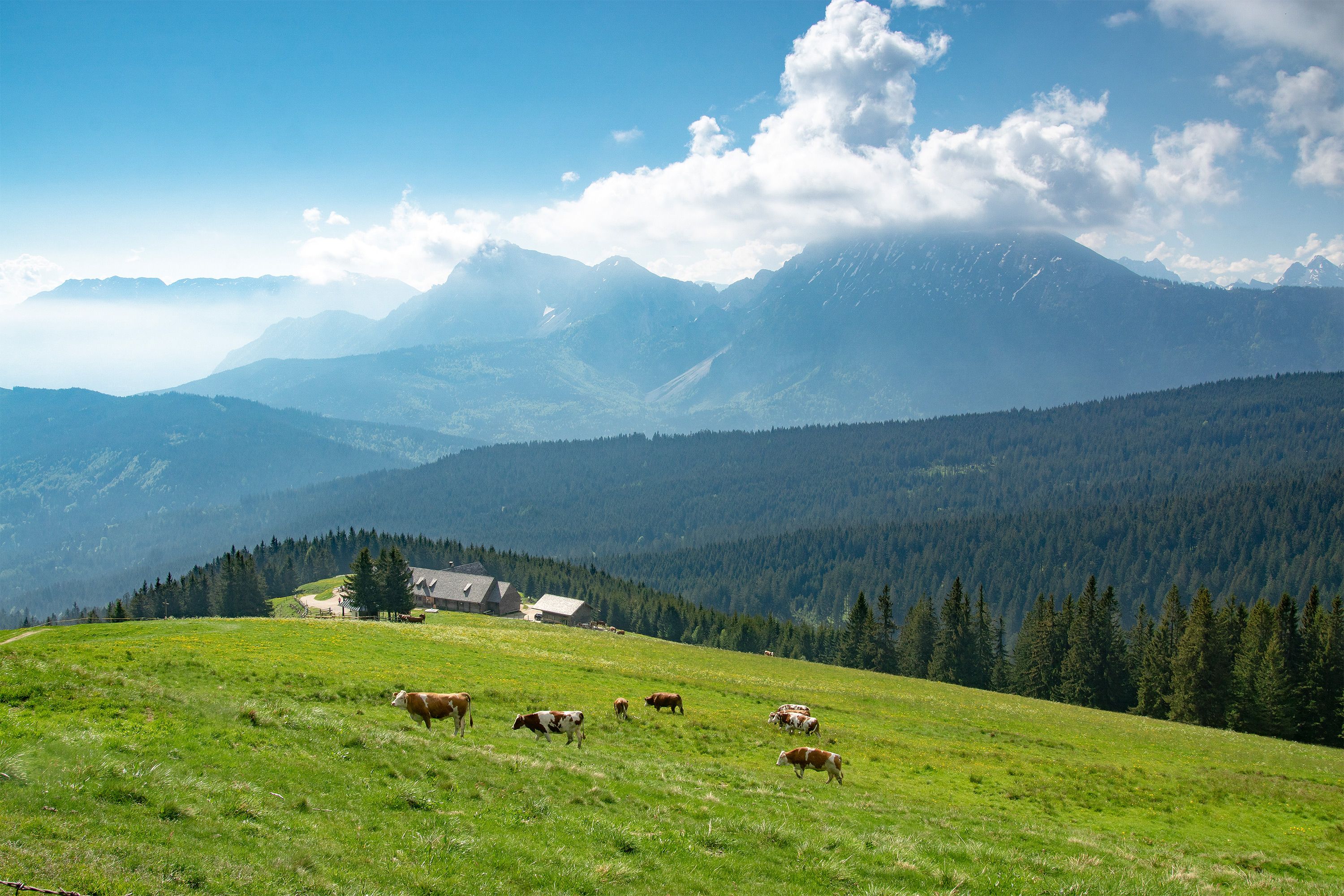
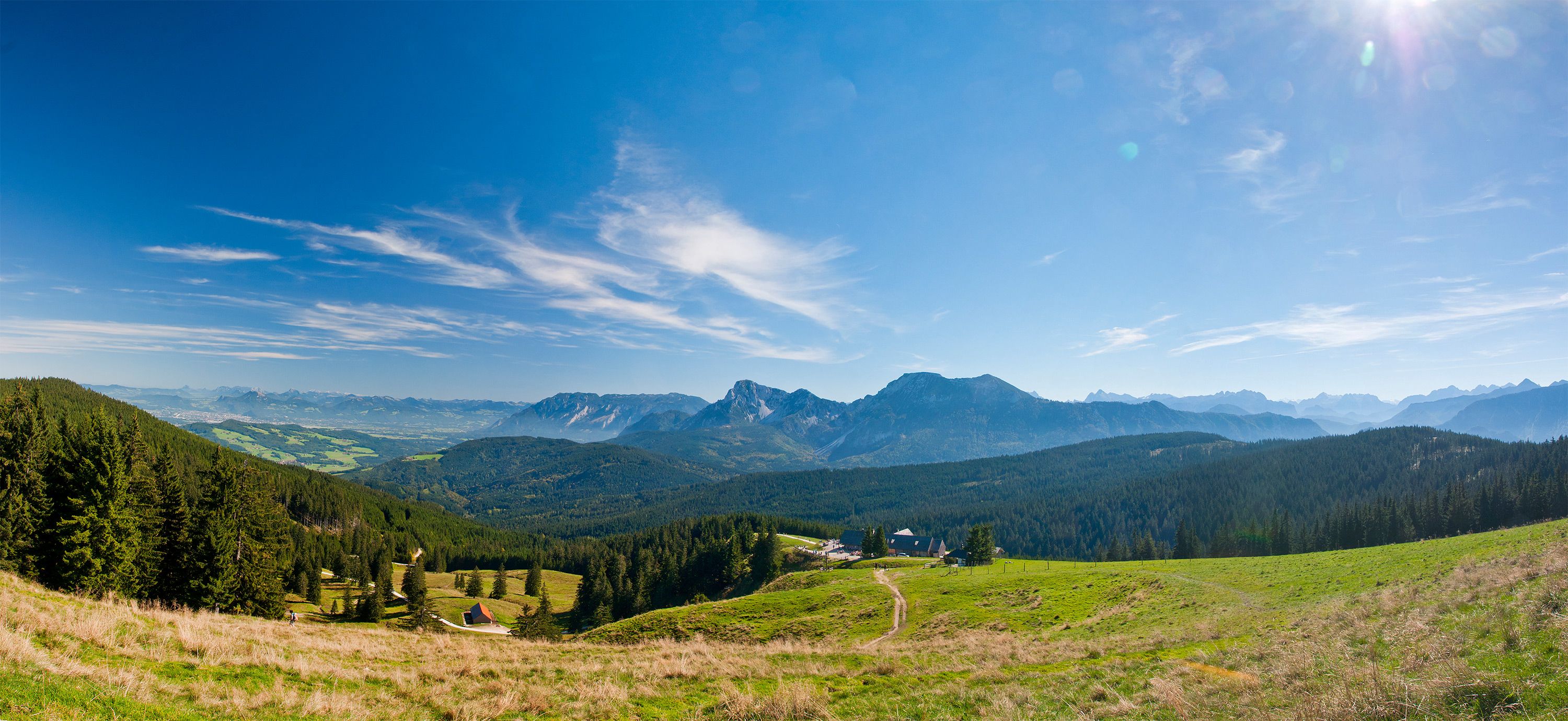
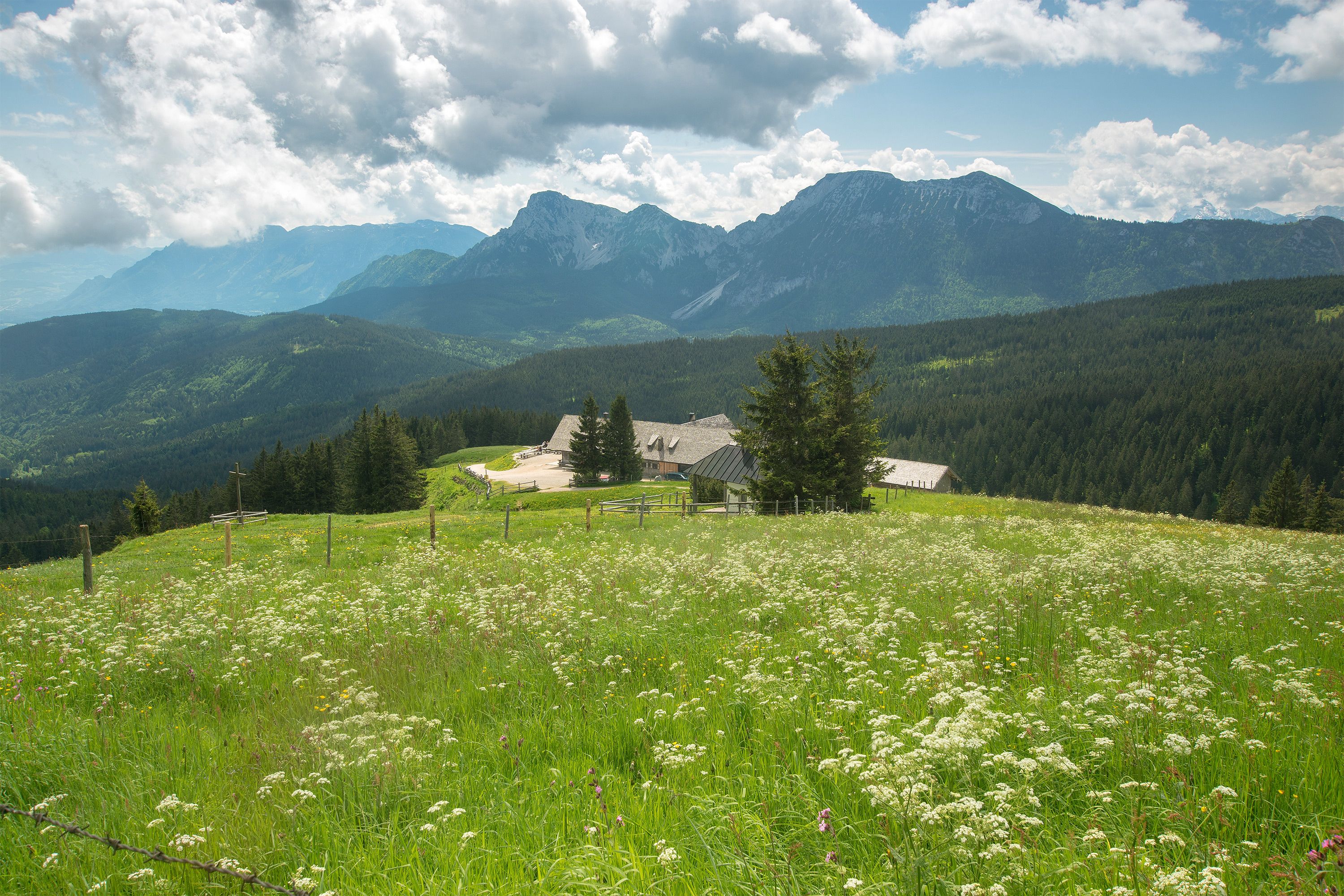
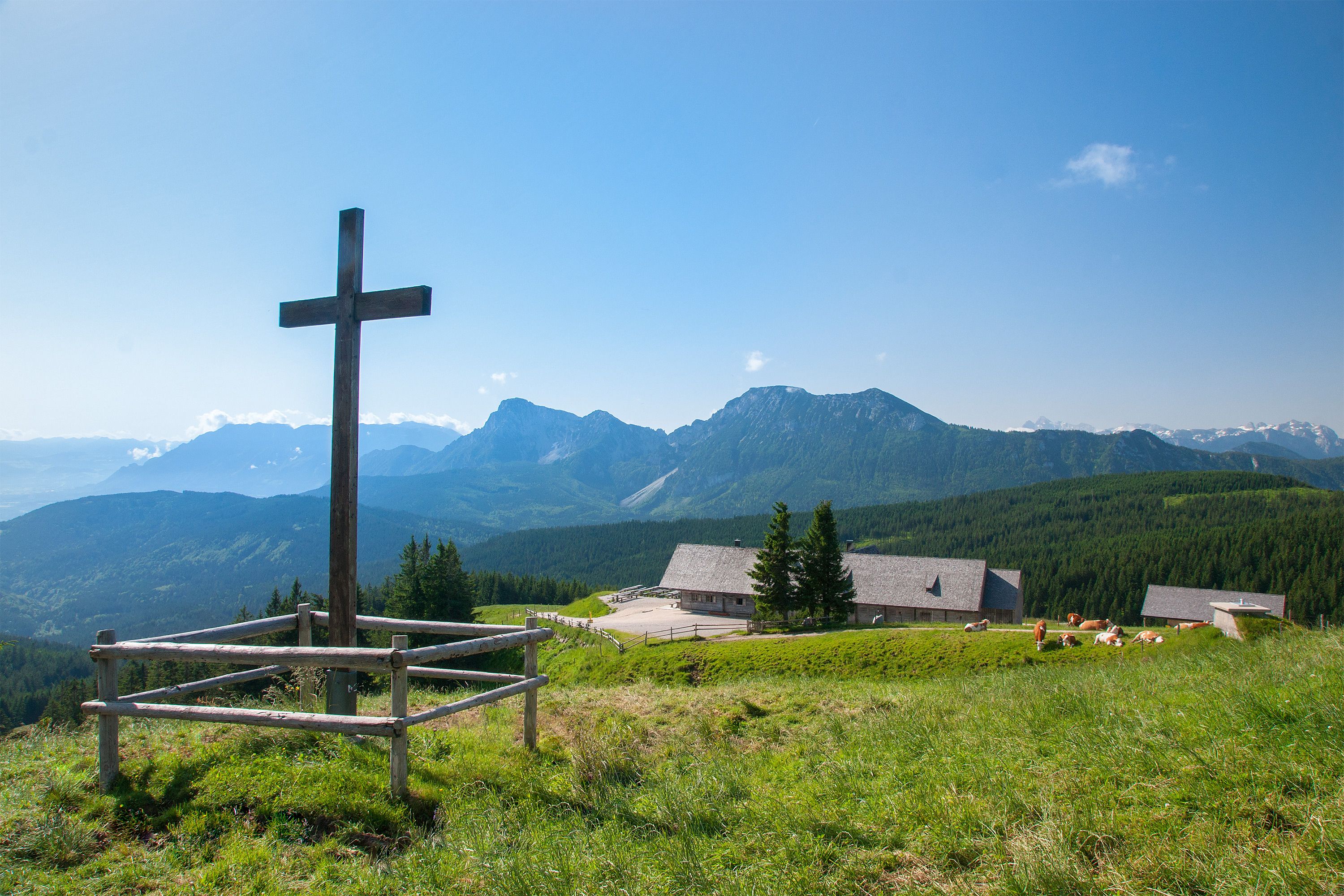
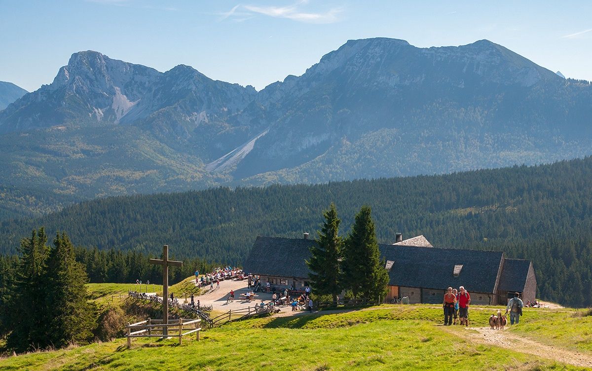
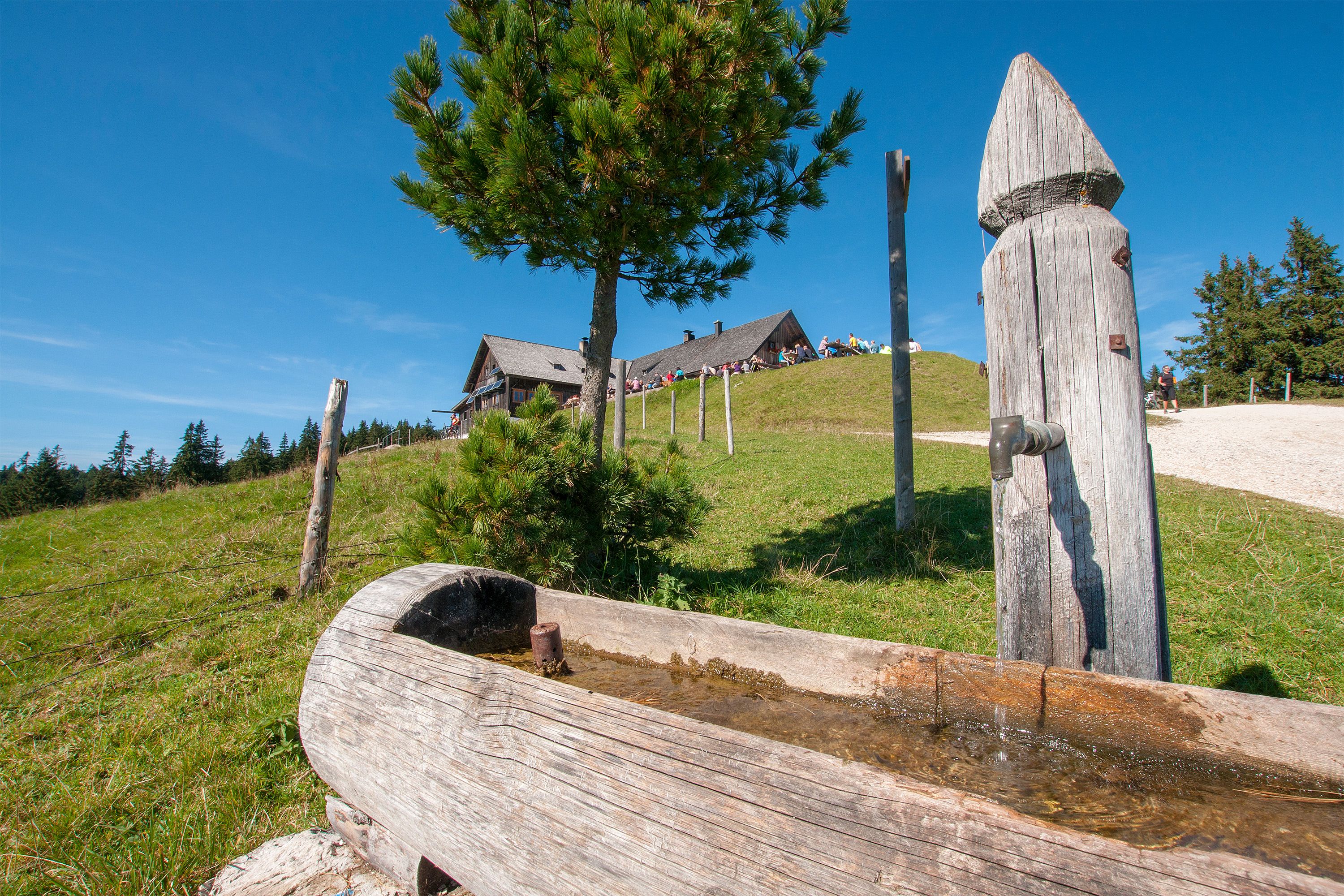
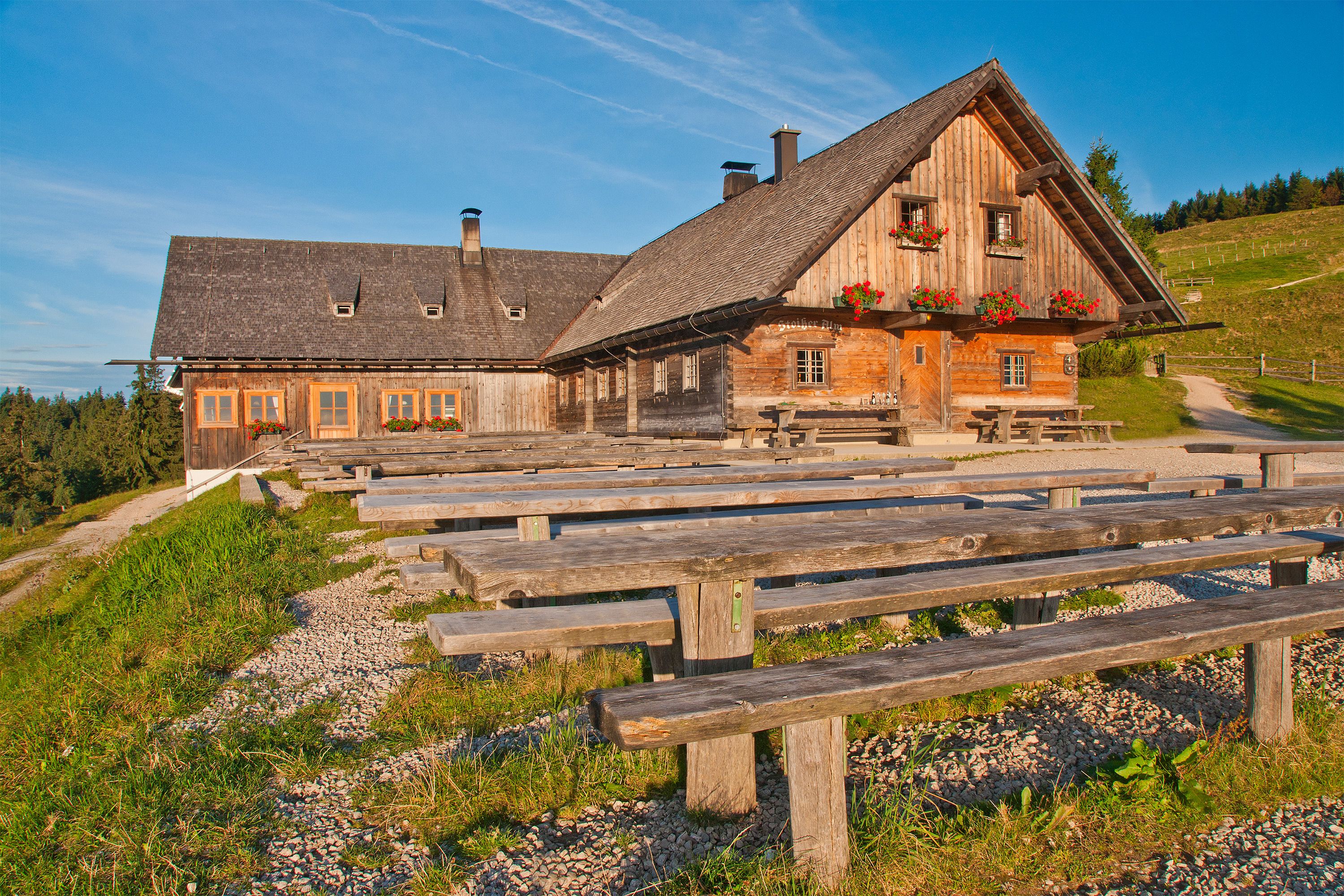
Stoißer Alm is the top choice for hikers and mountain bikers looking to head high up into the Rupertiwinkel. At the 1,334-meter-high Teisenberg, breathtaking views meet culinary delights. The route described here via Schneid is one of the quickest ways to reach the “Stoiß,” as the alpine pasture is known locally.
Route details

  • Difficulty
    intermediate
  • Start point

    Neuhaus hiking parking lot, Stoißbergstraße, 83454 Anger

  • Destination

    Neuhaus hiking parking lot, Stoißbergstraße, 83454 Anger

    Duration3:30 h
    Distance10,1 km
    Ascent533 hm
    Descent533 hm

    Fitness level3/6
    Difficulty2/6
    Landscape4/6
    Experience4/6

J F M A M J J A S O N D

Directions

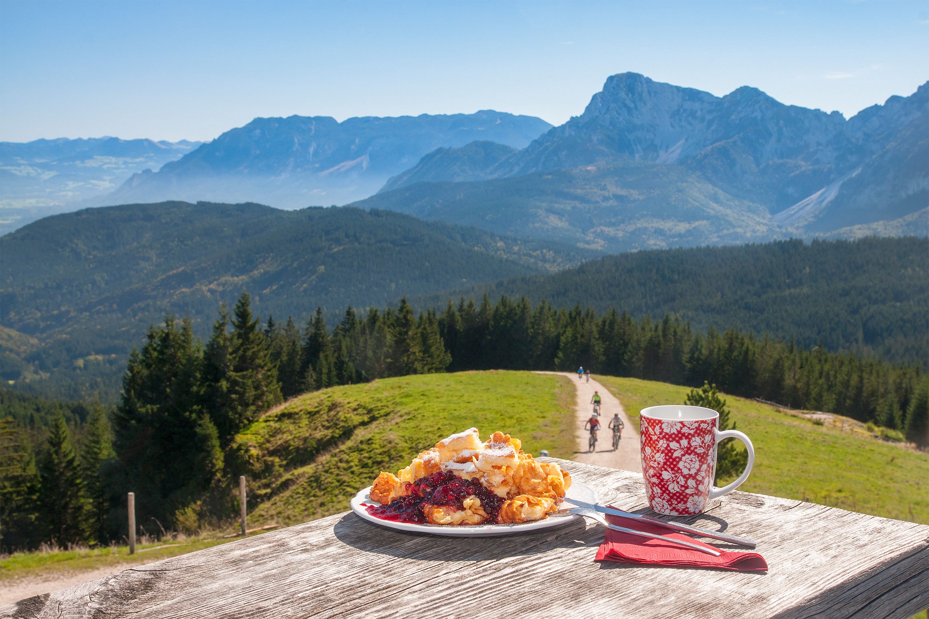
From the starting point, hike gently uphill through the forest to a scenic viewpoint. Then follow the route known as the Schneid and climb steadily along forest trails to Stoißer Alm. At 1,300 meters, enjoy magnificent mountain views and stop for traditional alpine food and refreshments.

For the return trip, follow the forest road toward Kohlhäusl. Descend steadily across alpine meadows to just above Saulochhütte. Turn left onto the lower road toward Neuhaus Alm and follow it for about 2.5 kilometers. At the memorial stone above Neuhaus Alm, turn right onto the familiar hiking trail and follow it back to the parking lot.

  • Unbekannt

    Stoißer Alm from Seiberstadt | Teisendorf

    Teisendorf
    • 4:00 h
    • 9,6 km
    • 690 hm
    • Hiking route
    • Hiking
  • Stoißer Alm in the Rupertiwinkel region

    Teisendorf
    • Open today