Bergerlebnis Berchtesgaden

Stoißer Alm mountain bike route from Teisendorf

MTB: 23 - Stoißer Alm from Teisendorf
  • Mountain Biking
  • Cycling
  • 3:00 h
  • 23,7 km
  • 840 hm

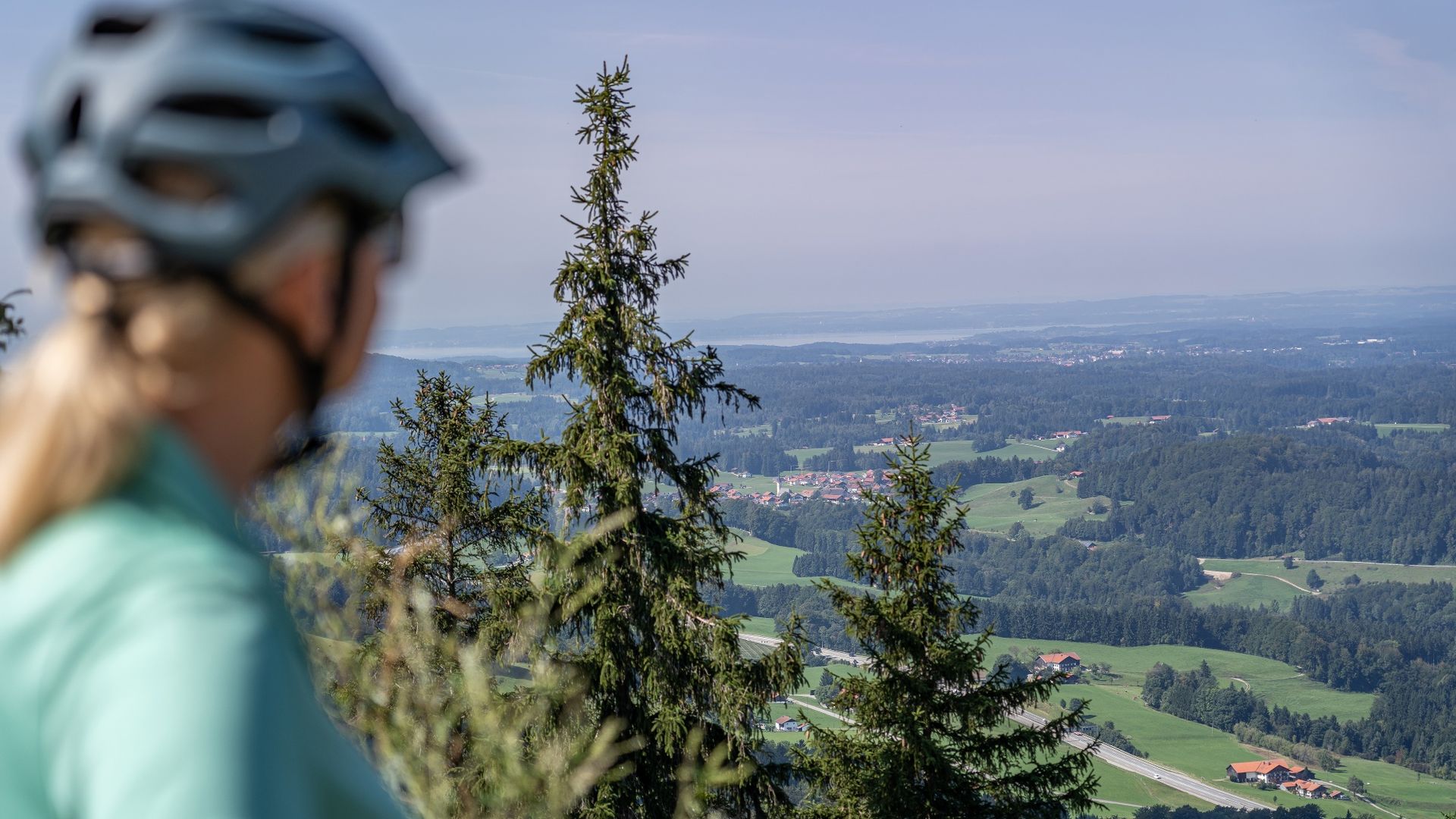
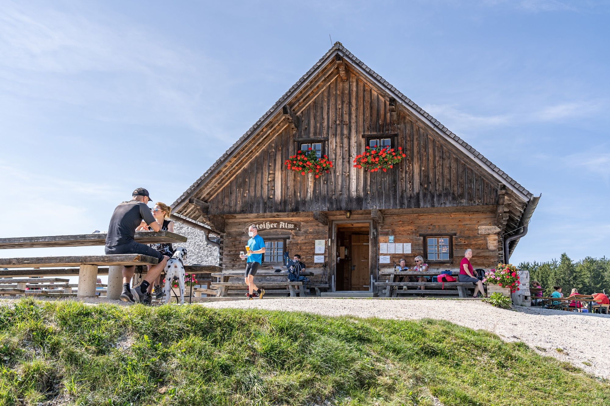
Stoißer Alm is the classic mountain biking destination in the Rupertiwinkel, in the northern Berchtesgadener Land region.

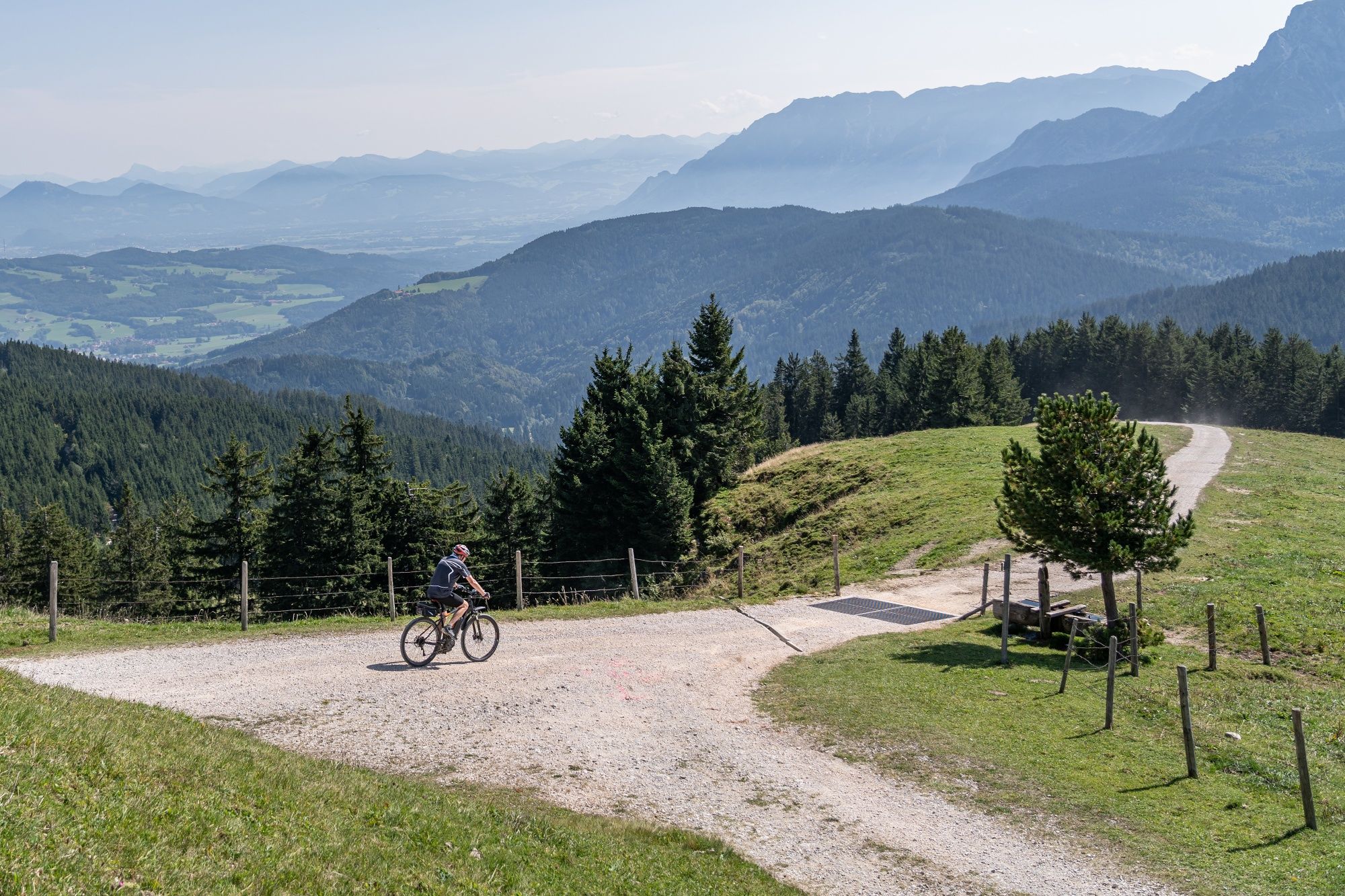
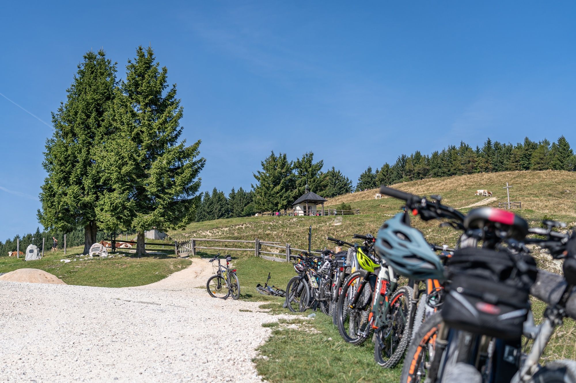
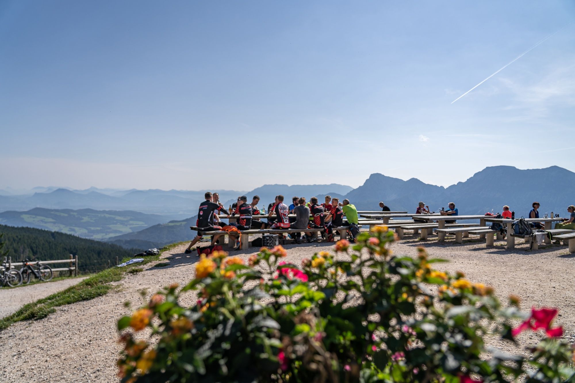
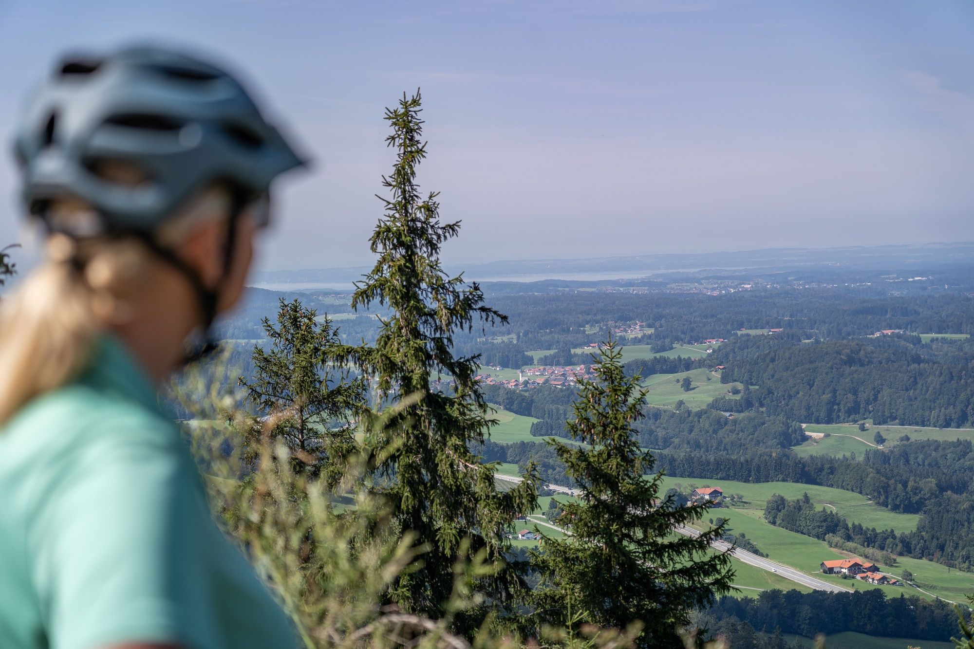
Starting in Teisendorf, the mountain bike route leads through Freidling and Hub, initially on paved roads, before climbing in switchbacks to the eastern ridge of Teisenberg. Follow the southern slopes to Stoißer Alm, then tackle one final climb to the mountain restaurant. At the top, reward yourself with a well-earned break and beautiful views across Rupertiwinkel. Return along the same route or ride back to Teisendorf via Anger and the Moor- und Moosradweg bike path. The route covers 23.7 kilometers with 840 meters of elevation gain.
Route details

  • Difficulty
    intermediate
  • Start point

    Teisendorf village center

  • Destination

    Teisendorf village center

    Duration3:00 h
    Distance23,7 km
    Ascent840 hm
    Descent840 hm

    Fitness level3/6
    Difficulty2/6
    Landscape5/6
    Experience5/6

J F M A M J J A S O N D

When cycling and mountain biking, please follow the cycling guidelines and be considerate of hikers, local residents, and nature.

Directions

From Teisendorf, follow the Milchstraßen-Radweg bike path, marked by a white cow on a purple background, to Freidling. Continue on paved roads through Hub and Niederreit before climbing in switchbacks to the eastern ridge of Teisenberg. Follow the southern slopes until you reach Stoißer Alm. One final steep climb takes you up to the mountain restaurant. Return along the same route or follow Route 22 to Anger, then take the Moor- und Moosradweg bike path back to Teisendorf.

  • Stoißer Alm von Anger mountain bike route

    Anger
    • 2:30 h
    • 19,1 km
    • 750 hm
    • Mountain Biking
    • Cycling
  • Stoißer Alm in the Rupertiwinkel region

    Teisendorf
    • Open today