Bergerlebnis Berchtesgaden

Stoißer Alm von Anger mountain bike route

MTB: 22 - Stoißer Alm from Anger
  • Mountain Biking
  • Cycling
  • 2:30 h
  • 19,1 km
  • 750 hm

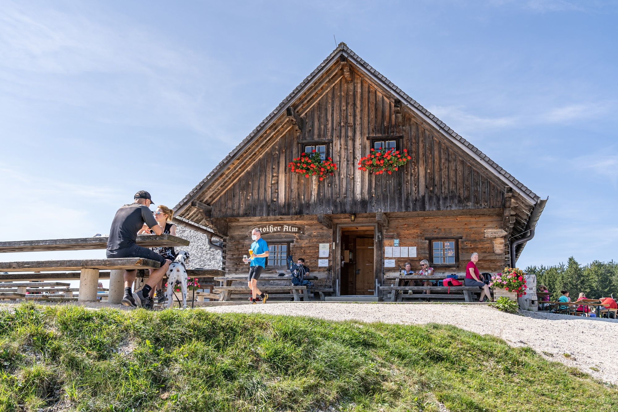
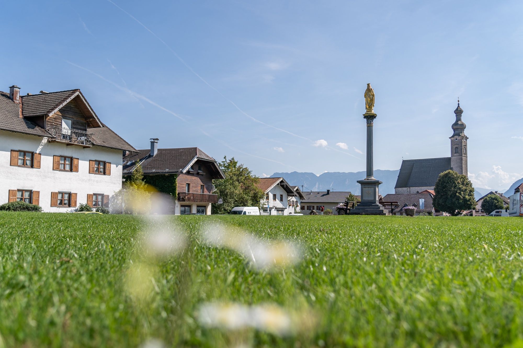
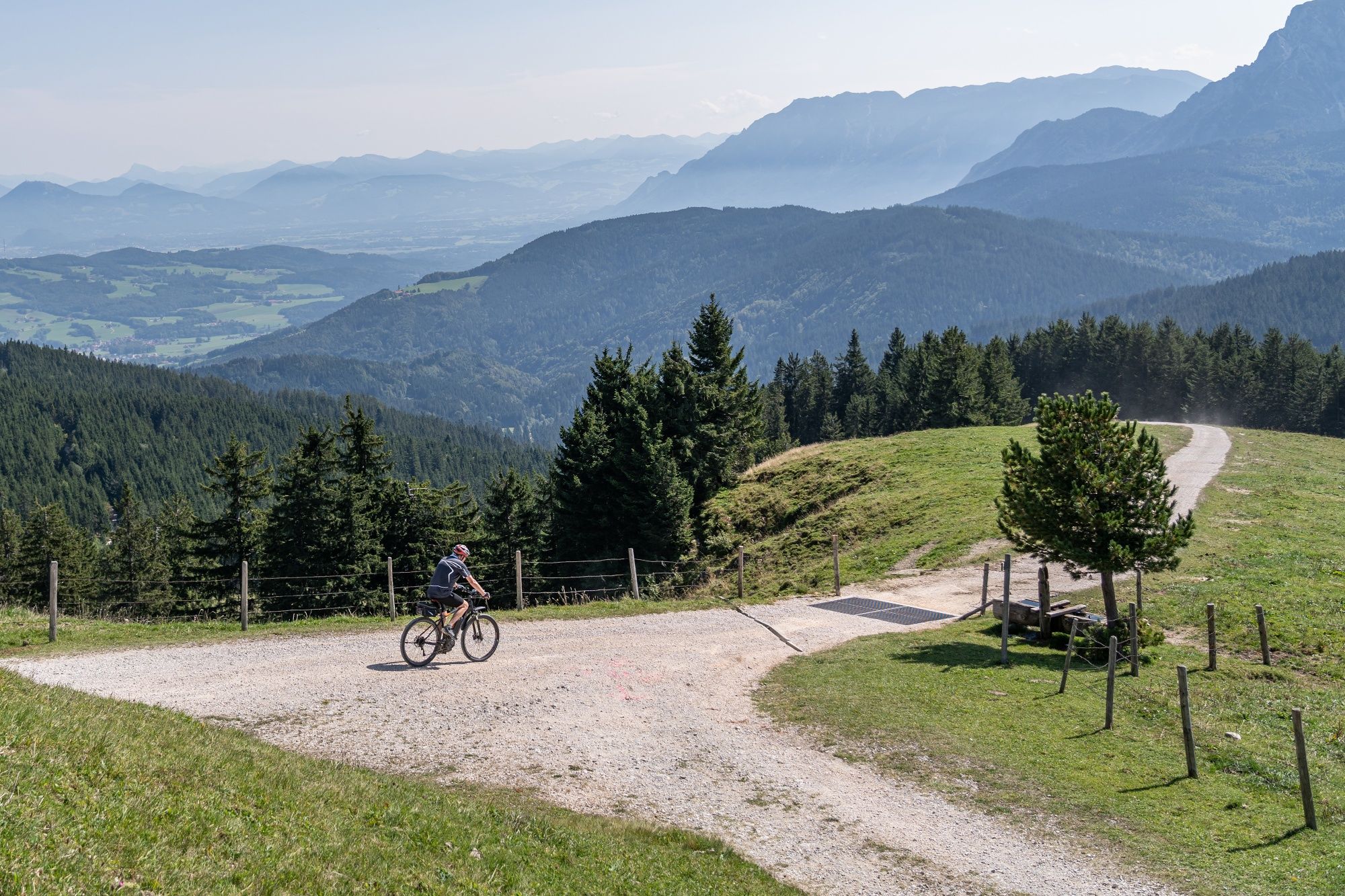
Stoißer Alm is the classic mountain biking destination in the Rupertiwinkel region. This version of the route starts in Anger.

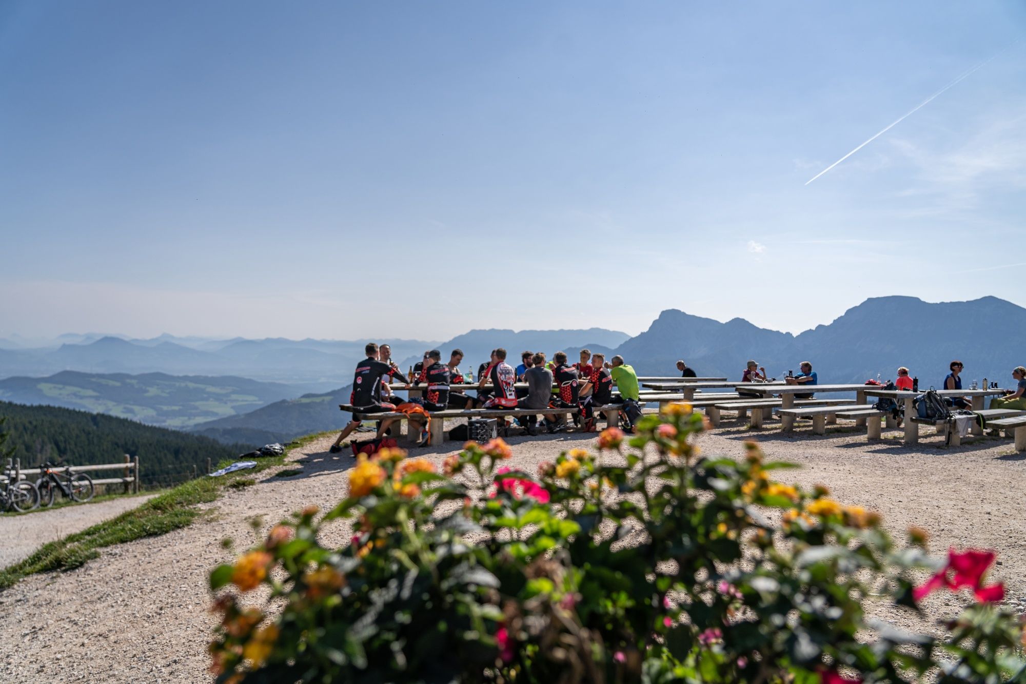
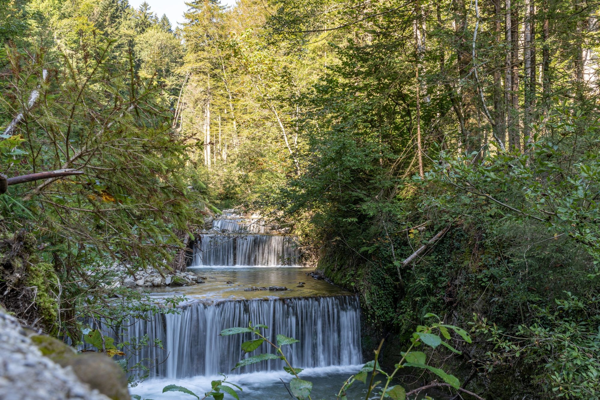
From Anger, the route follows the Stoißer Ache and climbs steadily toward scenic Stoißer Alm. Once you reach the top, reward yourself with a well-earned break and sweeping views across Rupertiwinkel all the way to Salzburg. Return along the same route or ride back to Anger via Teisendorf and the Moor- und Moosradweg bike path. The route covers 19.1 kilometers with 750 meters of elevation gain.
Route details

  • Difficulty
    intermediate
  • Start point

    Anger

  • Destination

    Anger

    Duration2:30 h
    Distance19,1 km
    Ascent750 hm
    Descent750 hm

    Fitness level3/6
    Difficulty2/6
    Landscape6/6
    Experience6/6

J F M A M J J A S O N D

Watch out for hikers: Stoißer Alm is a popular hiking destination, too!

When cycling and mountain biking, please follow the cycling guidelines and be considerate of hikers, local residents, and nature.

Directions

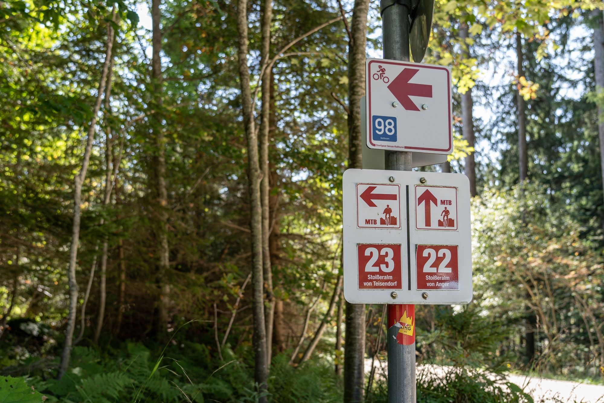
Start at Scheiterparkplatz in the municipality of Anger and follow the Stoißer Ache up the valley. A series of winding and straight climbs takes you toward the alpine pastures of Stoißer Alm—but you’re not at the top just yet. One final challenging climb awaits before you can reward yourself with a well-earned break at Stoißer Alm mountain restaurant, where spectacular views make the effort worthwhile. Return along the same route or follow Mountain Bike Route 23 to Teisendorf, then take the Moor- und Moosradweg bike path back to Anger.

  • Stoißer Alm in the Rupertiwinkel region

    Teisendorf
    • Open today
  • Bergerlebnis Berchtesgaden

    Stoißer Alm mountain bike route from Teisendorf

    Teisendorf
    • 3:00 h
    • 23,7 km
    • 840 hm
    • Mountain Biking
    • Cycling