Stoißer Alm from Seiberstadt | Teisendorf

  • Hiking route
  • Hiking
  • 4:00 h
  • 9,6 km
  • 690 hm

From Teisendorf to scenic Stoißer Alm

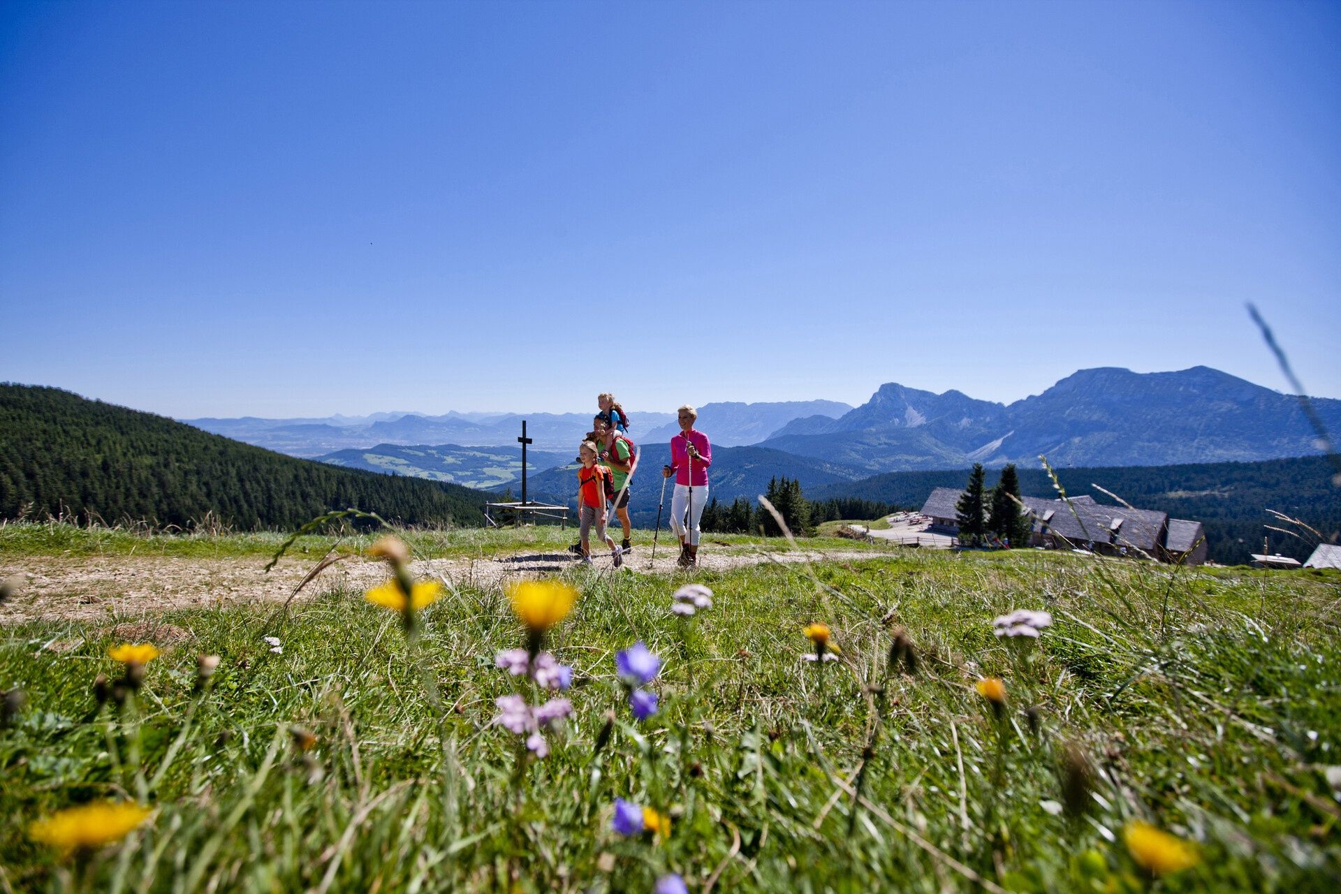
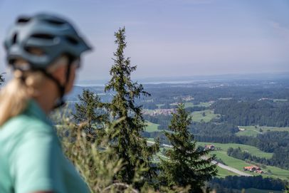
Starting at the Seiberstadt parking lot in Teisendorf, you’ll follow one of the shortest routes up to Stoißer Alm. As you climb, enjoy sweeping views to the north across Lake Waginger See all the way to Lake Chiemsee.

Route details

  • Difficulty
    intermediate
  • Start point

    Seiberstadt parking lot

    Duration4:00 h
    Distance9,6 km
    Ascent690 hm
    Descent690 hm

    Fitness level2/6
    Difficulty2/6
    Landscape4/6
    Experience4/6

J F M A M J J A S O N D

Watch out for cyclists, as Stoißer Alm is also popular with mountain bikers.

Directions

From the Seiberstadt parking lot, follow the road uphill and, after passing through the hamlet of Seiberstadt, turn right onto the paved road toward Hochöd. In Hochöd, walk behind the house and follow the fenced path. Continue steadily uphill, crossing a total of three forest roads. Follow the second forest road for 100 meters before turning left and heading uphill again. After passing through the alpine pasture gate, hike for a short stretch through open woodland. You then have two options: turn right and follow the faint trail across the meadow close to the pasture fence to reach the scenic summit in five minutes, or stay on the trail and continue directly to Stoißer Alm.

Descend along the same route.

  • RoHa Fotothek Fürmann

    Stoißer Alm via Schneid

    Anger
    • 3:30 h
    • 10,1 km
    • 533 hm
    • Hiking route
    • Hiking
  • Stoißer Alm in the Rupertiwinkel region

    Teisendorf
    • Open today