salzalpensteig.com

SalzAlpenSteig: Stage 9

Ramsau - Königssee
  • Nature Trail
  • Hiking
  • 6:50 h
  • 18,4 km
  • 963 hm

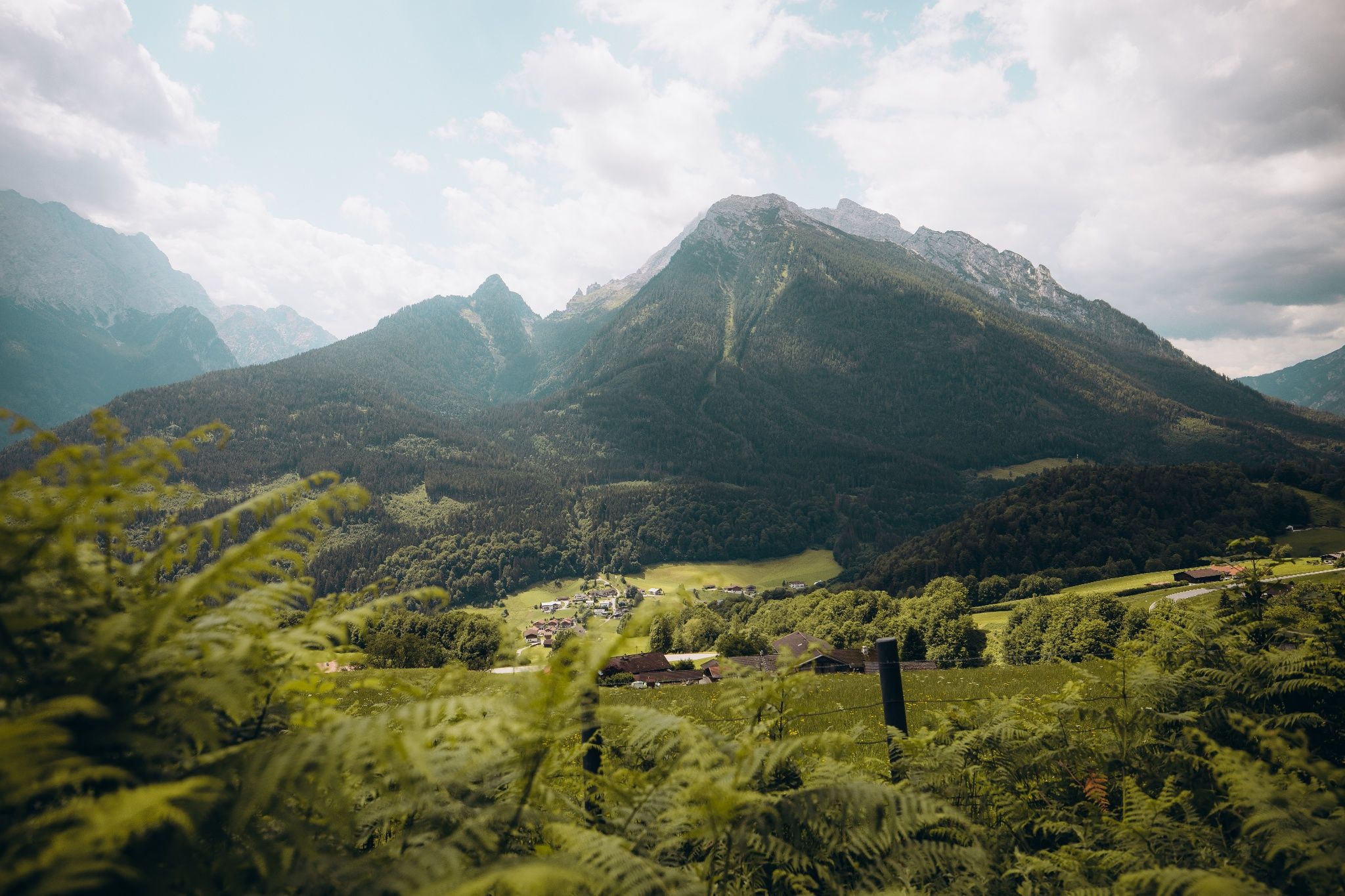
On stage nine of the SalzAlpenSteig, follow historic trails along Soleleitungsweg through the bird sanctuary above Ramsau to Engedey. From there, a steep climb takes you to Grünsteinhütte, a spectacular viewpoint in the Berchtesgaden Alps, with the deep-blue waters of Lake Königssee far below.

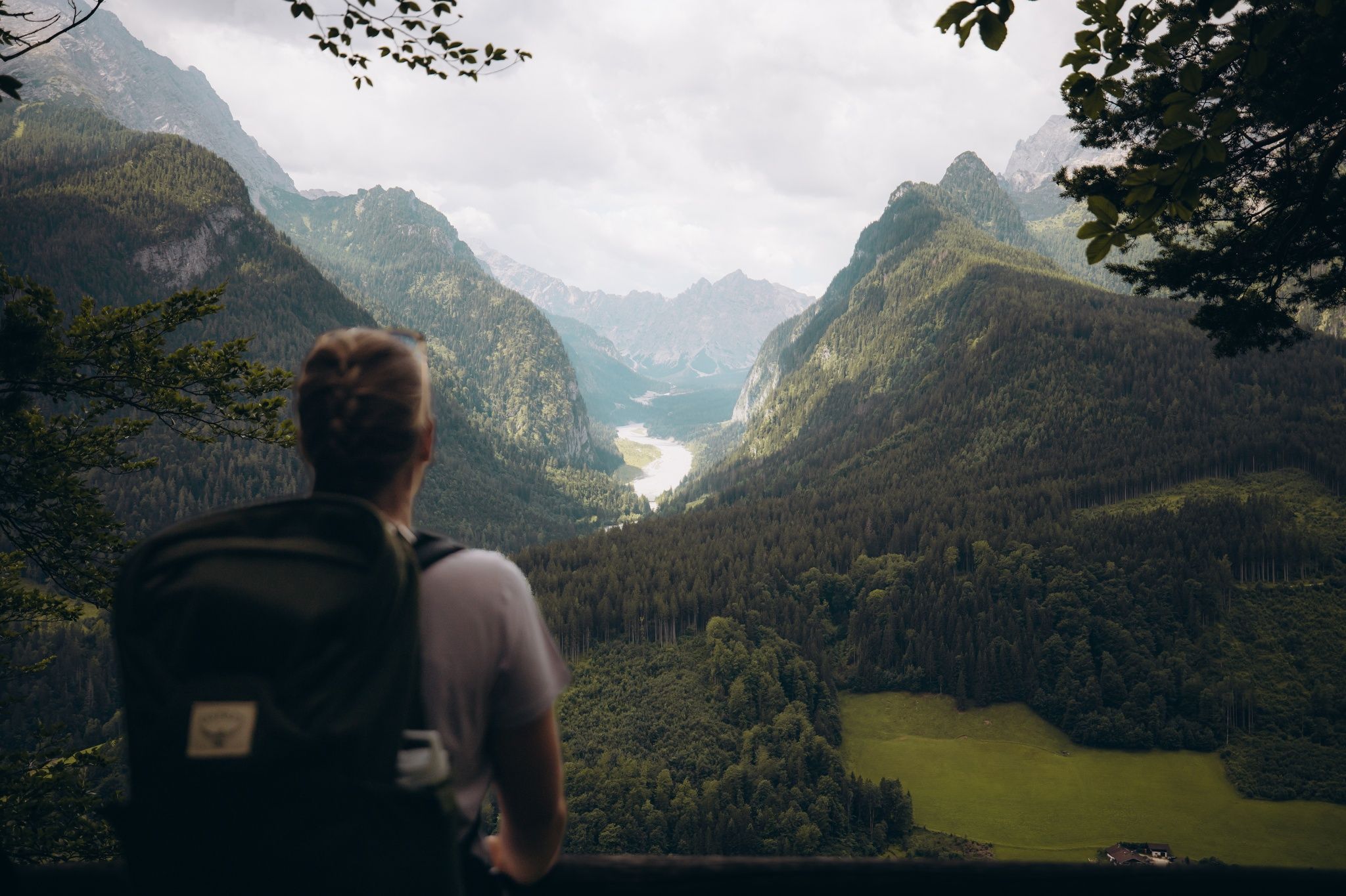
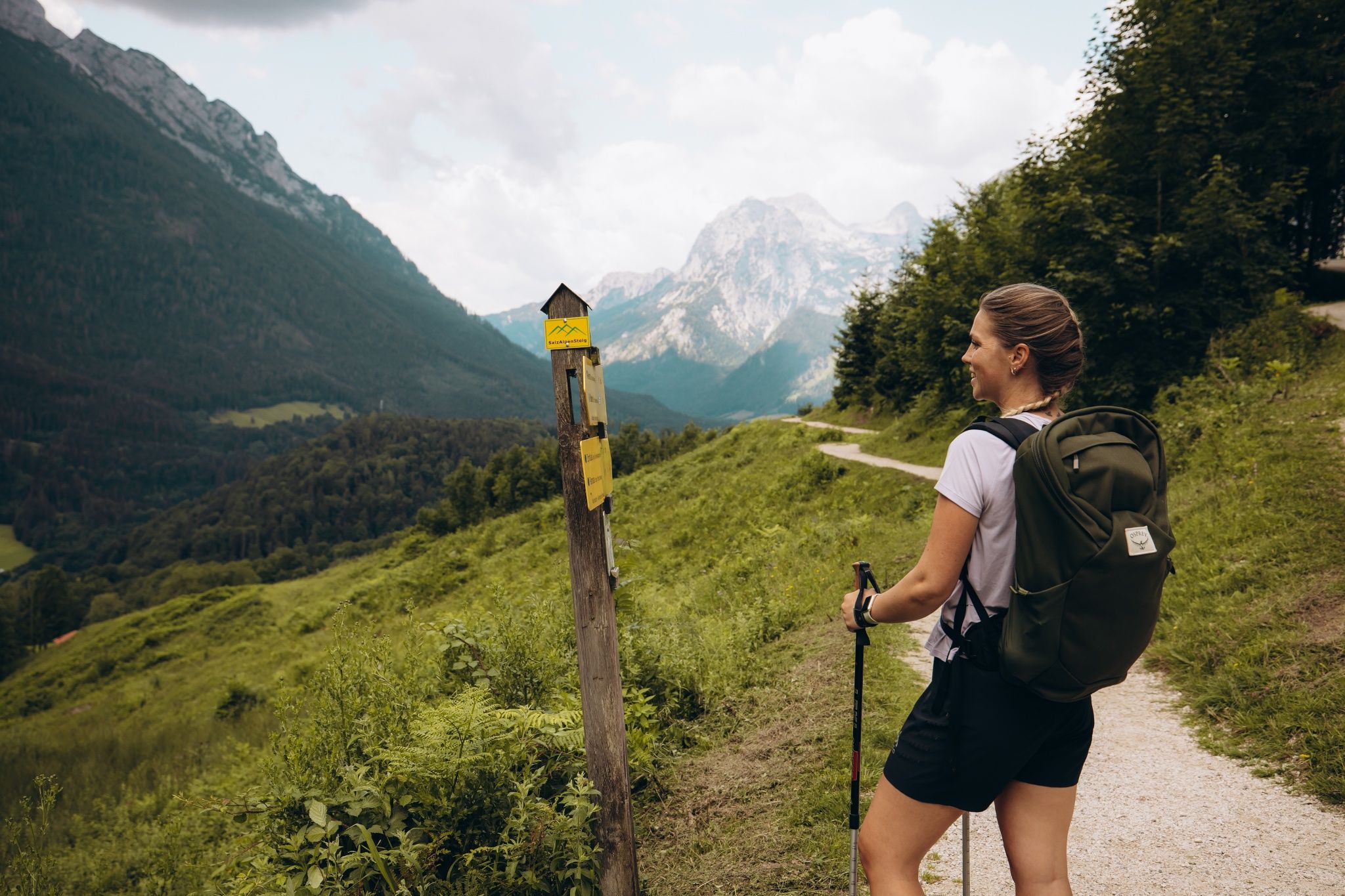
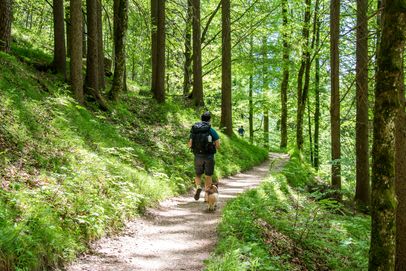
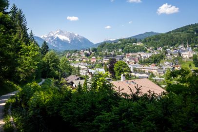
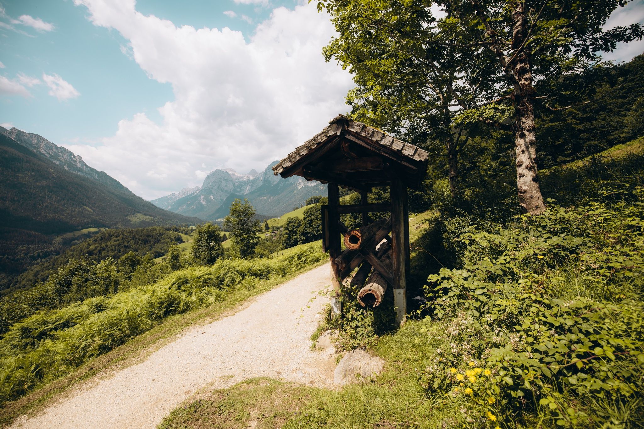
On stage nine of the SalzAlpenSteig, follow historic Soleleitungsweg through the bird sanctuary above Ramsau to Engedey. As you make the steep climb to Grünsteinhütte, enjoy spectacular views of the Berchtesgaden Alps and deep-blue Lake Königssee. The route follows the historic brine pipelines at the foot of Gröllberg and Söldenköpfl, rewarding you with magnificent views of Hochkalter, the Blaueis Glacier—the northernmost glacier in the Alps—and Watzmann. To the north, you’ll see Toter Mann, a mountain associated with a curious local legend. Grünstein, known for its panoramic views, can be climbed via several via ferrata routes. Forest roads and woodland trails lead you to Grünsteinhütte, where another sweeping view across the Berchtesgaden region awaits.

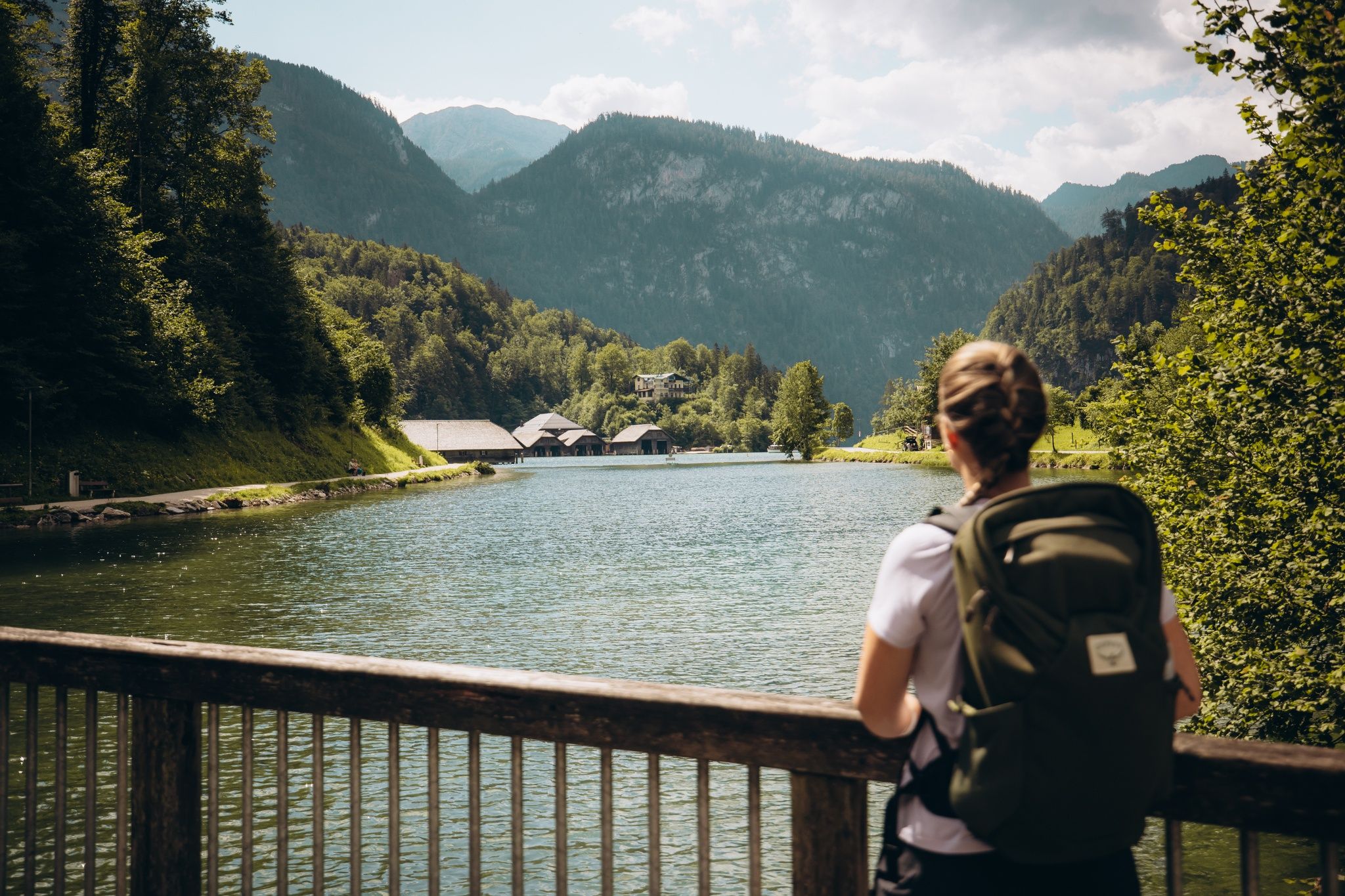
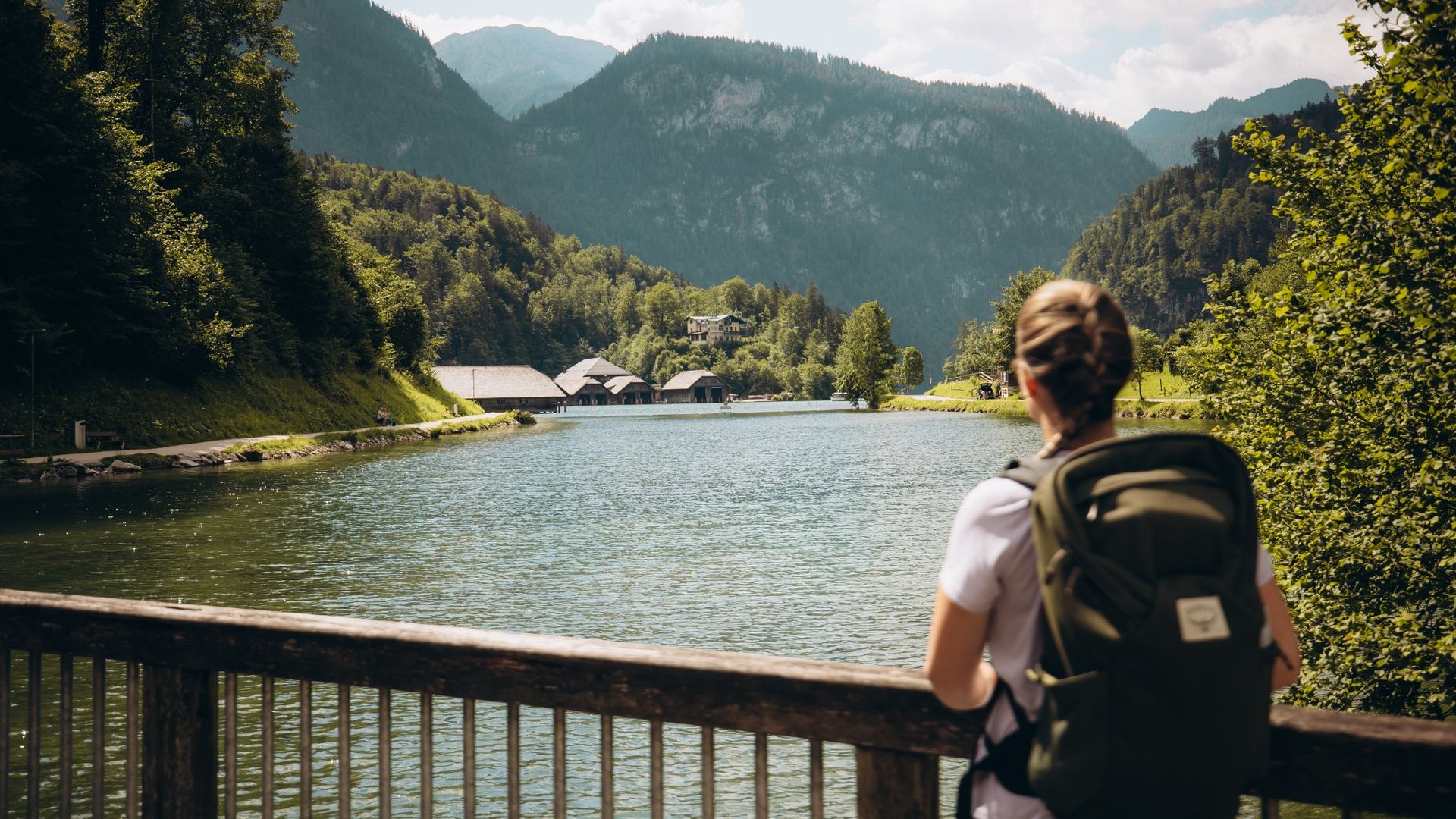
Your hike ends in Schönau am Königssee at world-famous Lake Königssee, where boats depart for St. Bartholomä and the lively pedestrian zone invites you to take a leisurely stroll. To round off stage nine, enjoy beautiful views across Lake Königssee toward Jenner, Hoher Göll, and Kehlstein with the Eagle’s Nest. Sturdy footwear is essential for this moderately difficult hike, which is best enjoyed from April through October.
Route details

  • Difficulty
    intermediate
  • Destination

    Königssee

    Duration6:50 h
    Distance18,4 km
    Ascent963 hm
    Descent1006 hm

    Fitness level6/6
    Difficulty6/6
    Landscape6/6
    Experience6/6

J F M A M J J A S O N D

Directions

Stage nine of the SalzAlpenSteig from the mountaineering village of Ramsau to Lake Königssee starts at the municipal administration and Tourist Information in Ramsau. First, head west along the main road, following the Ramsauer Ache. Before the church, turn right onto Schluchtweg. The trail climbs steadily until you reach Zipfhäusl after about 250 meters of elevation gain. Behind Zipfhäusl, turn right into the forest and continue toward Gerstreit. A little farther on, you’ll cross a bridge over a waterfall.

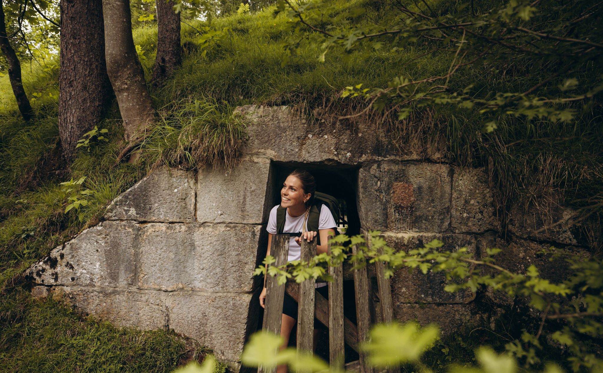
Following a route where numerous brine pipelines once ran—and in some sections still do—you’ll reach Gasthaus Gerstreit. Cross its beer garden and continue along Soleleitungsweg into the forest. At a sharp right-hand bend, cross Landtalgraben and hike along the foot of Söldenköpfl, at 1,022 meters, to Berggasthof Söldenköpfl. From here, descend to Bachmanngraben. After a short stretch on the paved road, keep left at the fork, leaving Soleleitungsweg and continuing toward Engedey.

Emerging from the forest, walk through a small settlement to Ramsauer Straße. Turn right, then after just a few meters turn left and cross the Ramsauer Ache. After the bridge, keep right and follow Brandweg for a short distance. After the first two houses, turn left. A gravel path climbs into the forest before leading across flower-filled meadows and through short stretches of woodland to the Hammerstiel hiking parking lot. Here, bear left into the forest.

Continue uphill alongside a small stream. The forest road leads to a fork, where you keep left and cross another small stream. The trail now climbs relatively steeply in switchbacks through idyllic mixed forest until the gravel road ends at Grünsteinhütte. From here, it’s well worth making a short detour to the summit of Grünstein for beautiful views across the valley and surrounding mountains.

To continue toward Schönau am Königssee, turn right and head back downhill. Along this section, look across to Grünstein from time to time—you can often spot climbers tackling the different routes of the via ferrata on its steep rock face. The hiking trail eventually becomes a gravel road known as Klingerweg and takes you directly past the famous Königssee bobsled and luge track. After passing the track, follow the edge of the forest on your left. After a few meters, you’ll reach and cross the Königsseer Ache.


Directions to the end of the stage:
After the bridge, turn right and follow the shore of Lake Königssee to Seelände, the boat landing area.

  • Bergerlebnis Berchtesgaden

    SalzAlpenSteig: Stage 8

    • 6:00 h
    • 20,1 km
    • 684 hm
    • Nature Trail
    • Hiking
  • SalzAlpenSteig: Stage 10

    • 6:30 h
    • 18,3 km
    • 696 hm
    • Nature Trail
    • Hiking