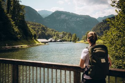
Today’s hike starts on the shore of Lake Königssee at the Schönau Tourist Information, with beautiful views across the lake and its wooden boathouses. Walk a short distance through the Bavarian village on the northern shore of Lake Königssee until you reach the Königsseer Ache. At the start of the trail along the eastern bank of the Königsseer Ache, pass a wooden weir and shortly afterward turn right into a residential area.
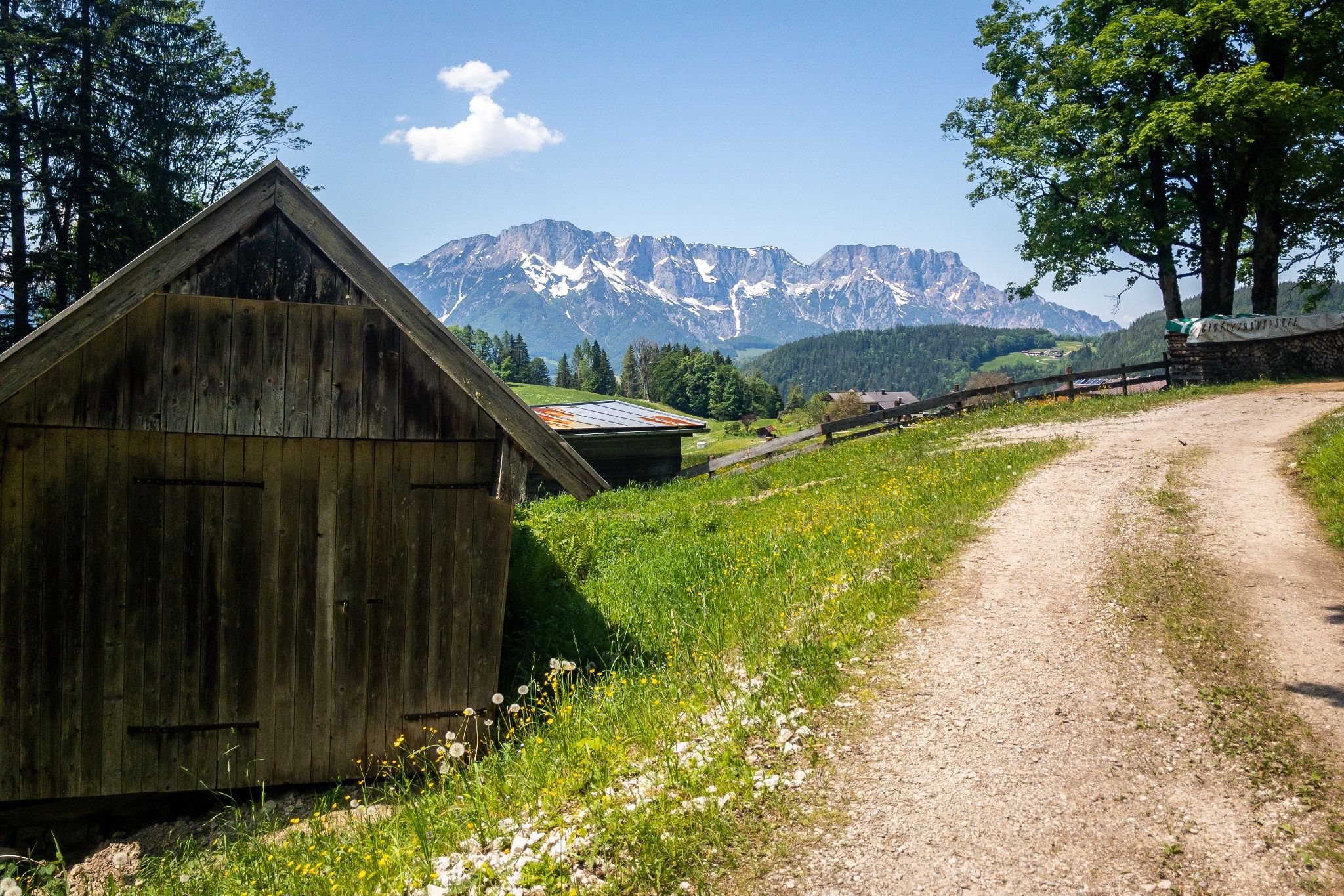
At Hotel Königsseer Hof, take the gravel path back toward the Königsseer Ache and follow the riverside path until you reach the main road and pass through the underpass. Looking east, you’ll enjoy views of some of Berchtesgaden’s most striking mountains: Kehlstein at 1,873 meters, famous for the Eagle’s Nest, Hoher Göll at 2,522 meters, and Jenner at 1,874 meters.
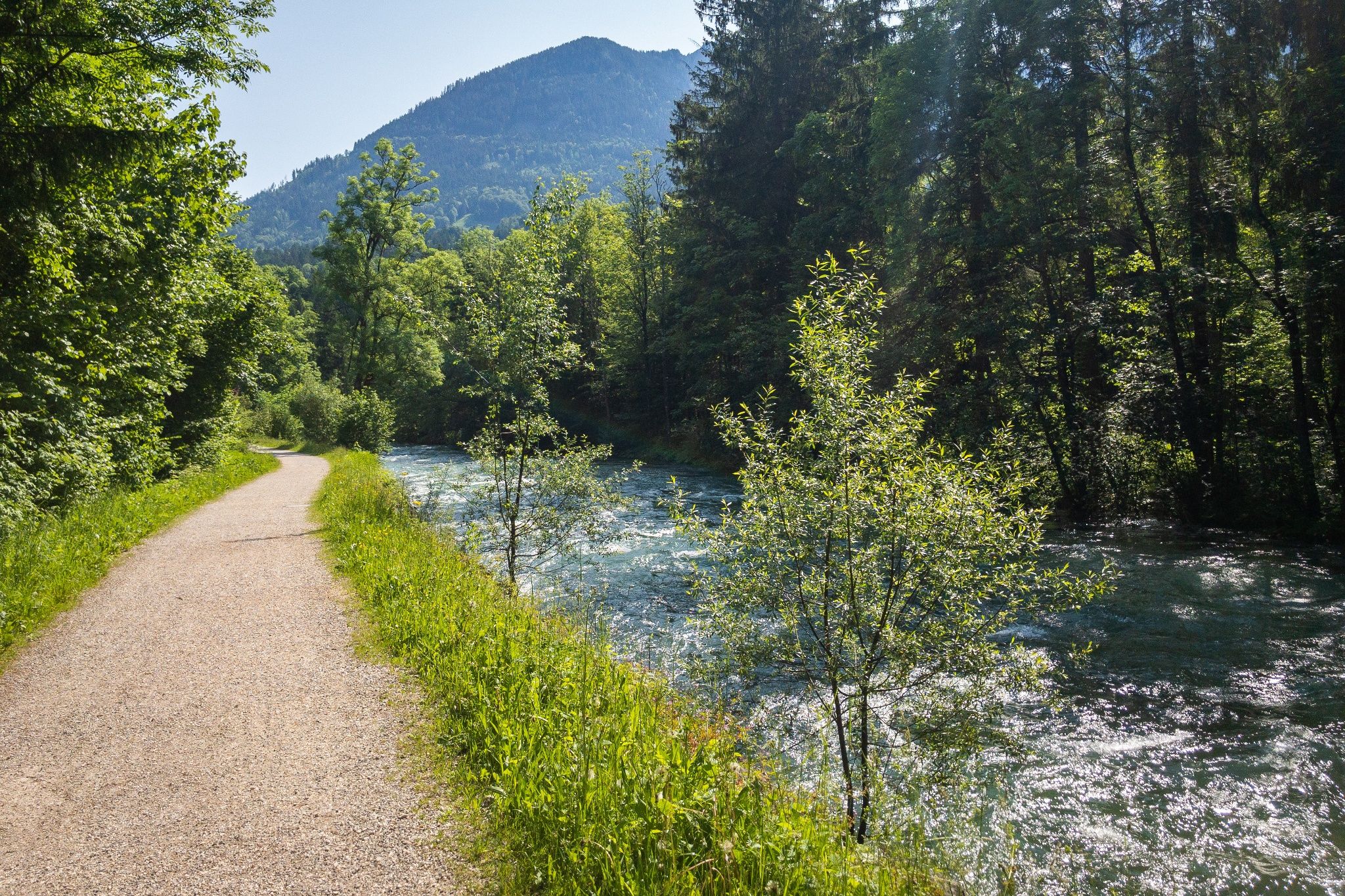
The SalzAlpenSteig continues alongside the rushing waters of the Königsseer Ache. Cross Krautkasergraben on a bridge and walk through a small residential area until the river joins you once again. At Achenstüberl, cross the Königsseer Ache and continue along its western bank until you reach the road. Turn right and follow the road to the left-hand bend, where a trail branches off half-right on the western bank of the Königsseer Ache.
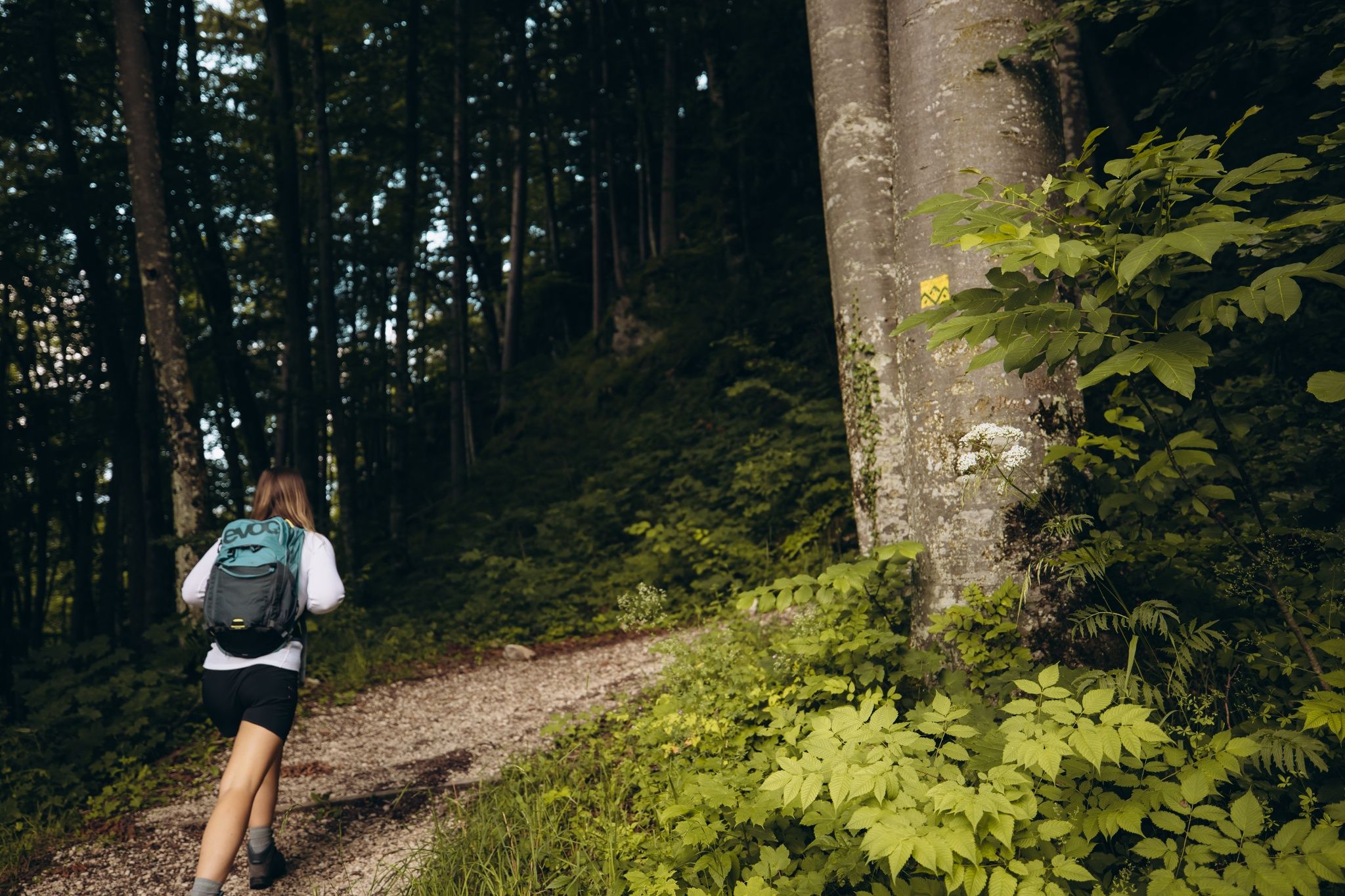
Continue for a while until you reach the bridge to Café Waldstein. Do not cross the bridge. Instead, turn right onto the main road and, after about 50 meters, turn left into the forest. Keep right at the next junction and follow the trail toward Bergfriedhof. Just before reaching the cemetery, turn right and descend the switchbacks toward Berchtesgaden and Unterstein, bringing you back to the Königsseer Ache. After a few meters, you’ll reach a supermarket. Cross the Königsseer Ache in front of it on the historic Triftsteg bridge.
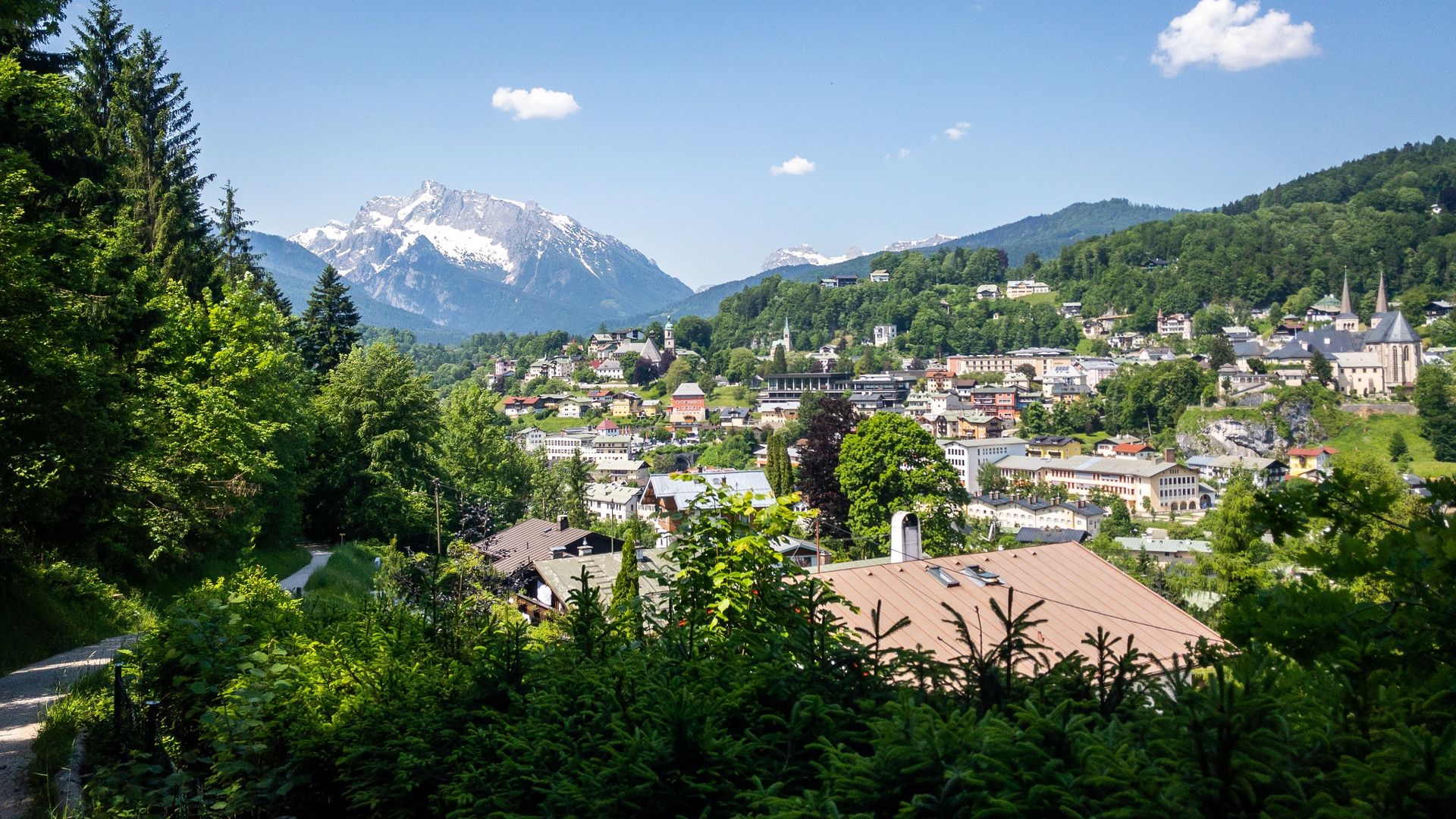
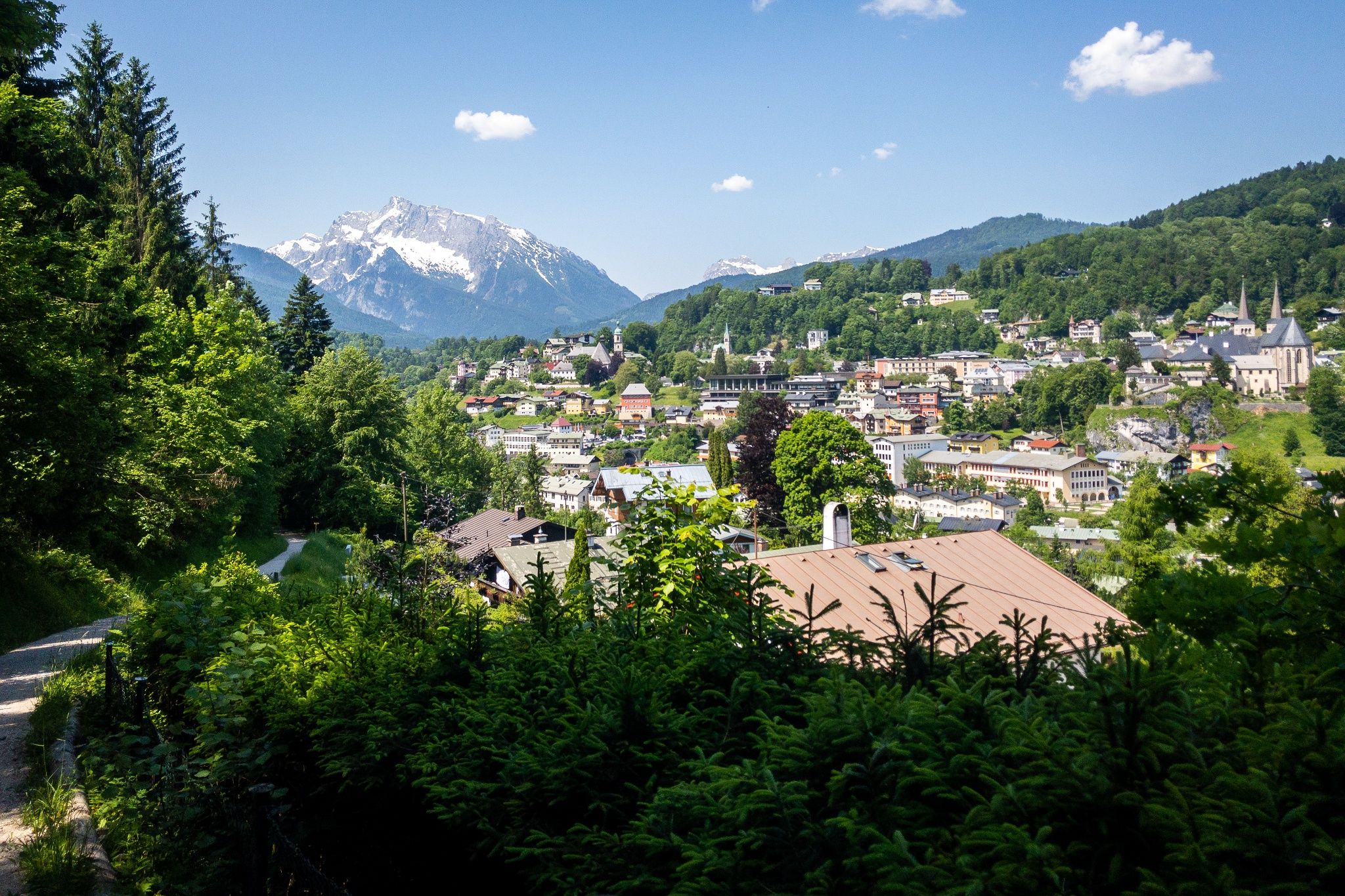
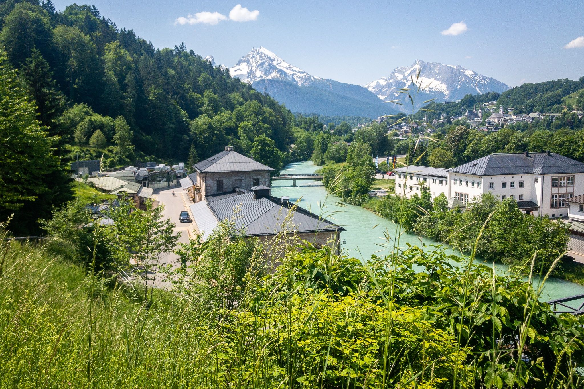
Continue gently uphill through the outskirts of Berchtesgaden until you reach the B20. After the large orange traffic sign, turn right and follow Hedwigsteig east toward the Berchtesgaden Salt Mine. Ignore the next turnoff and continue straight through the forest. After a few minutes, you’ll emerge from the trees to enjoy a beautiful view of Berchtesgaden.
Before reaching Unterherzogberg, bear right and follow another scenic woodland trail crossed by small streams. Cross the B319 and immediately continue into the forest on the opposite side. At the stream, turn left and continue to Kranzbichl. In Kranzbichl, follow the signs toward the Berchtesgaden Salt Mine. A pleasant hillside trail takes you past Watzmann Therme before you reach the turnoff for the salt mine. If you’d like to visit the Berchtesgaden Salt Mine, turn left here. The main stage, however, continues in the opposite direction.
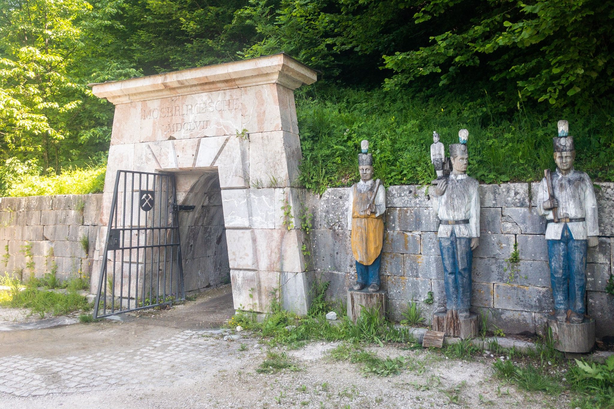
The trail now passes Moserrösche, a 350-year-old mining tunnel. A little farther on, around the bend, you’ll reach Pulverturm, home to the so-called Bergmandl. Cross the road toward Obersalzberg and follow the next signpost on your left across the meadow. From here, the trail climbs steeply toward Oberau/Rottl Sepp. Pass a chapel and, after Mausbichl, follow the gravel forest road at a relatively steady elevation until you reach an intersection. Continue straight onto a paved path.
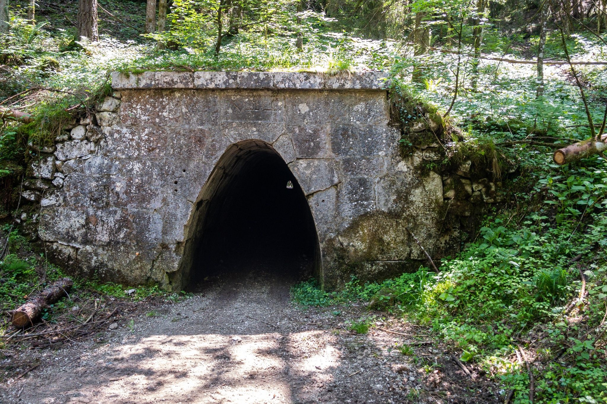
Just beyond Brunnerhof, which lies below the trail, Berchtesgadener Stollenweg begins. This fascinating section takes you through tunnels carrying a water pipeline used to support power generation at the Berchtesgaden Salt Mine. After passing through the tunnels, continue toward Oberau, cross Larosbach on a metal bridge, and eventually reach Hofreitgut. Behind Hofreitgut, turn left into the meadow and continue straight until a wide left-hand bend brings you to the B319. After the road bridge, turn right onto a trail leading into the forest. From here, climb steeply for several hundred meters of elevation gain until you reach Auergütl.
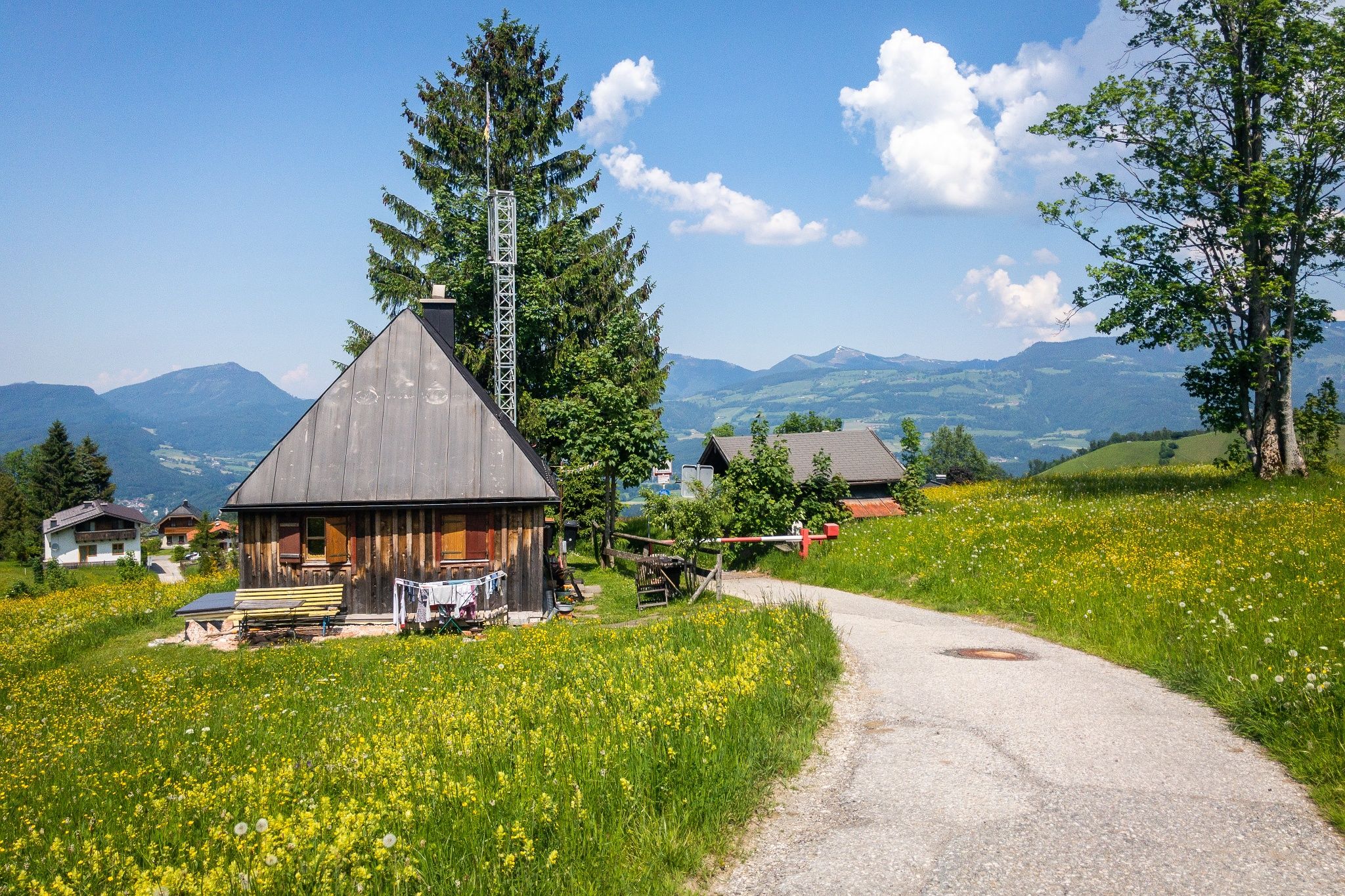
At the saddle, follow the signs toward the toll station on Rossfeld, crossing a short section of cow pasture along the way. After another climb, you’ll finally reach the highest point of your hike. Follow the signs toward Gmerk and descend gently along a forest trail. In Gmerk, turn onto Rumpelgasse at Rottenlift and cross the German-Austrian border at the old tollhouse.
Directions to the end of the stage:
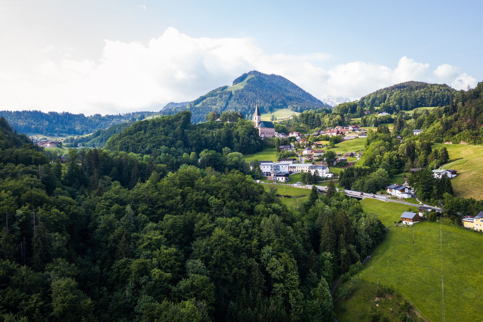
In the next settlement, turn right once more and descend to the Zinken lift station. You’ve now reached the outskirts of Bad Dürrnberg. Continue north through the village, where you can stop at one of the local restaurants or cafés or visit the large pilgrimage church, Celtic Museum, or salt mine. Bad Dürrnberg Tourist Information is also located here, marking the end of your hike.