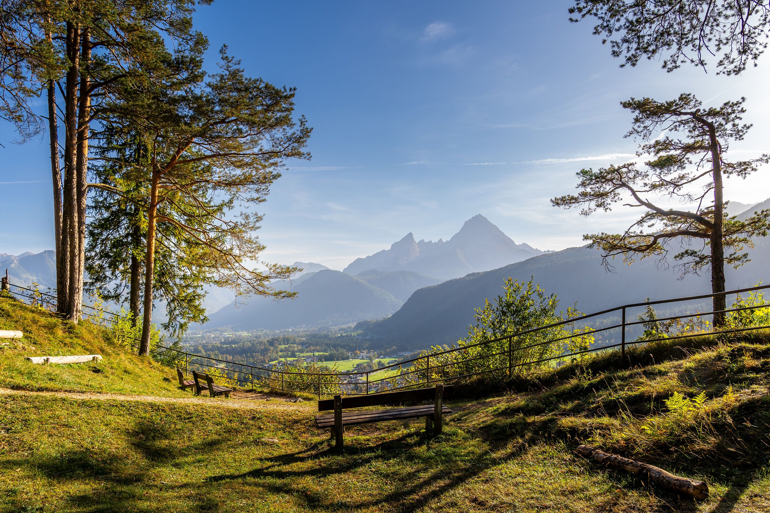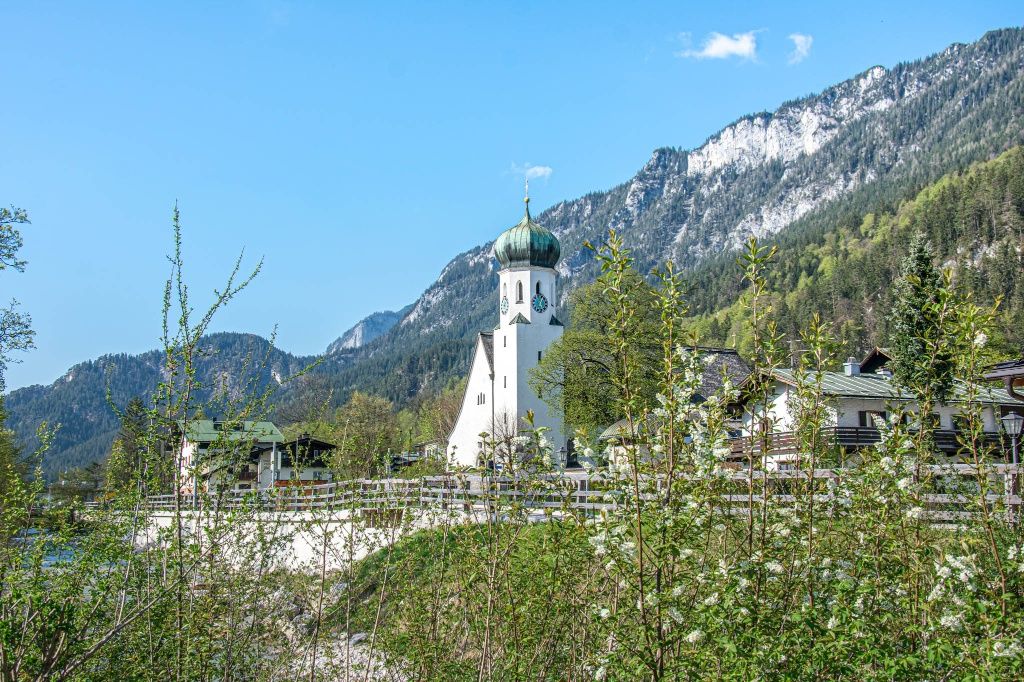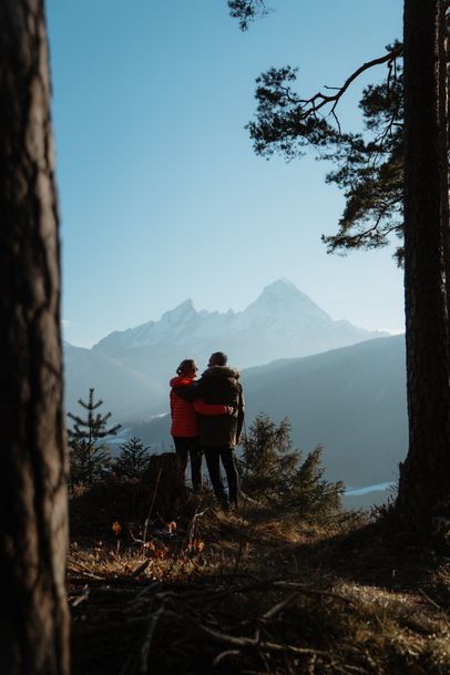
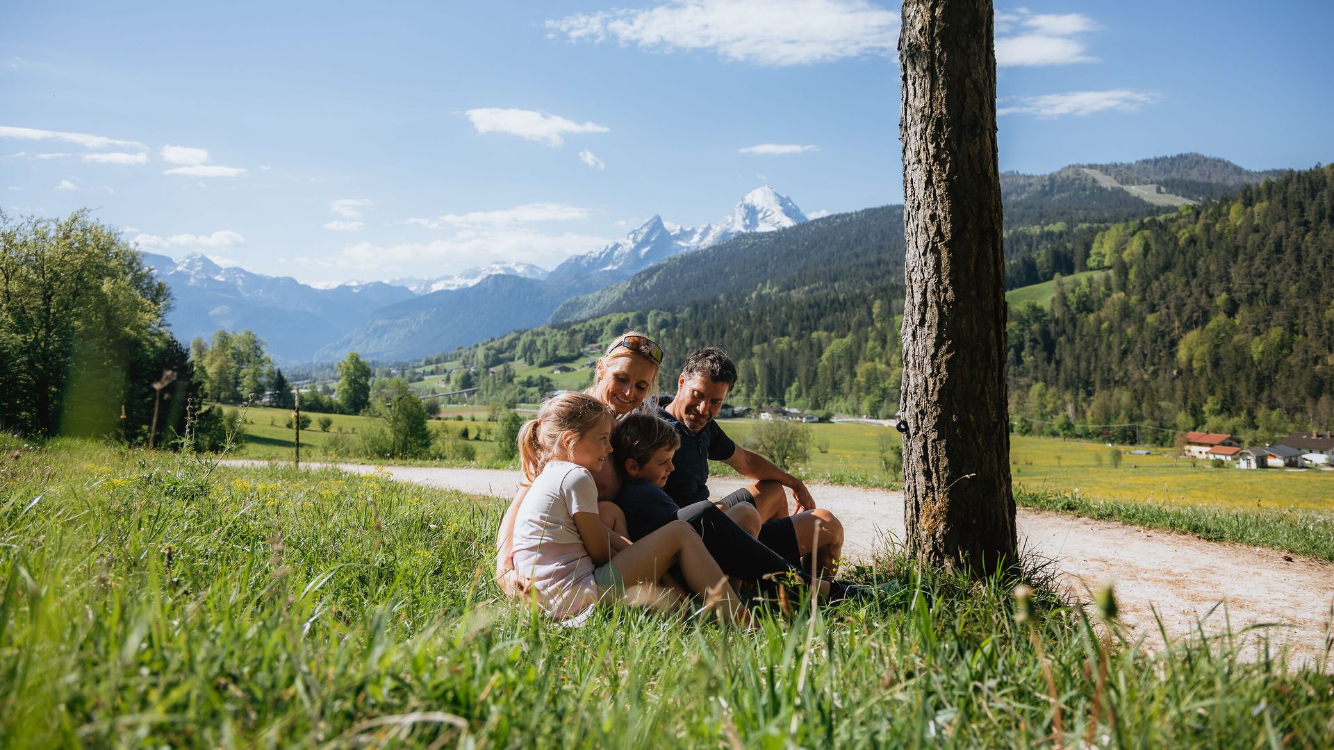
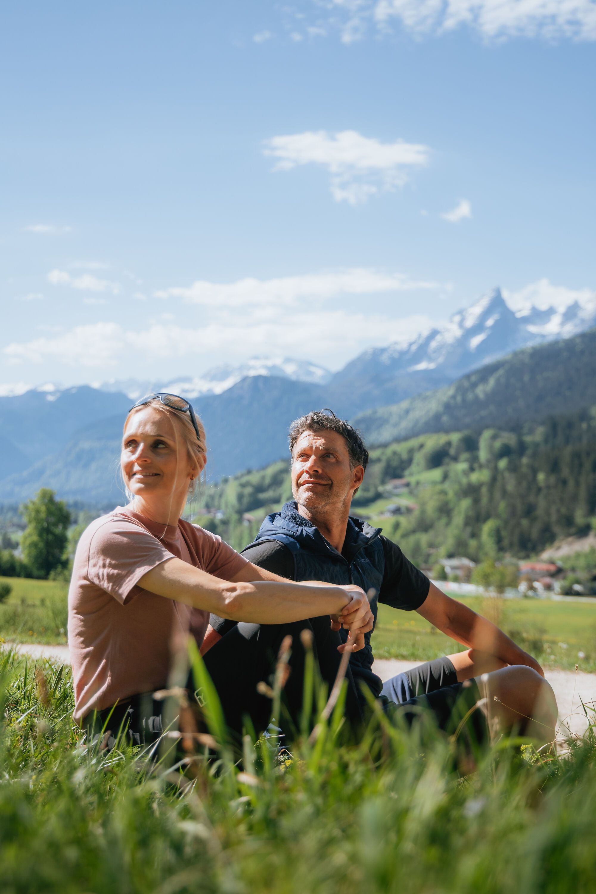
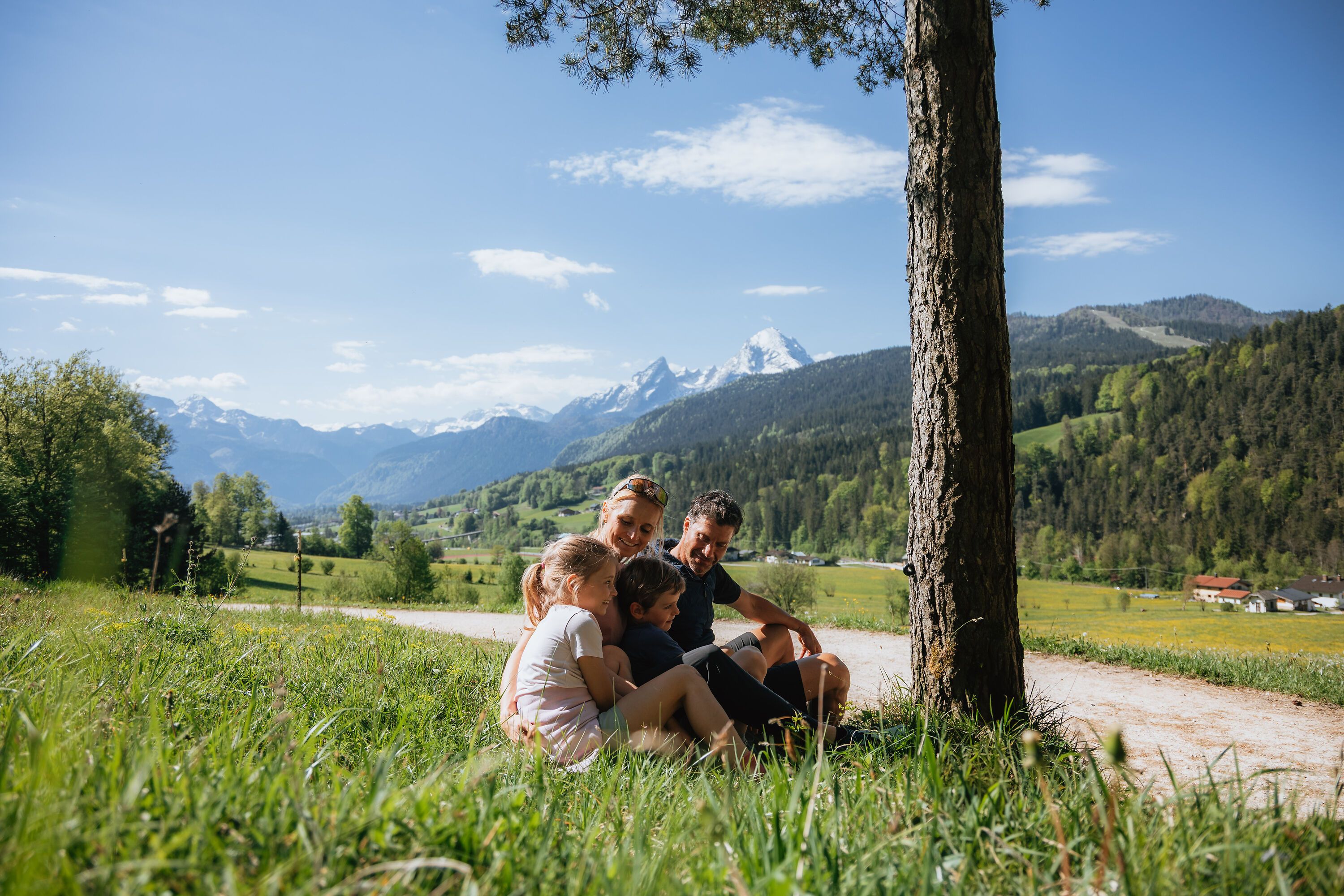
View of the Watzmann from the Reitweg Trail
Bergerelebnis Berchtesgaden

Maximilians-Reitweg

Hiking like royalty
  • Hiking route
  • Hiking
  • 3:30 h
  • 11,8 km
  • 350 hm

The Maximilians-Reitweg runs almost level along the foot of Untersberg above Bischofswiesen, leading from the Aschauerweiher hiking center to the historic fortified tower at Hallthurm pass.

The Maximilians-Reitweg is an easy, scenic hiking trail between the Aschauerweiher natural swimming area and Hallthurm. As far as Winkl, it follows a wide, well-maintained path through the Bischofswiesen valley. Named after Bavarian King Maximilian II, the former bridle path takes you through the forest over gently rolling terrain. At several points, you can descend to bus stops along Bundesstraße 20 and shorten your hike.

The Maximilians-Reitweg connects numerous starting points for mountain tours on Untersberg. Combine it with the Bischofswiesen Panorama Trail to create a loop around Bischofswiesen. For a short detour to Kastensteinerwand, climb an additional 130 meters and enjoy magnificent views across the village. Along the way, you’ll also catch glimpses of the classic silhouette of Watzmann and its seven “children.”
Route details

  • Difficulty
    easy
    Duration3:30 h
    Distance11,8 km
    Ascent350 hm
    Descent335 hm

    Fitness level1/6
    Difficulty1/6
    Landscape3/6
    Experience3/6

J F M A M J J A S O N D

Directions

The Maximilians-Reitweg follows an easy, mostly level route along the foot of Untersberg to Hallthurm. On the sunny side of Bischofswiesen, you can enjoy a leisurely hike with little elevation gain. Bavarian King Maximilian II once traveled this route himself—though, as the trail’s name suggests, he did so on horseback. The wide trail ends at Hallthurmer Moos. Here, at the narrowest point between the Lattengebirge and Untersberg, an old fortified tower recalls the former border between Berchtesgaden and Bad Reichenhall. Just a few meters farther on, public bus 841 takes you back to Bischofswiesen.

The Maximilians-Reitweg is part of both the Berchtesgaden–Salzburg long-distance Alpine trail and the Maximiliansweg, which runs from Lake Constance to Lake Königssee. At Hallthurm, the pass marking the southern boundary of the Berchtesgaden region, a wide trail leads past Hallthurmer Moos toward Winkl. Continue above the village of Winkl toward Bischofswiesen. At Kastensteinerwand, a short detour to the viewpoint is well worth it. Take a moment to enjoy the impressive view across Bischofswiesen all the way to Watzmann. Finally, the trail continues to Aschauerweiher, a natural swimming area in summer and a cross-country skiing center in winter.

  • Bischofswiesen Fairy-Tale Trail

    Bischofswiesen
    • 45 m
    • 2,7 km
    • 48 hm
    • Nature Trail
    • Hiking
  • Bergerlebnis Berchtesgaden

    Kastensteinerwand

    Bischofswiesen
    • Open at all times