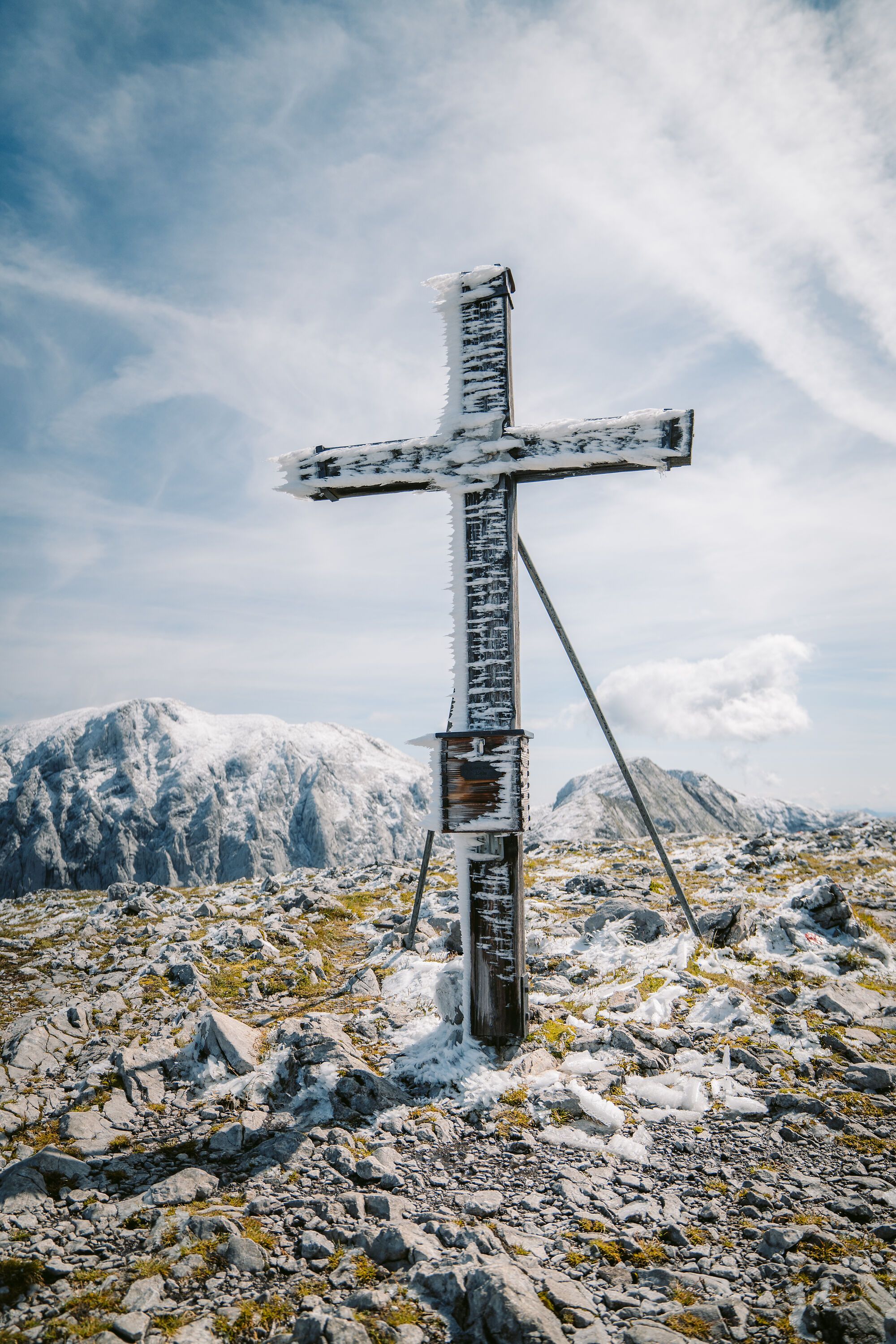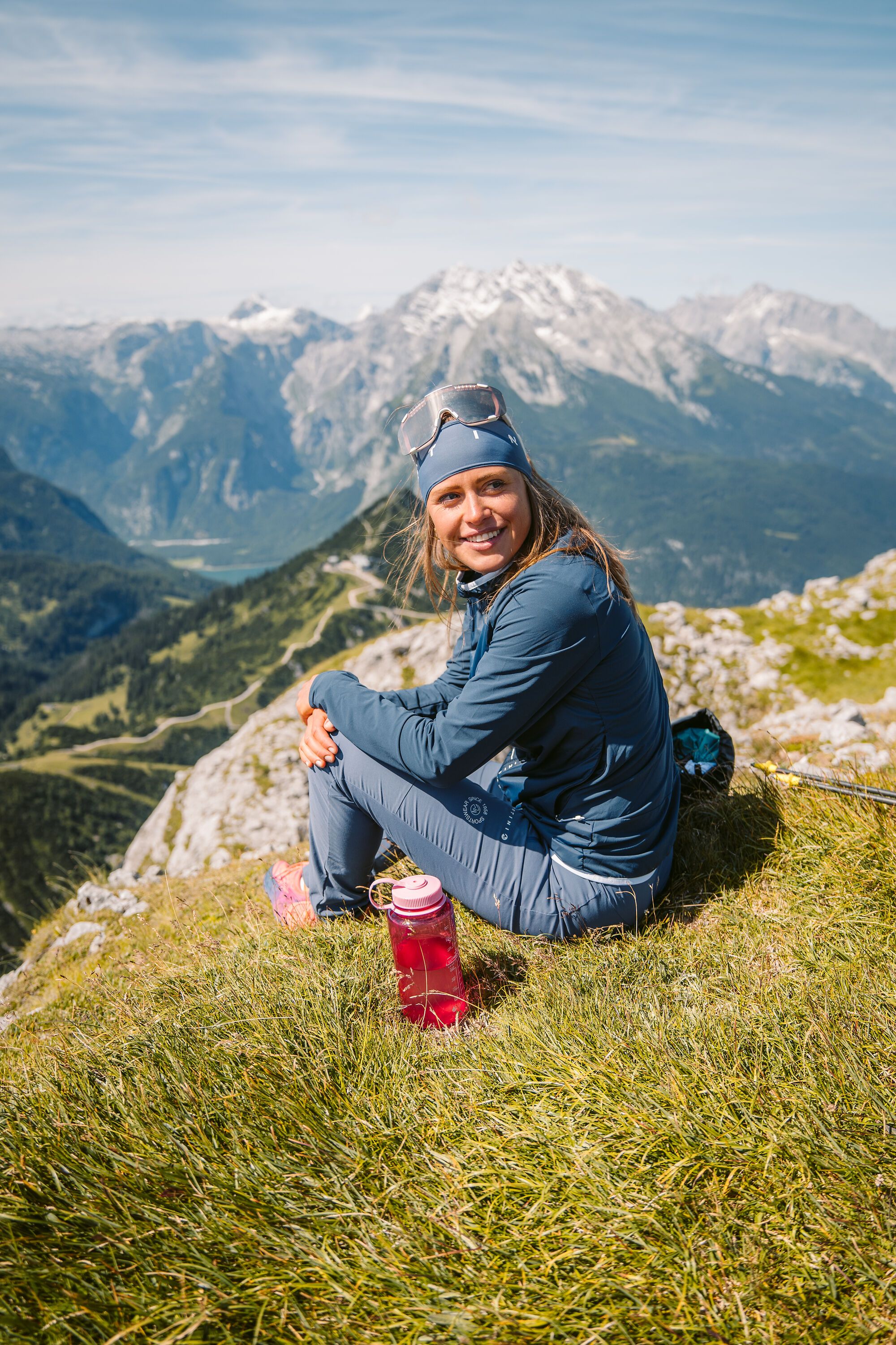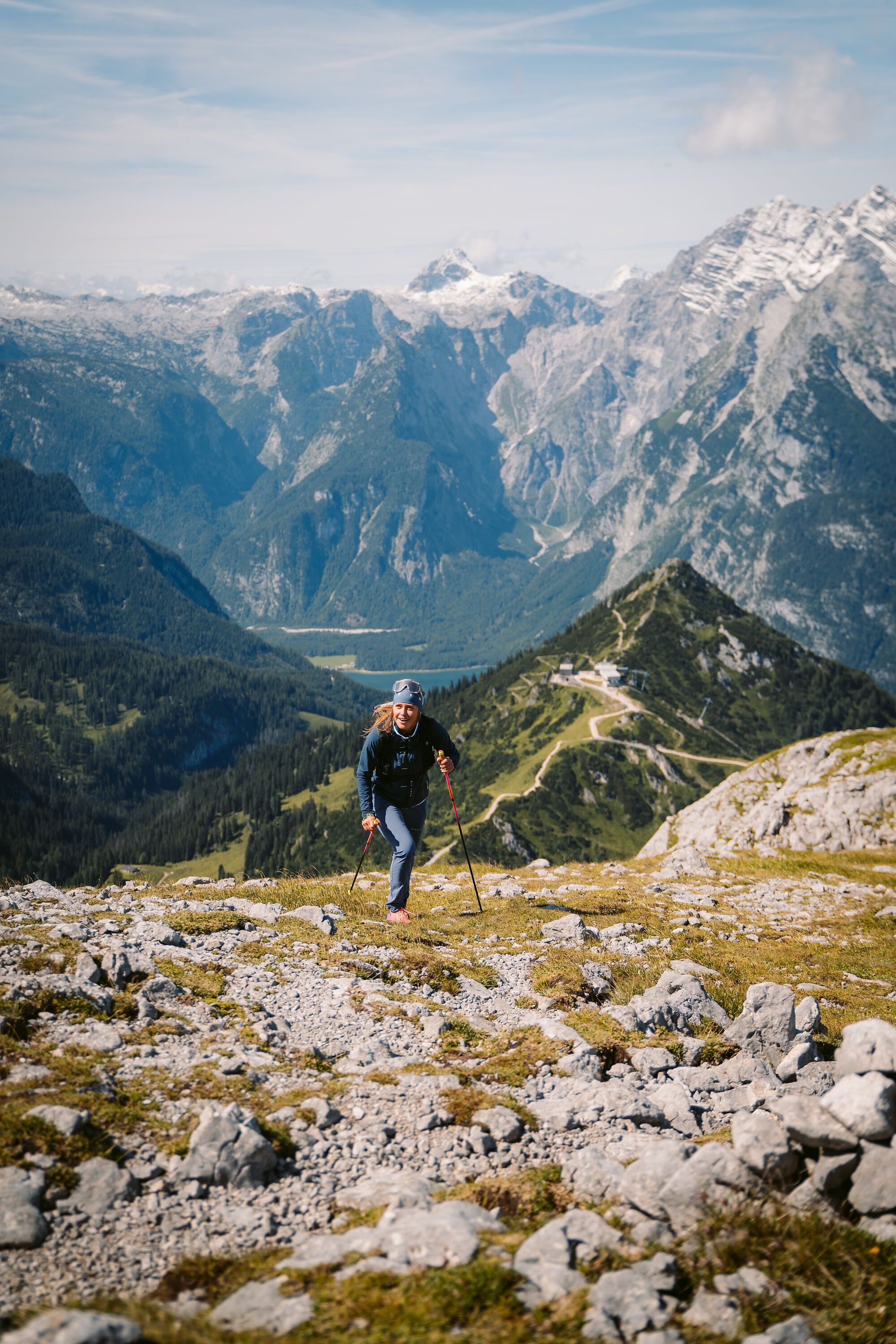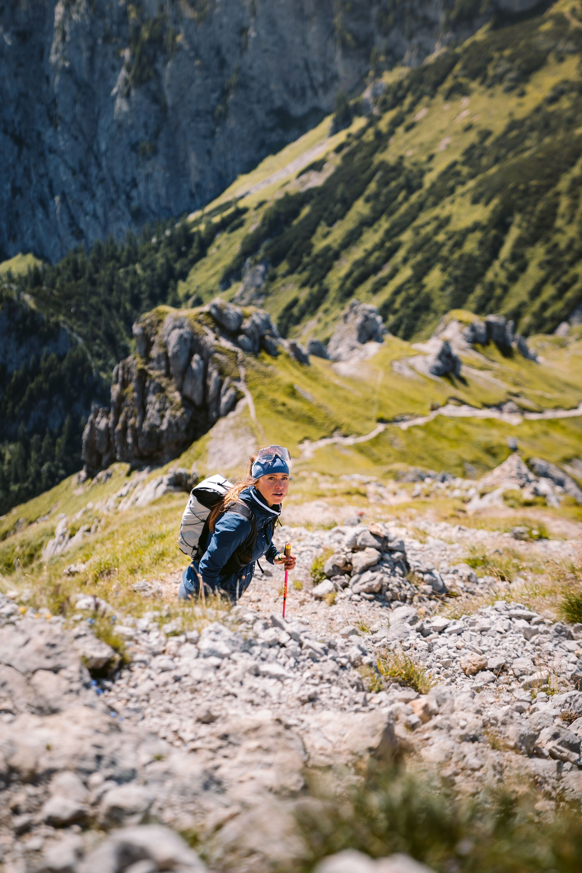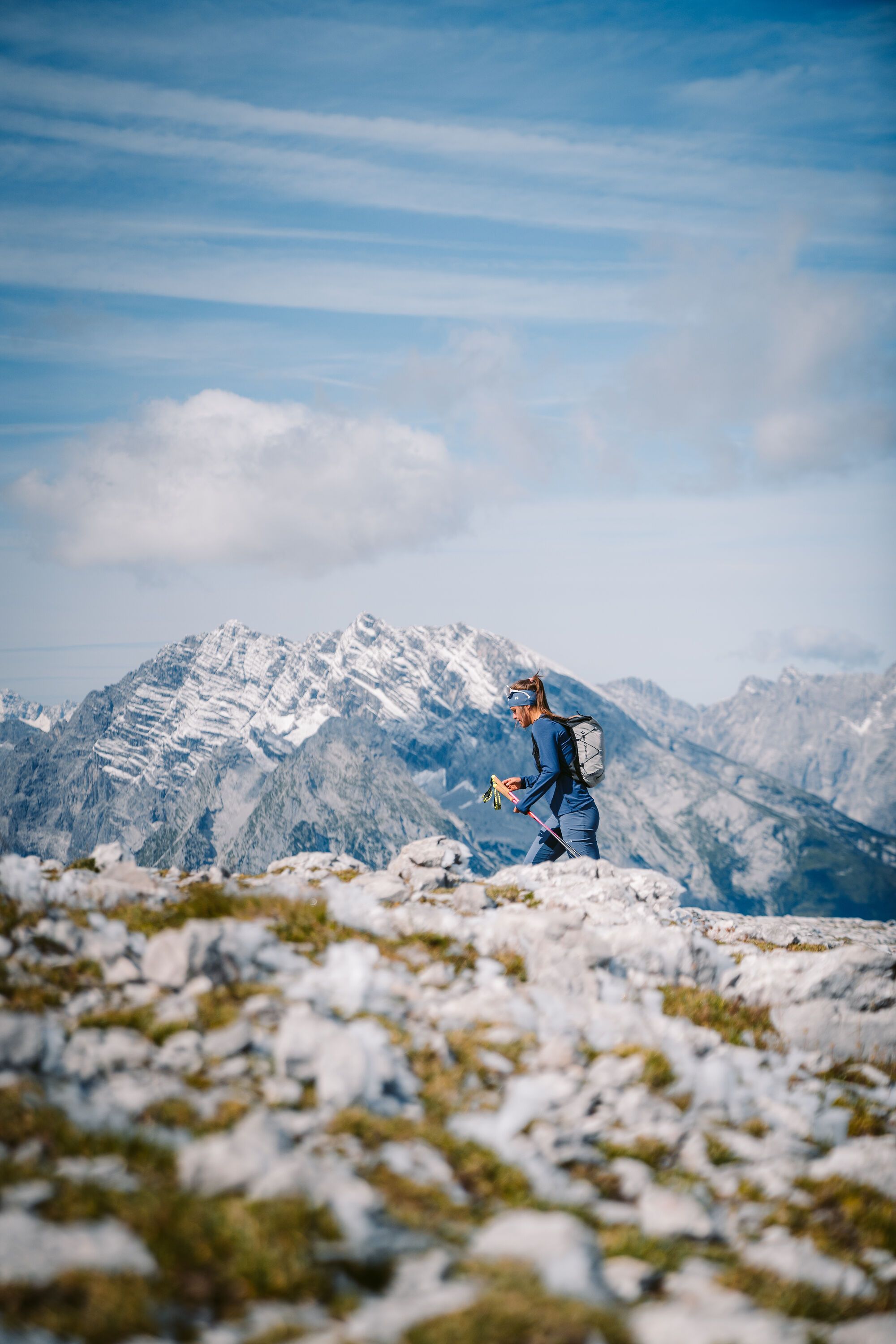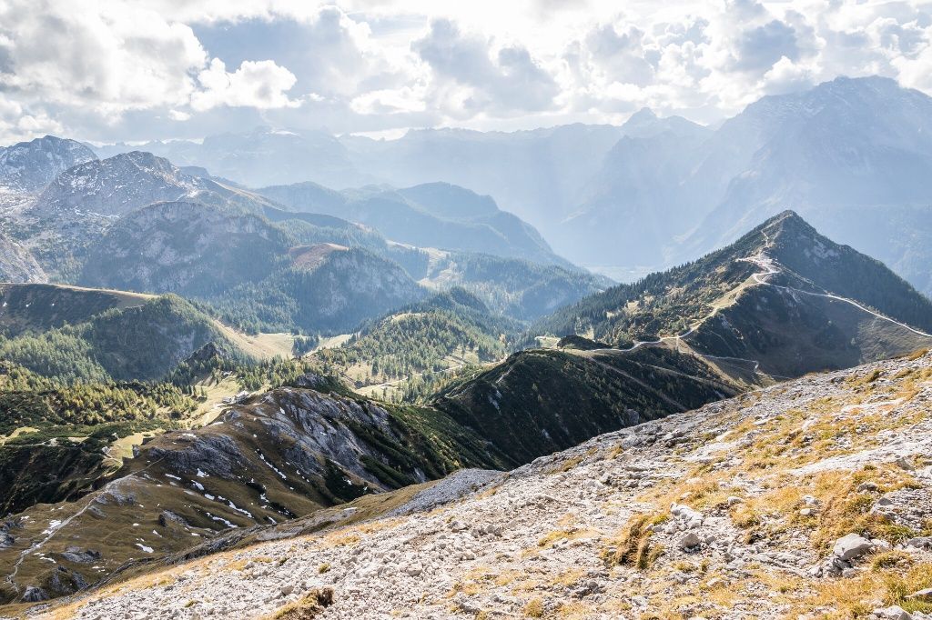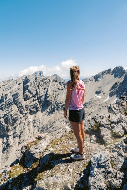
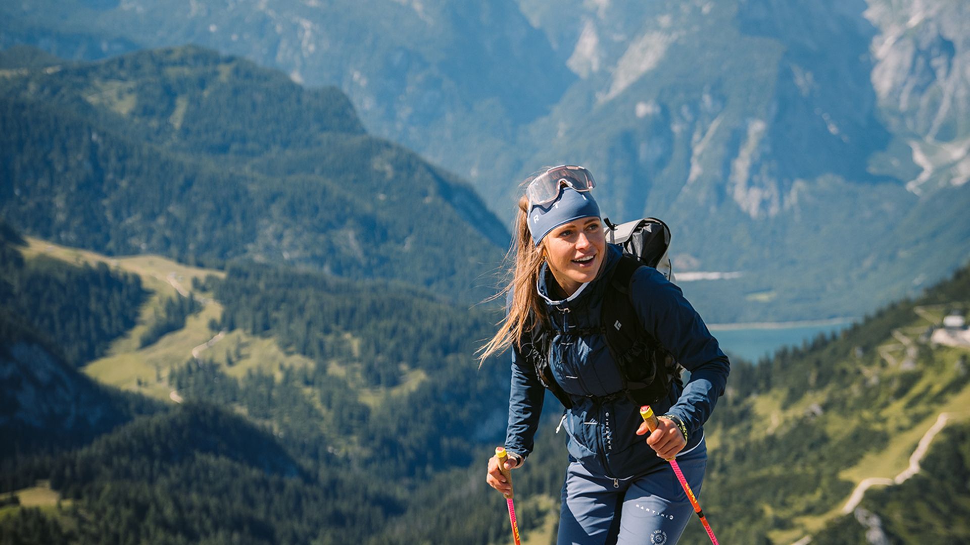
The mountain hike to the Hohe Brett is a relatively secluded classic not far from the Jenner
Bergerlebnis Berchtesgaden

Alpine hike to Hohes Brett, 2,340 meters

A classic away from the crowds
  • Mountain Hike
  • Mountaineering
  • 8:00 h
  • 15,3 km
  • 1283 hm

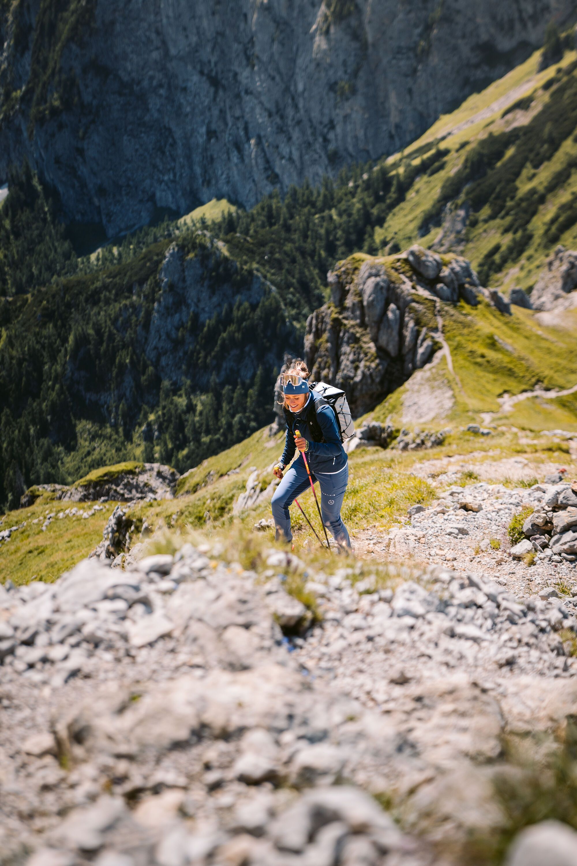
The hike up to Hohes Brett is a relatively secluded classic not far from Jenner. Along the way, several mountain restaurants and huts invite you to stop for a well-deserved break—the perfect opportunity to take a relaxing break during your hike.

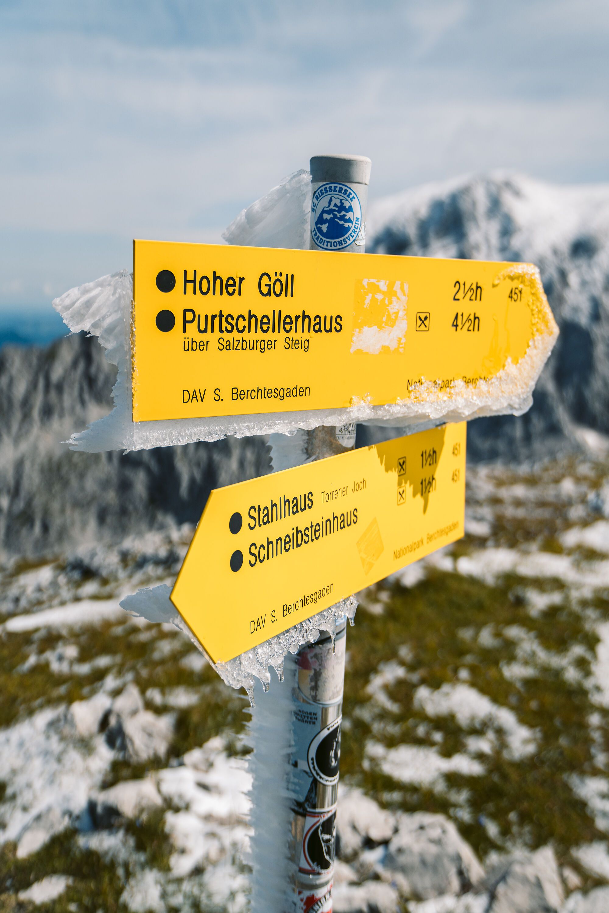
On the standard route, you’ll hike over Jenner and past Carl-von-Stahl-Haus at the Torrener Joch on a challenging ascent to Hohes Brett. If you take the Jennerbahn cable car up and start at the summit station, you can reach the summit of Hohe Brett in about three hours.
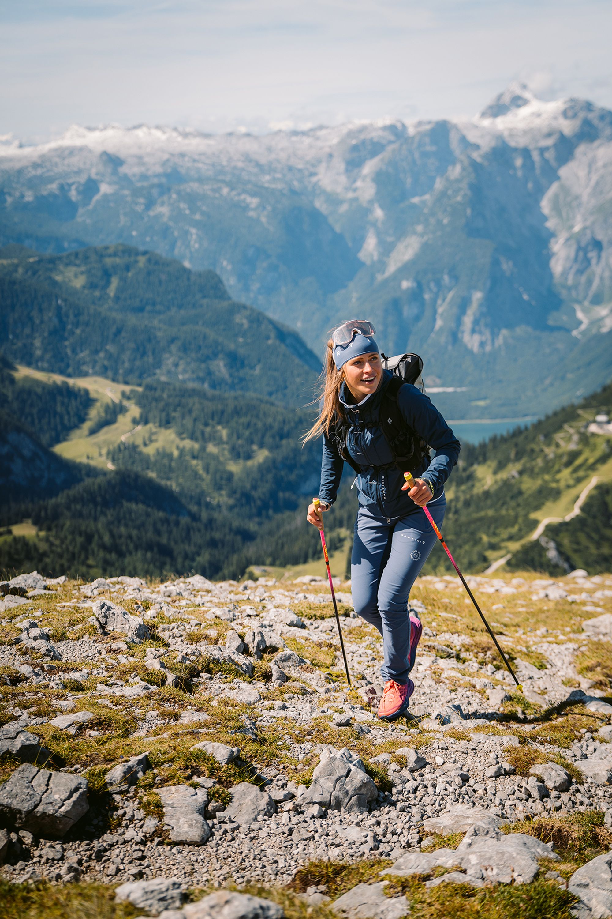
Route details

  • Difficulty
    hard
  • Start point

    Hinterbrand parking lot

  • Destination

    Hinterbrand parking lot

    Duration8:00 h
    Distance15,3 km
    Ascent1283 hm
    Descent1283 hm

    Fitness level5/6
    Difficulty3/6
    Landscape6/6
    Experience6/6

J F M A M J J A S O N D

Up to Jenner, the route is a relatively easy alpine hike. The traverse to Hohes Brett is more challenging, with straightforward rocky sections secured with cables.

Directions

The starting point for the alpine hike to Hohes Brett is the Hinterbrand hiking parking lot. From there, follow the trail toward the Jennerbahn middle station. At the beginning of Krautkaserfeld, turn left and climb the steep, winding trail uphill. Pass the alpine pasture hut at Krautkaseralm and continue up to Hohlweg, then follow it to Klaus Maxei at Mitterkaseralm.

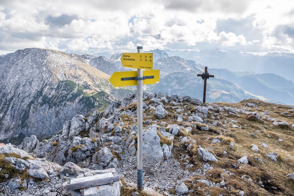
Cross the Mitterkaserkessel and climb via Jennersattel toward Carl-von-Stahl-Haus. Beyond Carl-von-Stahl-Haus, the terrain becomes increasingly alpine. A short detour to the 1,837-meter summit of Pfaffenkegel is well worth it and makes a memorable highlight of your hike. From there, continue steeply uphill over rocky terrain. The more challenging sections are secured with steel cables. After passing Jägerkreuz at an elevation of around 2,200 meters, you reach easier terrain once again.

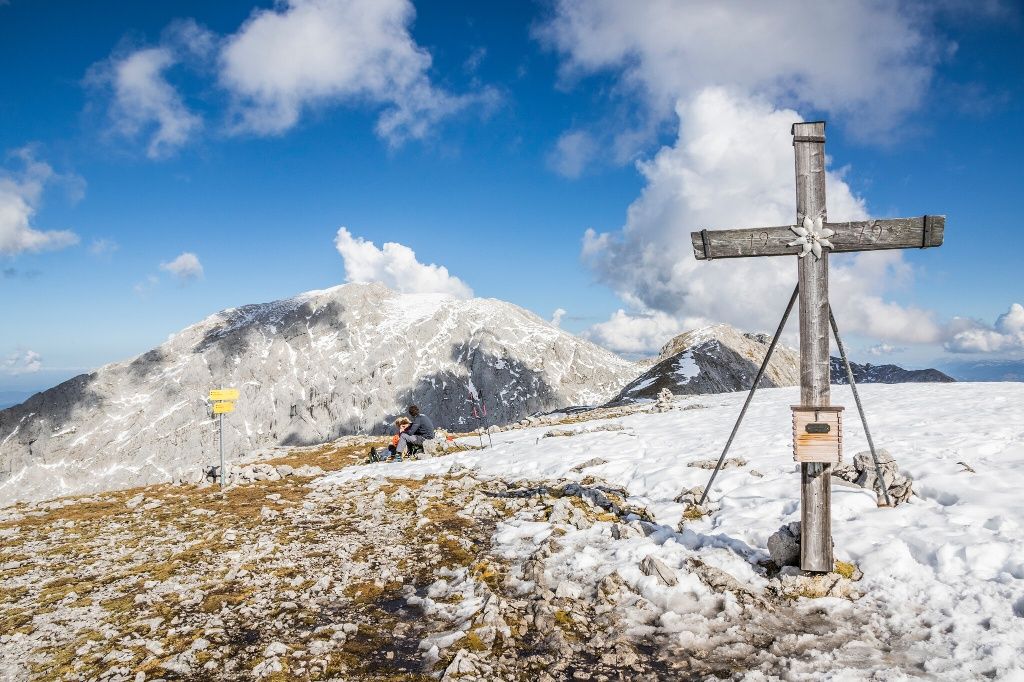
Continue climbing along the gently rising mountainside until you reach the summit of Hohes Brett at 2,340 meters.

For the descent, either retrace your route to the hiking parking lot or descend via Schneibsteinhaus and Königsbachalm.

  • Hiking Trip to the Schärtenspitze
    Bergerlebnis Berchtesgaden

    Schärtenspitze, 2,153 meters

    Ramsau
    • 9:00 h
    • 13,6 km
    • 1420 hm
    • Mountain Hike
    • Mountaineering
  • View from the Kammerlinghorn toward Hocheis
    Bergerlebnis Berchtesgaden

    Kammerlinghorn, 2,484 meters

    Ramsau
    • 10:00 h
    • 20,8 km
    • 1542 hm
    • Mountain Hike
    • Mountaineering