Bergerlebnis Berchtesgaden

Högl loop trail

A scenic loop around Högl
  • Hiking route
  • Hiking
  • 5:00 h
  • 12,1 km
  • 347 hm

An ideal, well-marked route for walking and running around the distinctive Högl ridge.

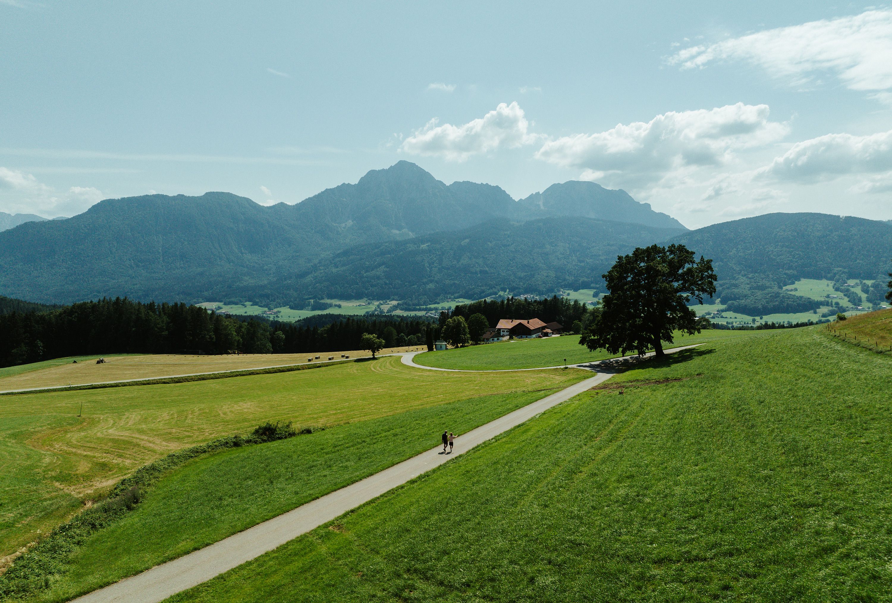
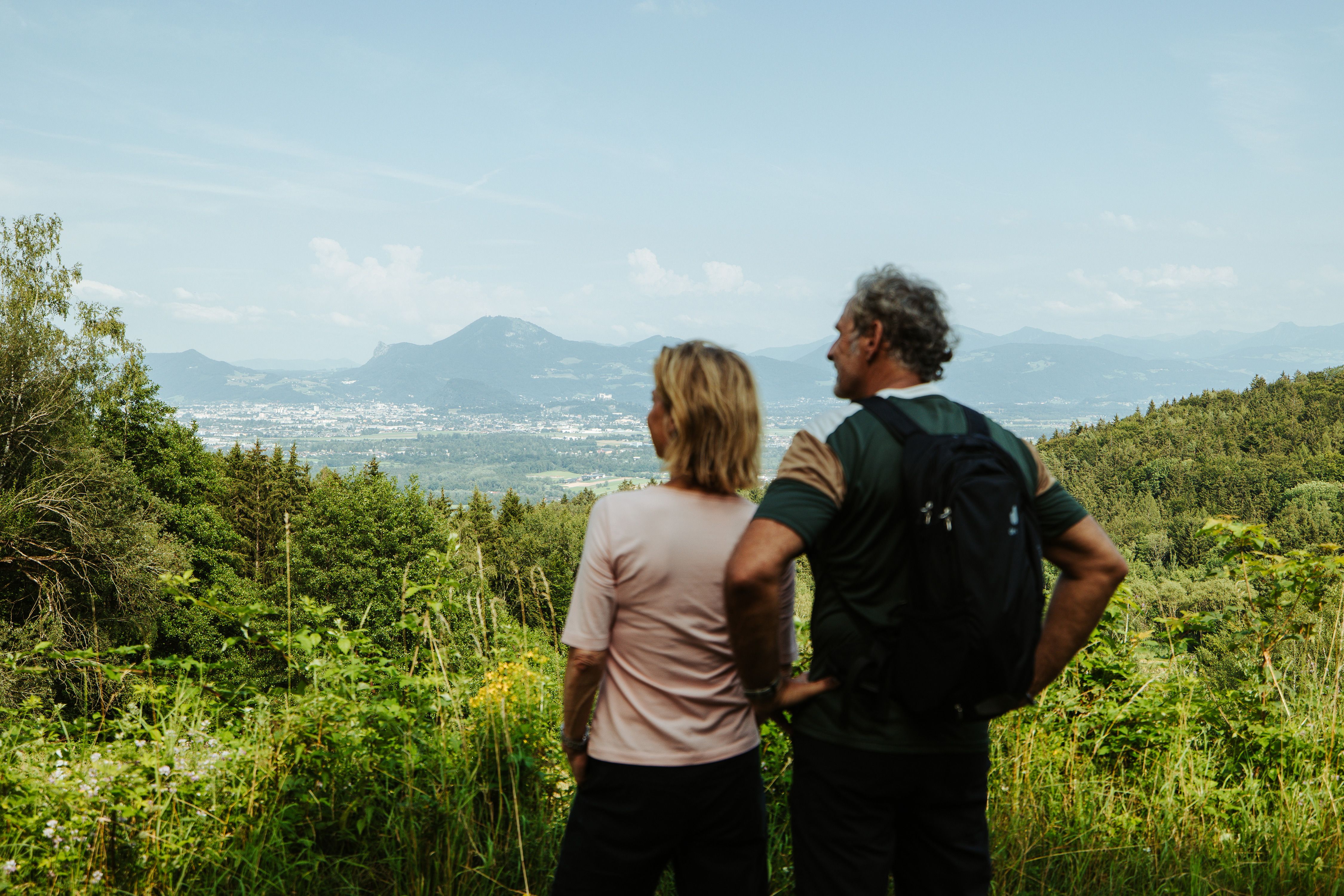
Your hike starts at the Högler Straße hiking parking lot in Piding. The Högl ridge rises along the left bank of the Saalach river to an elevation of 827 meters. Along the way, you’ll find several places to stop for refreshments. Discover the “Haasen-Taferl,” a lovingly restored wayside monument, and the Högl quarry. Throughout the loop, you’ll also enjoy magnificent panoramic views of the Berchtesgaden mountains.

Route details

  • Difficulty
    intermediate
  • Start point

    Högler Straße, Piding

  • Destination

    Högler Straße, Piding

    Duration5:00 h
    Distance12,1 km
    Ascent347 hm
    Descent347 hm

    Fitness level2/6
    Difficulty2/6
    Landscape4/6
    Experience4/6

J F M A M J J A S O N D

Watch out for cyclists—on Högl, hikers and cyclists share some of the same trails.

Directions

Your hike around Högl begins on Panoramaweg, west of Högler Straße, heading toward Anger. With beautiful views of Fuderheuberg and Hochstaufen, you follow the edge of the forest past Gasthaus Sonnenhang to Moosbacherau. From there, continue via Prasting to Strobl Alm. After about two hours, you’ll be rewarded with spectacular views of the surrounding mountains stretching all the way to Steinernes Meer.

From Strobl Alm, hike through the forest past the lovingly restored “Haasn-Taferl” wayside monument and Högl quarry to Neubichler Alm. Continue to Johannishögl, home to a restaurant and church, where a magnificent view of Salzburg awaits. From Johannishögl, descend to Rohrbrunner Straße and follow it back to your starting point.

  • View from the Neubichler Alm toward the Johannishögl
    Bergerlebnis Berchtesgaden

    Johannishögl

    Piding
    • Closed now
  • Neubichler Alm

    Piding
    • Open today