

Mitterkaseralm on Watzmann
Staffed alpine hut in the Watzmann massif- Ramsau
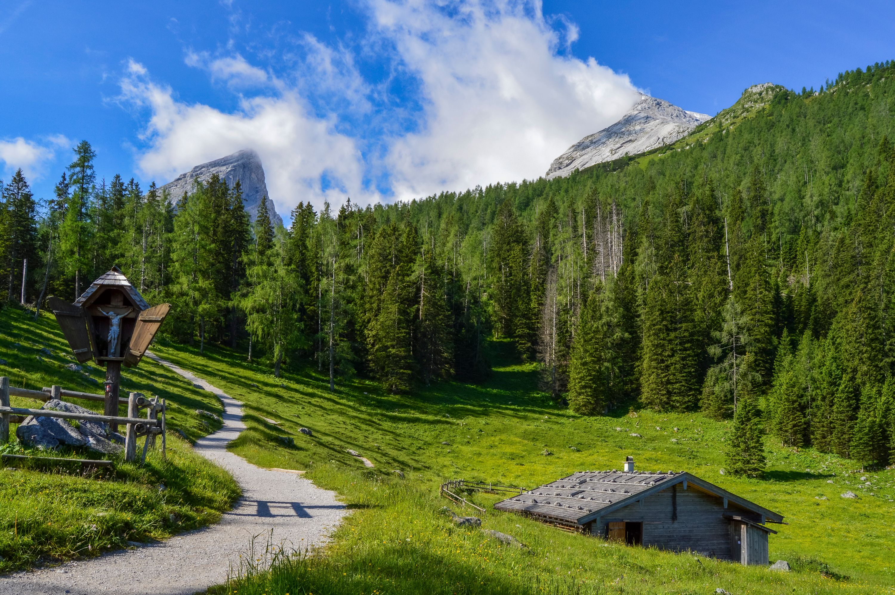
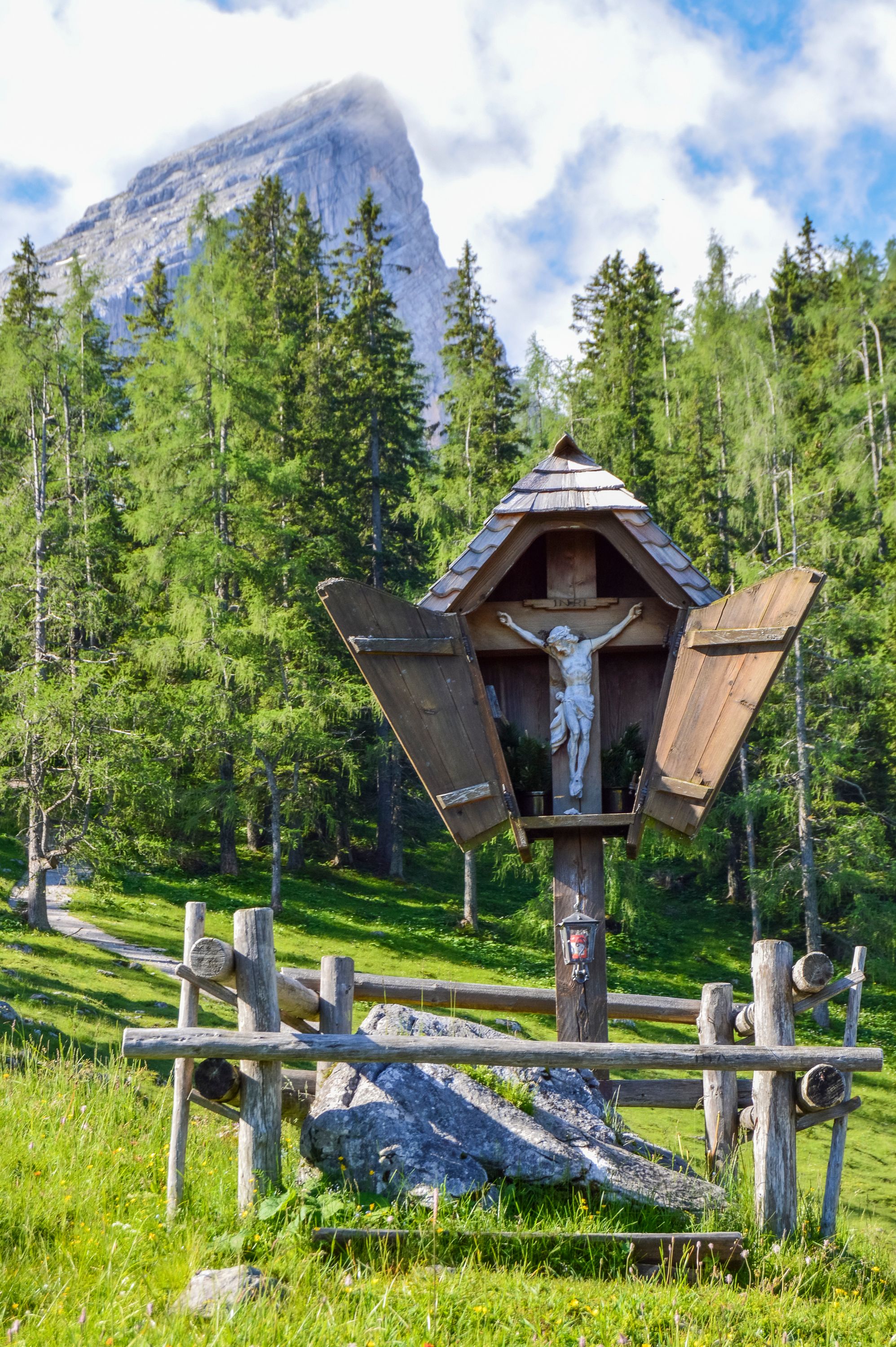
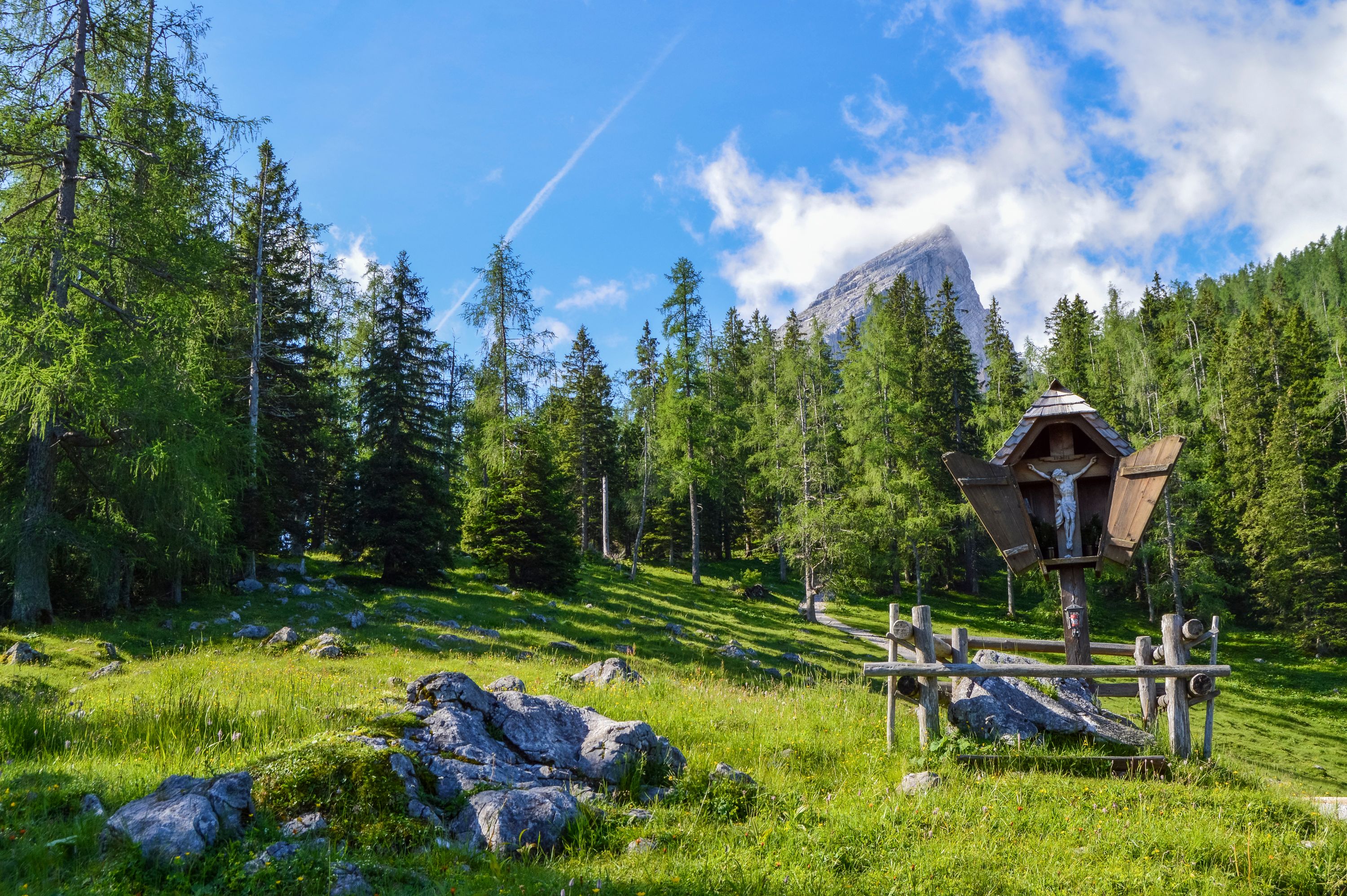
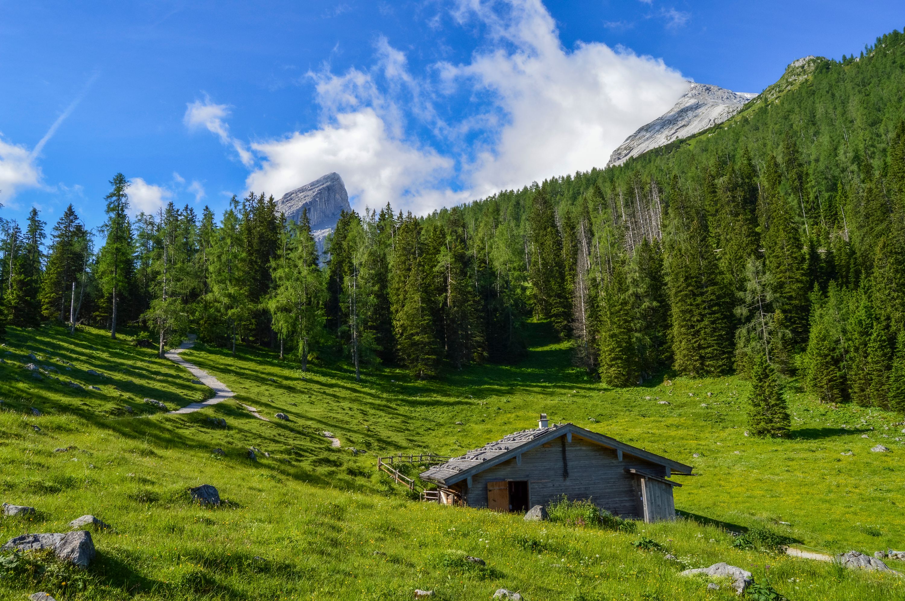
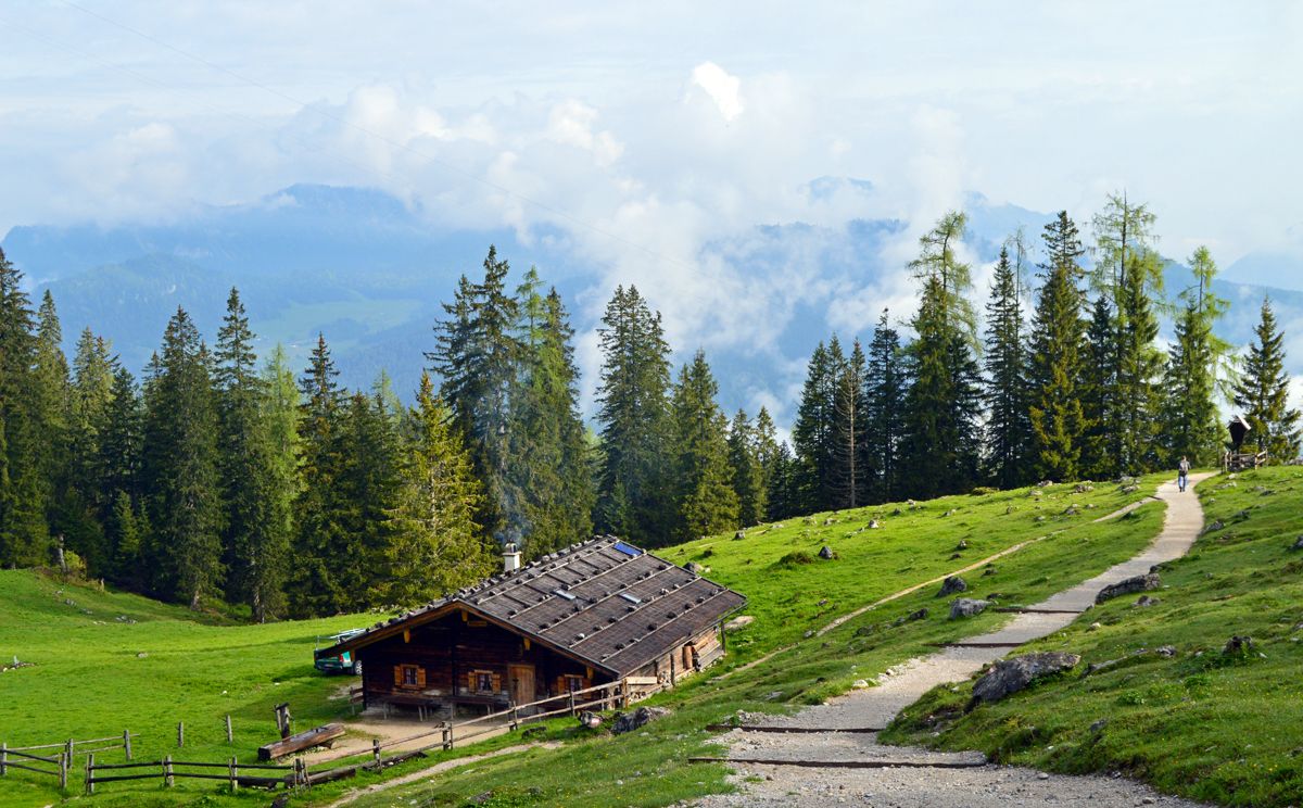
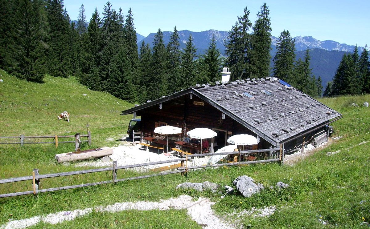
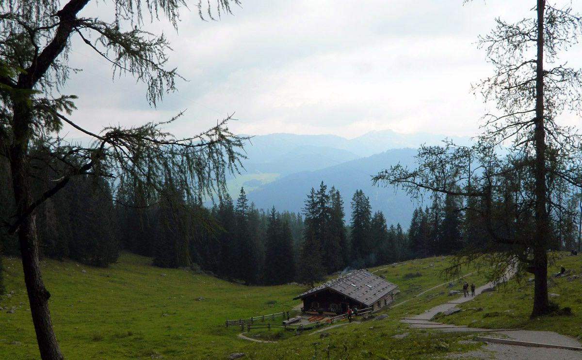
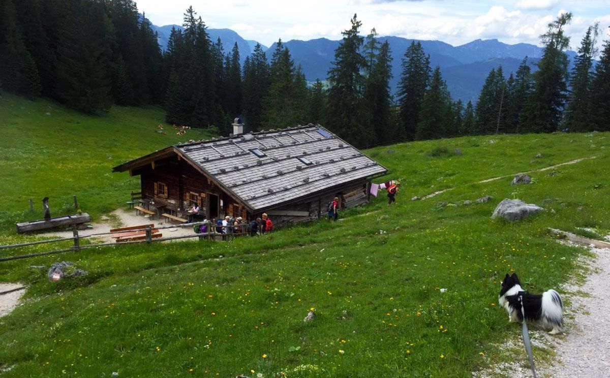
On the way to Watzmannhaus, idyllic Mitterkaseralm invites you to stop for a well-earned break. Above you rises Falzköpfl, with Watzmannhaus already visible high above.
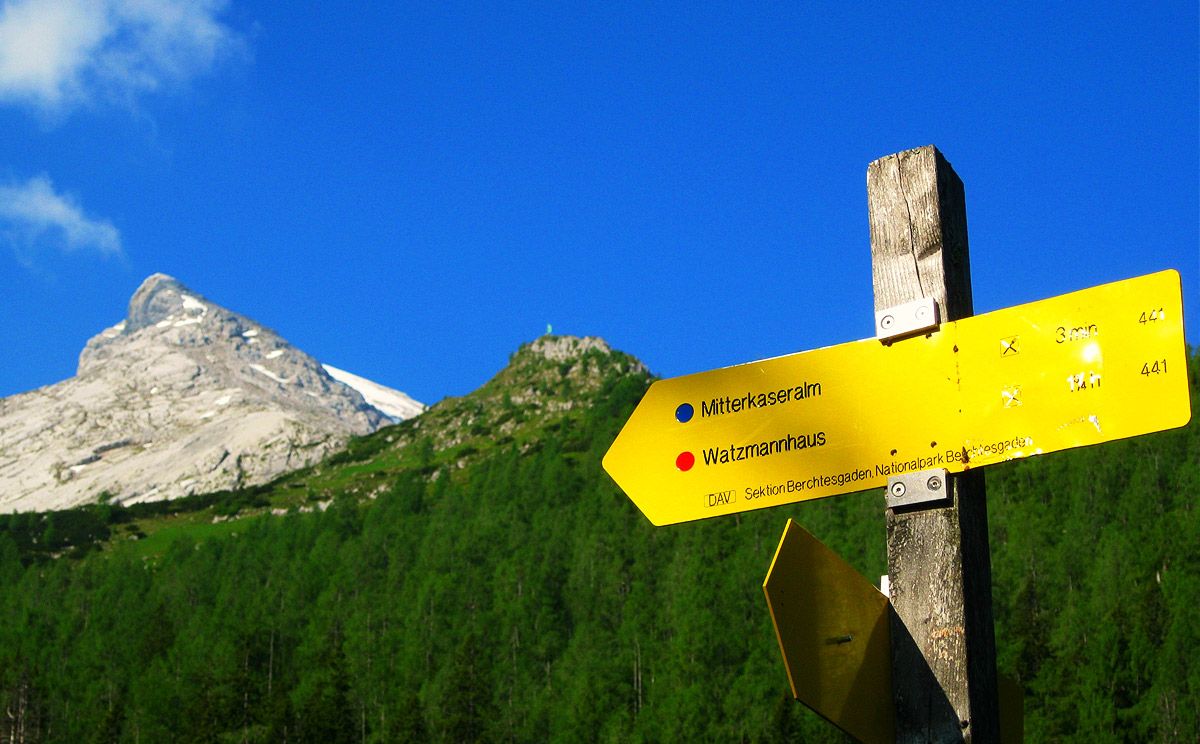
Mitterkaseralm sits at an elevation of 1,420 meters below Falzköpfl, where Watzmannhaus is located. It’s a welcoming place to stop and rest during a hike or alpine tour in the Watzmann region. If you’re hiking to Watzmannhaus or continuing up to Hocheck, the trail takes you right past the alpine hut.
Hike up to Mitterkaseralm
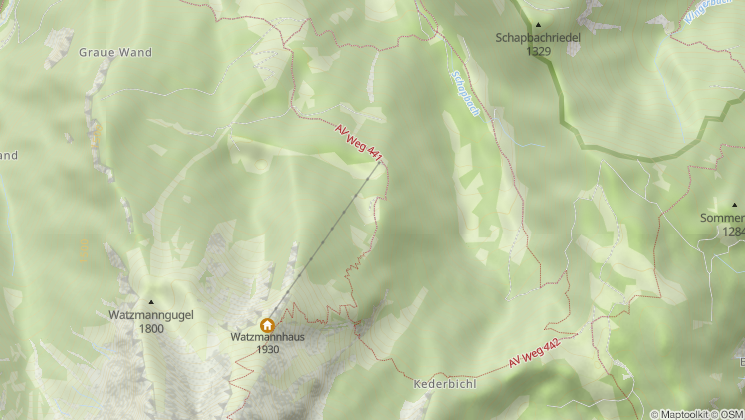
From Wimbachbrücke in Ramsau, follow marked Alpine Club Trail 441 via Stubenalm up to Mitterkaseralm. Alternatively, start at Hammerstiel hiking parking lot in Schönau am Königssee and follow Trail 444 via Schapbachalm to Mitterkaseralm.
Berchtesgaden National Park forest climate station
t the upper end of the alpine pasture at Mitterkaseralm, you’ll find Berchtesgaden National Park’s forest climate station. It is the only Level II monitoring site in Europe located in a larch forest. Of all Bavaria’s forest climate stations, this high-elevation alpine site in Berchtesgaden National Park records the lowest acid deposition within the forest. In terms of acid pollution, Berchtesgaden is considered a “reference site with clean-air characteristics.”
The forest climate station lies high in the Bavarian Alps, where low temperatures limit plant growth. Its remarkable diversity of plant species is particularly noteworthy: with around 120 different vascular plants and mosses, it is the most species-rich Level II monitoring site in Germany.
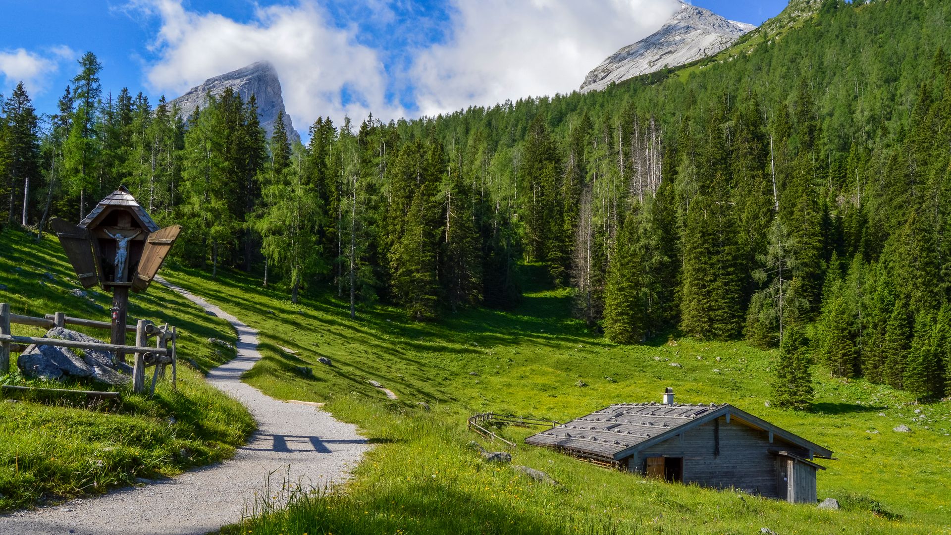
Memorial plaque for poachers
If you continue hiking from Mitterkaseralm toward Watzmannhaus, you’ll come across a memorial plaque in the forest shortly after leaving the hut. It commemorates two poachers who were shot in the Watzmann region on November 3, 1841.